2020s Maps of Los Alamos County, New Mexico
Explore 12 historic maps of Los Alamos County from the 2020s. These maps offer a rare glimpse into what life looked like during the 2020s — showing old roads, neighborhoods, homes, and landmarks that have changed or disappeared over time.
Whether you're researching your family's past, planning a metal detecting trip, or studying how Los Alamos County's landscape evolved across the 2020s, these high-resolution maps are a powerful tool for exploring the history of this region.
- Focus on a specific era: All maps on this page are from the 2020s, giving you a focused view of this time period.
- See what’s changed: Compare century-old streets, trails, and buildings to today's modern landscape using overlays and satellite layers.
- Research with precision: Use these maps for genealogy, historical research, land use analysis, or educational projects.
- View, download, or print: Maps are fully viewable online in high resolution, and can be downloaded or printed for your own records.
Start exploring Los Alamos County's history through authentic maps from the 2020s. This is your window into the past.
Los Alamos County, NM maps
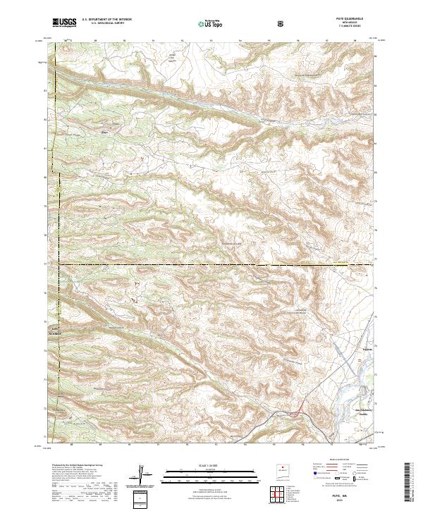
(12)- 2020 Map of Puye, 2020 Print
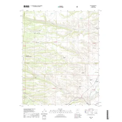 2020 Puye2020 Print · USGSCovers Los Alamos County, including Los Alamos, Otowi, and other nearby areas
 - 2020 Map of Valle Toledo, 2020 Print
 2020 Valle Toledo2020 Print · USGSCovers Los Alamos County, including Sandoval County, United States, and other nearby areas
 - 2020 Map of Frijoles, 2020 Print
 2020 Frijoles2020 Print · USGSCovers Los Alamos County, including Los Alamos, Frijoles, and other nearby areas
 - 2020 Map of Guaje Mountain, 2020 Print
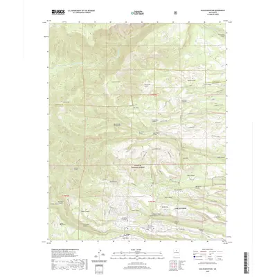 2020 Guaje Mountain2020 Print · USGSCovers Los Alamos County, including Los Alamos, Sandoval County, and other nearby areas
 - 2020 Map of White Rock, 2020 Print
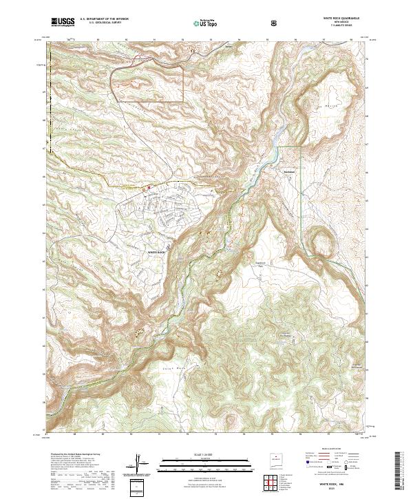
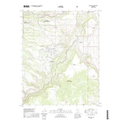 2020 White Rock2020 Print · USGSCovers Los Alamos County, including Los Alamos, White Rock, and other nearby areas
 - 2020 Map of Bland, 2020 Print
 2020 Bland2020 Print · USGSCovers Los Alamos County, including Bland, Sandoval County, and other nearby areas
 - 2023 Map of Guaje Mountain, 2023 Print
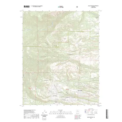 2023 Guaje Mountain2023 Print · USGSLos Alamos and the surrounding high mesas are captured here in a moment of modern growth and outdoor expansion. Researchers can trace the town's residential footprint alongside important community sites like Guaje Pines Cem and the University of New Mexico - Los Alamos.
 - 2023 Map of Valle Toledo, 2023 Print
 2023 Valle Toledo2023 Print · USGSThe Valles Caldera highlands are captured in detail here during the early twenty-first century, showing the volcanic peaks and high-altitude meadows of Sandoval County. Hikers and historians can trace routes across Valle Toledo, identify the slopes of Pajarito Mtn, and follow the headwaters of San Antonio Creek.
 - 2023 Map of Puye, 2023 Print
 2023 Puye2023 Print · USGSThe Pajarito Plateau and the Rio Grande valley meet in this modern survey of the Santa Fe area. Genealogists and historians can trace the relationship between historic sites like Puye and San Ildefonso Pueblo or locate landforms such as Otowi Mesa.
 - 2023 Map of White Rock, 2023 Print
 2023 White Rock2023 Print · USGSThe residential plateau at White Rock and the protected lands of Bandelier National Monument meet at the edge of the Rio Grande in this contemporary study. Researchers can trace the modern street layout and name-rich topography from Chino Mesa to the riverside site at Buckman.
 - 2023 Map of Frijoles, 2023 Print
 2023 Frijoles2023 Print · USGSThe mesas and canyons of Sandoval County are shown here in the contemporary era, where the Manhattan Project National Historical Park meets ancient lands. Researchers can trace the descent of the Rito de los Frijoles through Bandelier National Monument to the Upper Frijoles Falls.
 - 2023 Map of Bland, 2023 Print
 2023 Bland2023 Print · USGSThe high-altitude landscape of Sandoval County appears in detail here, from the massive Valle Grande to the San Miguel Mountains. Genealogists and historians can trace the settlement at Bland and the remote location of Pines.
End of results
Showing maps 1-12 of 12
Top cities of Los Alamos County
Frequently asked questions
- What are the different types of historical maps available for Los Alamos County?
- What is the oldest map of Los Alamos County?
- Where can I purchase historical maps of Los Alamos County for my home or office?
- Where can I download high-res historical maps of Los Alamos County?
- Are there historical topographic maps available for Los Alamos County?
- Is there historical aerial imagery available for Los Alamos County?
- Where are historical maps of Los Alamos County sourced from?