2010s Maps of Los Alamos County, New Mexico
Explore 18 historic maps of Los Alamos County from the 2010s. These maps offer a rare glimpse into what life looked like during the 2010s — showing old roads, neighborhoods, homes, and landmarks that have changed or disappeared over time.
Whether you're researching your family's past, planning a metal detecting trip, or studying how Los Alamos County's landscape evolved across the 2010s, these high-resolution maps are a powerful tool for exploring the history of this region.
- Focus on a specific era: All maps on this page are from the 2010s, giving you a focused view of this time period.
- See what’s changed: Compare century-old streets, trails, and buildings to today's modern landscape using overlays and satellite layers.
- Research with precision: Use these maps for genealogy, historical research, land use analysis, or educational projects.
- View, download, or print: Maps are fully viewable online in high resolution, and can be downloaded or printed for your own records.
Start exploring Los Alamos County's history through authentic maps from the 2010s. This is your window into the past.
Los Alamos County, NM maps
(18)- 2011 Map of Valle Toledo, 2011 Print
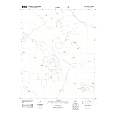 2011 Valle Toledo2011 Print · USGSThe Jemez Mountains at the start of the 2010s reveal a high-altitude landscape of expansive valles and volcanic peaks. Trace the intricate topography of Valle Toledo, the slopes of the Pajarito Mountain Ski Area, and the headwaters of the East Fork Jemez River.
 - 2011 Map of White Rock, 2011 Print
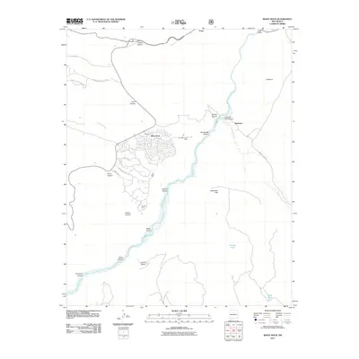 2011 White Rock2011 Print · USGSThe high mesas of Los Alamos County meet the Rio Grande in the early twenty-first century, showing a landscape of suburban growth and deep desert canyons. Trace the development of White Rock and Pajarito Acres alongside historic points like the Otowi Bridge and Buckman.
 - 2011 Map of Puye, 2011 Print
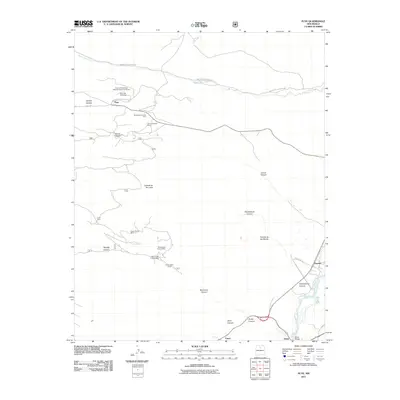 2011 Puye2011 Print · USGSLos Alamos and Rio Arriba counties are shown here in the early twenty-first century, centered on the ancient mesas and modern pumice works. Trace the proximity of Puye Cliff Dwellings to active operations like the Santa Clara Pumice Pit 3 and Copar Pumice Mine.
 - 2011 Map of Bland, 2011 Print
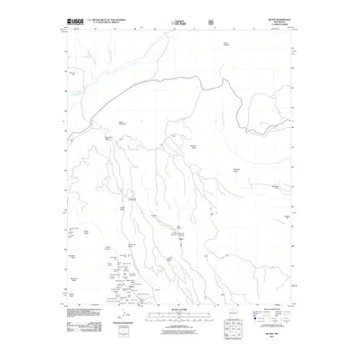 2011 Bland2011 Print · USGSBland and the surrounding canyons are shown here in the early twenty-first century, preserving the intricate layout of a storied New Mexico mining region. Genealogists and historians can trace numerous named claims and sites like the Washington Mine, the Cochiti Mining District, and the settlement of Bland.
 - 2011 Map of Frijoles, 2011 Print
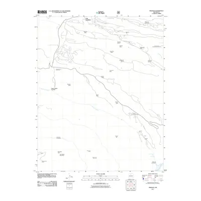 2011 Frijoles2011 Print · USGSBandelier National Monument and the mesa country south of Los Alamos appear in detail in the early 2010s. Researchers can locate significant archaeological landmarks such as Tyuonyi Ruin, the Stone Lions Shrine, and Rainbow House along the Rito de los Frijoles.
 - 2011 Map of Guaje Mountain, 2011 Print
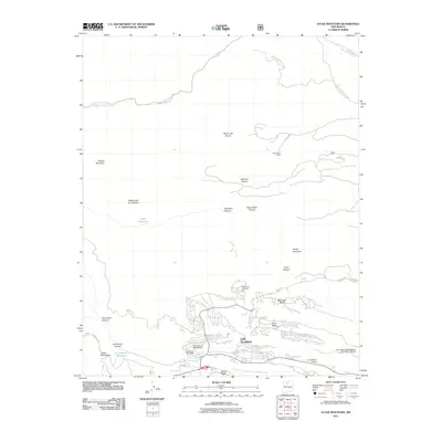 2011 Guaje Mountain2011 Print · USGSLos Alamos and the surrounding Jemez Mountains mesas are captured here at the start of the 2010s. Researchers can trace the layout of the mountain townsite from Guaje Pines Cemetery to the University of New Mexico and the Los Alamos Airport.
 - 2013 Map of Valle Toledo, 2013 Print
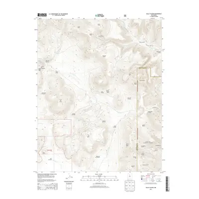 2013 Valle Toledo2013 Print · USGSThe Valles Caldera region in the early 21st century showcases a landscape of high alpine meadows and volcanic domes. Hikers and historians can trace routes like the Que Mazon Trl or explore the Pajarito Mountain Ski Area near Pajarito Mtn.
 - 2013 Map of Puye, 2013 Print
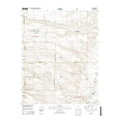 2013 Puye2013 Print · USGSLos Alamos and the surrounding Pueblo lands are captured here in the early twenty-first century, showcasing a landscape of deep canyons and ancient heritage. Researchers can trace tribal boundaries and historic sites like the Puye Cliff Dwellings or the crossing at Otowi Bridge.
 - 2013 Map of Guaje Mountain, 2013 Print
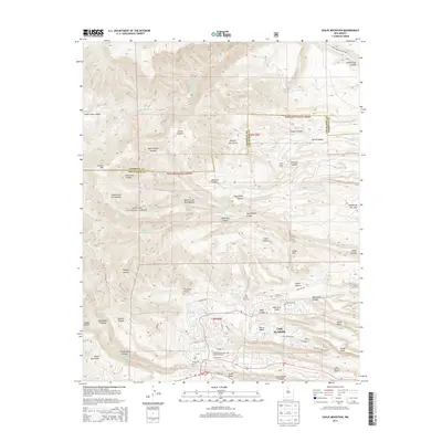 2013 Guaje Mountain2013 Print · USGSLos Alamos and the surrounding high mesas are shown in great detail during the early twenty-first century, as urban growth sits alongside the sprawling national forest. Researchers can trace the local infrastructure and terrain from the Los Alamos Airport to the historic Guaje Pines Cem and Guaje Reservoir.
 - 2013 Map of Frijoles, 2013 Print
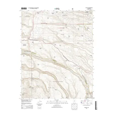 2013 Frijoles2013 Print · USGSLos Alamos and the Pajarito Plateau mesa country are detailed here during the early twenty-first century. Researchers can trace the intersection of ancient sites and modern infrastructure, from the Stone Lions Shrine and Rainbow House to the roads of Los Alamos.
 - 2013 Map of White Rock, 2013 Print
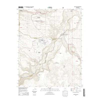 2013 White Rock2013 Print · USGSThe Pajarito Plateau and the community of White Rock come into sharp focus in the early twenty-first century as suburban expansion meets protected wilderness. Local researchers can trace residential growth in Pajarito Acres or locate landmarks like the Otowi Bridge and the ancient site of Navawi.
 - 2013 Map of Bland, 2013 Print
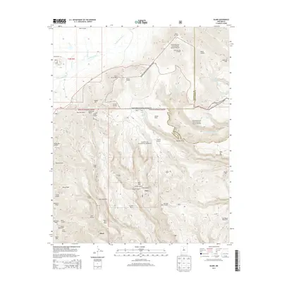 2013 Bland2013 Print · USGSThe Jemez Mountains and the canyonlands of Sandoval County are captured here in the early twenty-first century. Researchers can trace land use patterns across Bland and Pines while locating distinct landmarks like Tent Rock and Obsidian Ridge.
 - 2017 Map of Valle Toledo, 2017 Print
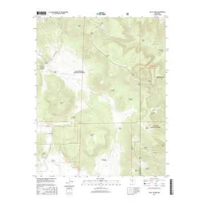 2017 Valle Toledo2017 Print · USGSHigh in the Jemez Mountains during the 2010s, this landscape shows the protected volcanic domes and expansive meadows of the Valles Caldera. Researchers can trace historic routes like the Abrigo Trail and Rito de los Indios Trail past landmarks such as Cerro Toledo and Valle Grande.
 - 2017 Map of Guaje Mountain, 2017 Print
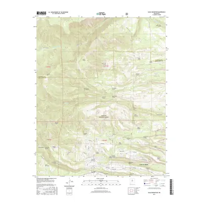 2017 Guaje Mountain2017 Print · USGSLos Alamos and the surrounding high mesas are documented in the mid-2010s, showing a landscape defined by dramatic canyons and scientific infrastructure. Trace the modern layout of the UNM-Los Alamos Campus, Guaje Pines Cemetery, and the Los Alamos Airport.
 - 2017 Map of Frijoles, 2017 Print
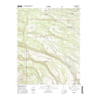 2017 Frijoles2017 Print · USGSLos Alamos and the surrounding Pajarito Plateau are captured here in a landscape of deep canyons and ancestral Puebloan sites. Researchers can locate significant landmarks such as Tyuonyi, the Alcove House, and the Stone Lions within Bandelier National Monument.
 - 2017 Map of Puye, 2017 Print
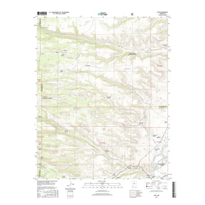 2017 Puye2017 Print · USGSNew Mexico's high plateau and deep canyons are charted here in the years following the millennium, showing the lands of the San Ildefonso Pueblo and Santa Clara Pueblo Division. Genealogists and historians can trace old routes like Camp Hamilton Trail and the crossing at Otowi Bridge.
 - 2017 Map of White Rock, 2017 Print
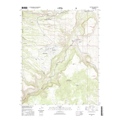 2017 White Rock2017 Print · USGSThe residential plateau at White Rock is captured here during its modern expansion alongside the ancient landscape of Tsankawi. Researchers can trace the canyon-cut terrain from Los Alamos Canyon down to the historic river crossing at Buckman.
 - 2017 Map of Bland, 2017 Print
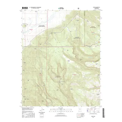 2017 Bland2017 Print · USGSThe volcanic highlands of Sandoval County come into sharp focus in the decade before the current era, showing the intersection of major national preserves. Researchers can trace the steep topography of Bland Canyon and locate landmarks like Tent Rock and Obsidian Ridge.
End of results
Showing maps 1-18 of 18
Top cities of Los Alamos County
Frequently asked questions
- What are the different types of historical maps available for Los Alamos County?
- What is the oldest map of Los Alamos County?
- Where can I purchase historical maps of Los Alamos County for my home or office?
- Where can I download high-res historical maps of Los Alamos County?
- Are there historical topographic maps available for Los Alamos County?
- Is there historical aerial imagery available for Los Alamos County?
- Where are historical maps of Los Alamos County sourced from?