Old Maps of Alvarado, New Mexico for Genealogy
Trace your family roots with 12 historic maps of Alvarado. These high-res maps reveal old neighborhoods, homesites, landmarks, and streets — helping you uncover where your ancestors lived and how the area evolved over time.
- Explore historic neighborhoods: Identify where your relatives may have lived in the 1800s or 1900s.
- Compare maps over time: Trace the changes in streets, buildings, and landmarks for multi-generational research.
- Perfect for genealogy & ancestry research: Used by family historians and researchers to map out lineage and migration.
These maps are an incredible resource for exploring your personal connection to Alvarado's past.
Alvarado, NM maps
(12)- 1941 Map of Desert, 1961 Print
 1941 Desert1961 Print · USGSThe arid borderlands of Otero County and the New Mexico-Texas line are captured here in the early 1940s, when the railroad was the primary artery of life. Genealogists and historians can trace old ranching outposts like McCracken Ranch and Davis Ranch along the Southern Pacific tracks.2 unique versions available
 - 1943 Map of Desert
 1943 Desert1943 Print · USGSOtero County ranching and rail operations are captured here during the early years of the war. Genealogists and historians can trace family landmarks and water sources like the McCracken Ranch, Davis Ranch, and the isolated Desert station along the Southern Pacific.
 - 1948 Map of Desert
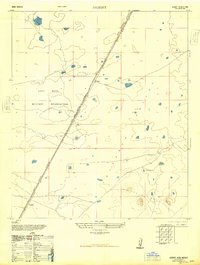 1948 Desert1948 Print · USGSThe Tularosa Valley in the late 1940s was a landscape of military expansion and railway transit. Researchers can trace the path of the Southern Pacific railroad through Fort Bliss Military Reservation and find old stops at Desert and Alvarado.
 - 1955 Map of Desert, 1962 Print
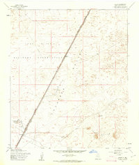 1955 Desert1962 Print · USGSThe Tularosa Valley in the mid-fifties shows the intersection of military expansion and early rail travel. Local historians can trace the Southern Pacific line past Desert and the isolated peaks of Three Buttes near the Fort Bliss Military Reservation.2 unique versions available
 - 1955 Map of Las Cruces, 1963 Print
 1955 Las Cruces1963 Print · USGSSouthern New Mexico comes into focus during the mid-fifties, showing the growth of Las Cruces alongside major military and scientific installations. Genealogists and historians can trace the Southern Pacific tracks through small rail towns like Cambray and Afton, or locate family sites near Hatch and Deming.3 unique versions available
 - 1958 Map of Las Cruces
 1958 Las Cruces1958 Print · USGSSouthern New Mexico in the late fifties was a landscape of rapid scientific and military growth centered on the Rio Grande. Local historians can trace the development of Las Cruces, the campus of New Mexico A and M College, and remote rail sidings like Aden Siding.
 - 1982 Map of Las Cruces
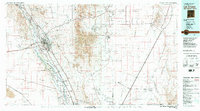 1982 Las Cruces1982 Print · USGSThe Rio Grande valley and the Organ Mountains define this 1980s portrait of southern New Mexico's ranching and military landscape. Trace historic land divisions like the Brazito Grant alongside landmarks such as Santo Tomas and the Silver King Mine.
 - 2010 Map of Desert, 2010 Print
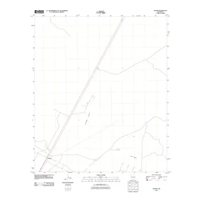 2010 Desert2010 Print · USGSOtero County, New Mexico, is captured here in the early twenty-first century, showing the arid basin landscape of the Tularosa Valley. Researchers can trace local landmarks like Three Buttes and the small settlements of Alvarado and Desert.
 - 2013 Map of Desert, 2013 Print
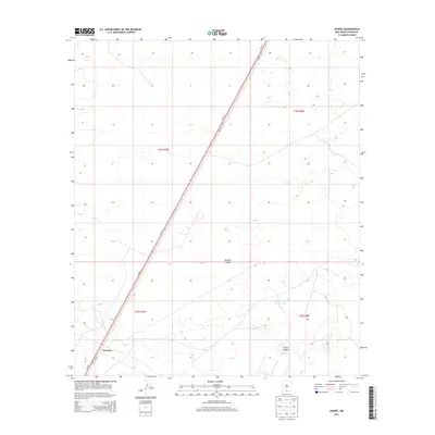 2013 Desert2013 Print · USGSThe high desert of Otero County remains a landscape of open space and transit in the early twenty-first century. Researchers can trace the layout of the Alvarado area and identify local landmarks like Three Buttes and Alvarado Tank Number One.
 - 2017 Map of Desert, 2017 Print
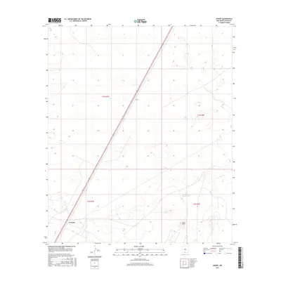 2017 Desert2017 Print · USGSOtero County's arid landscape in 2017 is defined by the thin line of human presence along the highway corridor. Researchers can trace the layout of the Desert and Alvarado settlements while locating landmarks like Three Buttes and Alvarado Tank Number One.
 - 2020 Map of Desert, 2020 Print
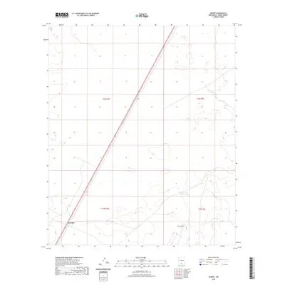 2020 Desert2020 Print · USGSOtero County's southern arid landscape is documented here in the early twenty-first century. Researchers can trace the layout of Alvarado and identify local landmarks like Three Buttes or the essential Alvarado Tank Number One.
 - 2023 Map of Desert, 2023 Print
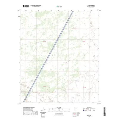 2023 Desert2023 Print · USGSThe high desert of Otero County is shown here in the early 2020s, a landscape shaped by military expansion and transportation corridors. Researchers can locate the isolated Alvarado outpost and water features like Alvarado Tank Number One near the base of Three Buttes.
End of results
Showing maps 1-12 of 12
Top cities near Alvarado
Frequently asked questions
- What are the different types of historical maps available for Alvarado?
- What is the oldest map of Alvarado?
- Where can I purchase historical maps of Alvarado for my home or office?
- Where can I download high-res historical maps of Alvarado?
- Are there historical topographic maps available for Alvarado?
- Is there historical aerial imagery available for Alvarado?
- Where are historical maps of Alvarado sourced from?