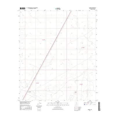
2017 Map of Desert
USGS Topo · Published 2017About this map
Alvarado and the settlement of Desert sit along the primary north-south transportation corridor through the arid Otero County landscape. This 2017 survey reveals a sparse distribution of human activity, defined primarily by the path of Highway 54 as it cuts through the Chihuahuan desert terrain. The landscape is characterized by intermittent water sources and distinct landforms, notably Alvarado Tank Number One and the prominent rising elevation of Three Buttes. The mapping of Public Land Survey System boundaries, including t24s r7e and t25s r8e, provides a structural grid over the open expanse, reflecting the historical division of New Mexico's public lands. This edition serves as a clear record of modern infrastructure and topographical markers in a region where water management and long-distance transit are the primary drivers of settlement patterns.
Find a feature on this map
9 named features on this map. Tap any name to fly to it.
Don’t see what you’re looking for? This feature index may not catch every label — zoom into the map to look around manually.
Map Details
Editions of this 2017 Desert Map
This is the sole edition of this map. No revisions or reprints were ever made.
Other maps of this area

1940 · Orogrande
USGS Topo · 1:62,500

1940 · Newman
USGS Topo · 1:62,500

1941 · Desert
USGS Topo · 1:62,500

1943 · Parker Lake
USGS Topo · 1:62,500

1943 · Desert
USGS Topo · 1:62,500

1943 · Newman
USGS Topo · 1:62,500

1943 · Orogrande
USGS Topo · 1:62,500

1947 · Desert NE
USGS Topo · 1:24,000

1948 · El Wood
USGS Topo · 1:24,000
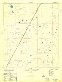
1948 · Desert
USGS Topo · 1:24,000