Old Maps of La Luz, New Mexico for Academic Research
Study the evolution of La Luz with 12 high-resolution historic maps. Whether you're teaching, researching, or modeling changes in land use, these maps provide essential visual documentation of urban, environmental, and geographic change.
- Analyze long-term change: Track patterns in development, transportation, and natural features.
- Ideal for environmental or urban studies: Support academic projects with primary historical map data.
- Use in the classroom or lab: Educators and researchers rely on these maps to bring historical context to life.
These maps are a powerful tool for teaching, research, and visualizing how La Luz has changed over the decades.
La Luz, NM maps
(12)- 1950 Map of Alamogordo, 1955 Print
 1950 Alamogordo1955 Print · USGSMid-century Alamogordo and the Sacramento Mountains are captured here during a period of steady growth and high-altitude development. Researchers can trace the Southern Pacific rail line, locate the State Sch For Blind, or find mountain sites like High Rolls and the Warnock Mine.3 unique versions available
 - 1954 Map of Carlsbad, 1963 Print
 1954 Carlsbad1963 Print · USGSSoutheastern New Mexico's desert peaks and river valleys appear in this mid-century study of the borderlands. Researchers can locate vanished sites like Sacramento City, trace the Pecos River reservoirs, and explore Carlsbad Caverns.3 unique versions available
 - 1958 Map of Carlsbad
 1958 Carlsbad1958 Print · USGSSoutheastern New Mexico in the mid-1950s shows a landscape of deep desert basins and high forest ranges during a period of steady ranching and early tourism. Researchers can trace the path of the Atchison Topeka and Santa Fe railroad or find vanished locales like Sacramento City (abandoned) and Whites City.2 unique versions available
 - 1976 Map of Alamogordo, 1980 Print
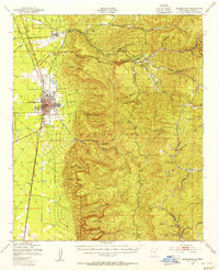
 1976 Alamogordo1980 Print · USGSThe high desert plains of Otero County are frozen in the mid-seventies, showing the urban footprint of Alamogordo against the mountain front. Researchers can trace the development of La Luz and the rugged drainage patterns of Dry Canyon and Marble Canyon.
 - 1979 Map of Alamogordo
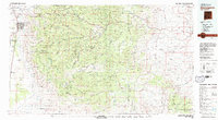 1979 Alamogordo1979 Print · USGSThe high Sacramento Mountains and the Tularosa Valley floor meet in the late seventies, showing the region's unique mix of scientific research and military land use. Genealogists and historians can trace routes to Cloudcroft, the Solar Observatory, and the McGregor Range.
 - 1981 Map of Alamogordo North, 1982 Print
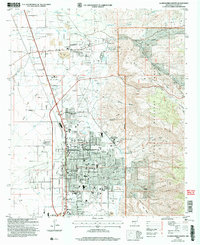
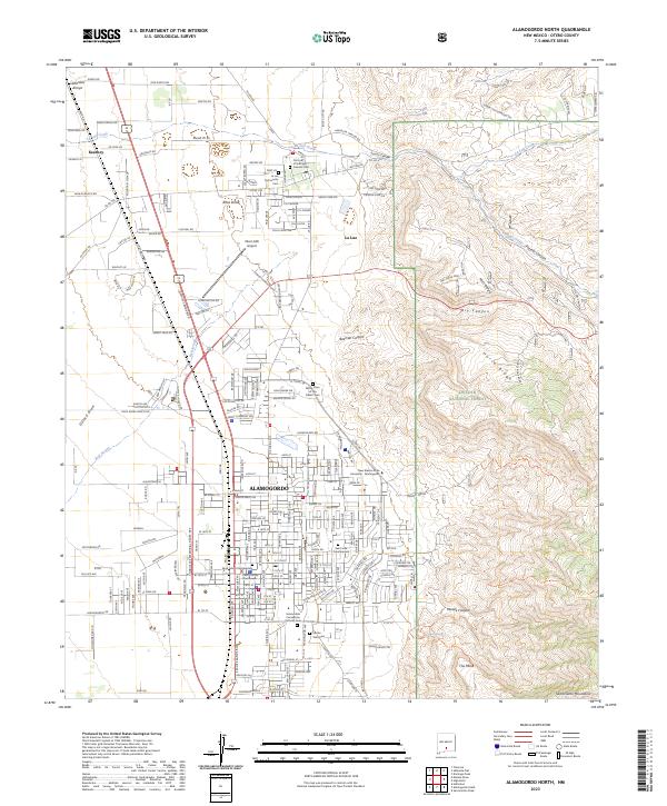
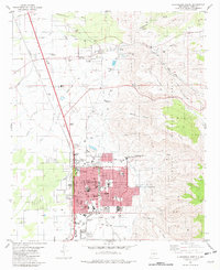 1981 Alamogordo North1982 Print · USGSAlamogordo and the historic village of La Luz are captured in the early eighties as they expanded along the base of the Sacramento Mountains. Researchers can trace local landmarks like the International Space Hall of Fame, the N M State University (Alamogordo Branch), and the old Southern Pacific line.
 - 2004 Map of Alamogordo North, 2006 Print
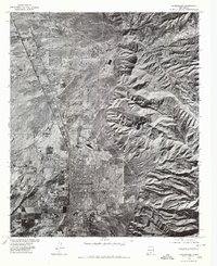
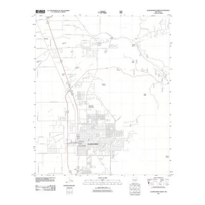
 2004 Alamogordo North2006 Print · USGSThe Tularosa Basin and the Sacramento Mountain foothills meet in this 2004 survey of the Alamogordo area. Researchers can trace the development of civic institutions like the Museum of Space History and historic settlements like La Luz.
 - 2011 Map of Alamogordo North, 2011 Print
 2011 Alamogordo North2011 Print · USGSCovers La Luz, including Alamogordo, Otero County, and other nearby areas
 - 2013 Map of Alamogordo North, 2013 Print
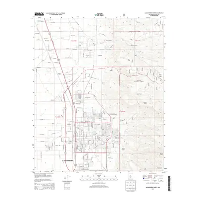 2013 Alamogordo North2013 Print · USGSCovers La Luz, including Alamogordo, Otero County, and other nearby areas
 - 2017 Map of Alamogordo North, 2017 Print
 2017 Alamogordo North2017 Print · USGSCovers La Luz, including Alamogordo, Otero County, and other nearby areas
 - 2020 Map of Alamogordo North, 2020 Print
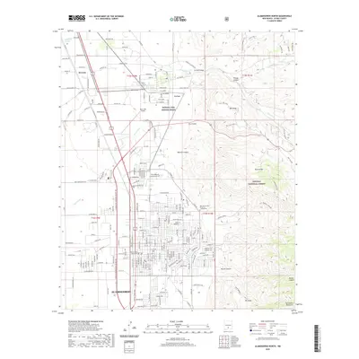 2020 Alamogordo North2020 Print · USGSCovers La Luz, including Alamogordo, Otero County, and other nearby areas
 - 2023 Map of Alamogordo North, 2023 Print
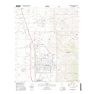
 2023 Alamogordo North2023 Print · USGSThe Tularosa Basin meets the Sacramento Mountains in this recent look at the Otero County seat. Genealogists and local historians can locate several burial grounds including Monte Vista Cem and Our Lady of the Light Catholic Cem.
End of results
Showing maps 1-12 of 12
Top cities near La Luz
- Alamogordo historical maps
- Tularosa historical maps
- Boles Acres historical maps
- Alamorosa historical maps
- High Rolls historical maps
- Cloudcroft historical maps
Frequently asked questions
- What are the different types of historical maps available for La Luz?
- What is the oldest map of La Luz?
- Where can I purchase historical maps of La Luz for my home or office?
- Where can I download high-res historical maps of La Luz?
- Are there historical topographic maps available for La Luz?
- Is there historical aerial imagery available for La Luz?
- Where are historical maps of La Luz sourced from?