Old Maps of Old Wright Place, New Mexico for Genealogy
Trace your family roots with 10 historic maps of Old Wright Place. These high-res maps reveal old neighborhoods, homesites, landmarks, and streets — helping you uncover where your ancestors lived and how the area evolved over time.
- Explore historic neighborhoods: Identify where your relatives may have lived in the 1800s or 1900s.
- Compare maps over time: Trace the changes in streets, buildings, and landmarks for multi-generational research.
- Perfect for genealogy & ancestry research: Used by family historians and researchers to map out lineage and migration.
These maps are an incredible resource for exploring your personal connection to Old Wright Place's past.
Old Wright Place, NM maps
(10)- 1943 Map of Pendejo Wash
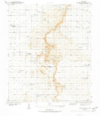 1943 Pendejo Wash1943 Print · USGSOtero County ranch lands are documented here during the early 1940s, showing a landscape defined by desert water management. Genealogists and historians can trace family-named sites like the Old Wright Place and vital water sources such as Wilde Well and Hay Meadow Tank.2 unique versions available
 - 1954 Map of Carlsbad, 1963 Print
 1954 Carlsbad1963 Print · USGSSoutheastern New Mexico's desert peaks and river valleys appear in this mid-century study of the borderlands. Researchers can locate vanished sites like Sacramento City, trace the Pecos River reservoirs, and explore Carlsbad Caverns.3 unique versions available
 - 1958 Map of Carlsbad
 1958 Carlsbad1958 Print · USGSSoutheastern New Mexico in the mid-1950s shows a landscape of deep desert basins and high forest ranges during a period of steady ranching and early tourism. Researchers can trace the path of the Atchison Topeka and Santa Fe railroad or find vanished locales like Sacramento City (abandoned) and Whites City.2 unique versions available
 - 1979 Map of Crow Flats
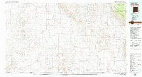 1979 Crow Flats1979 Print · USGSThe high desert borderlands of Otero County and West Texas are captured here during the late seventies, showing a landscape of remote ranches and military ranges. Researchers can trace land use through the Old Wright Place, Alton Jones Ranch, and the Runyan Landing Field.2 unique versions available
 - 1980 Map of Wilde Tank
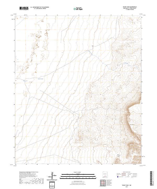
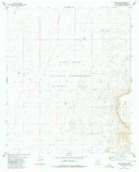 1980 Wilde Tank1980 Print · USGSThe McGregor Range in southern New Mexico is captured here in the early 1980s, showcasing a landscape of military corridors and ranching remnants. Researchers can trace the water history of the region through catchments like Wilde Tank and the Old Wright Place.
 - 2010 Map of Wilde Tank, 2010 Print
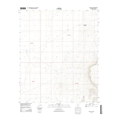
 2010 Wilde Tank2010 Print · USGSCovers Old Wright Place, including Otero County, United States, and other nearby areas
 - 2013 Map of Wilde Tank, 2013 Print
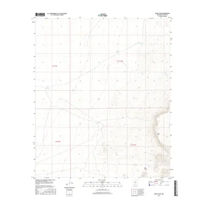
 2013 Wilde Tank2013 Print · USGSCovers Old Wright Place, including Otero County, United States, and other nearby areas
 - 2017 Map of Wilde Tank, 2017 Print
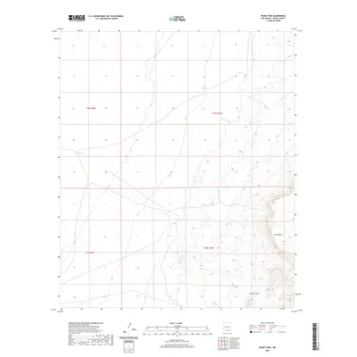
 2017 Wilde Tank2017 Print · USGSCovers Old Wright Place, including Otero County, United States, and other nearby areas
 - 2020 Map of Wilde Tank, 2020 Print
 2020 Wilde Tank2020 Print · USGSCovers Old Wright Place, including Otero County, United States, and other nearby areas
 - 2023 Map of Wilde Tank, 2023 Print
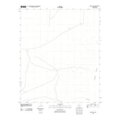
 2023 Wilde Tank2023 Print · USGSOtero County's high desert reaches and military boundary lines are documented in this recent survey. Researchers can trace land use patterns across FORT BLISS, identifying vital water points like Wilde Tank and the natural drainage of Pendejo Wash.
End of results
Showing maps 1-10 of 10
Top cities near Old Wright Place
Frequently asked questions
- What are the different types of historical maps available for Old Wright Place?
- What is the oldest map of Old Wright Place?
- Where can I purchase historical maps of Old Wright Place for my home or office?
- Where can I download high-res historical maps of Old Wright Place?
- Are there historical topographic maps available for Old Wright Place?
- Is there historical aerial imagery available for Old Wright Place?
- Where are historical maps of Old Wright Place sourced from?