Old Maps of Cañones, New Mexico for Hiking & Exploration
Hike through history with 13 historic maps of Cañones. Explore old trails, ghost towns, and forgotten backroads — perfect for outdoor adventurers and local explorers.
- Rediscover forgotten places: Map out old mining camps, roads, and footpaths that no longer exist on modern maps.
- Layer with modern tools: Combine with LiDAR or satellite views to plan hikes through historical terrain.
- Made for exploration: Popular among hikers, overlanders, and local history lovers.
Use these maps to find adventure and explore the hidden past of Cañones.
Cañones, NM maps
(13)- 1918 Map of Abiquiu
 1918 Abiquiu1918 Print · USGSUpper Rio Arriba County comes alive in the years following the Great War, showing a network of historic land grants and riverside villages. Researchers can trace the path of the D. and R. G. R. R. or locate ancestral roots in Abiquiu, Vallecitos, and San Juan.
 - 1953 Map of Canones, 1954 Print
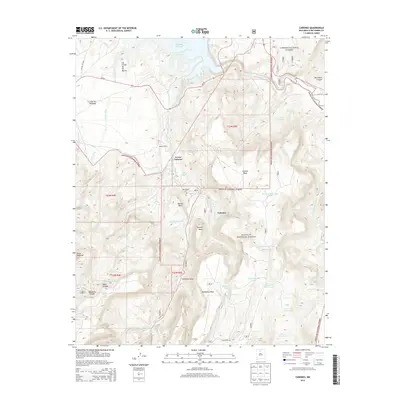
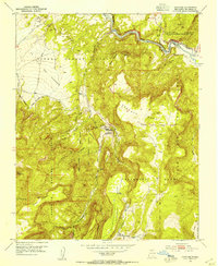 1953 Canones1954 Print · USGSSpanish land grants still shape the geography of this Rio Arriba territory in the mid-1950s. Genealogists can trace family footprints around Cañones, locating the Capilla de San Miguel, Salazar Ranch, and several local cemeteries.4 unique versions available
 - 1953 Map of Abiquiu, 1957 Print
 1953 Abiquiu1957 Print · USGSNorthern New Mexico in the early fifties shows a landscape of historic land grants and canyon communities. Genealogists and historians can trace traditional life through landmarks like Abiquiu, the Capilla de San Miguel, and the old Cañones Grade School.2 unique versions available
 - 1954 Map of Aztec, 1975 Print
 1954 Aztec1975 Print · USGSNorthern New Mexico and southern Colorado come alive in the mid-1950s, showing the high-country settlements and tribal lands of the San Juan Basin. Genealogists and historians can trace the path of the Denver & Rio Grande Western RR and locate communities like Abiquiu, Park View, and Lumberton.4 unique versions available
 - 1958 Map of Aztec
 1958 Aztec1958 Print · USGSNorthern New Mexico and the southern Colorado border are captured here during the mid-fifties, showing the rugged intersection of national forests and tribal lands. Researchers can trace the Denver and Rio Grande Western rail line and locate remote outposts like Blanco Trading Post or Sargent Ranch.
 - 1962 Map of Aztec
 1962 Aztec1962 Print · USGSNorthwestern New Mexico in the early sixties showcases a landscape defined by the arrival of the Navajo Reservoir and the high-altitude timber of the Carson National Forest. Trace the path of the Denver & Rio Grande Western RR or locate historic settlements like Tierra Amarilla and Gobernador.
 - 1965 Map of Aztec
 1965 Aztec1965 Print · USGSNorthern New Mexico and southern Colorado come alive in the mid-sixties, from the San Juan Basin to the high Jemez Mountains. Trace the narrow-gauge Denver & Rio Grande Western RR through Monero or locate old outposts like Blanco Trading Post.
 - 1995 Map of Canones, 1998 Print
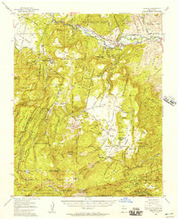
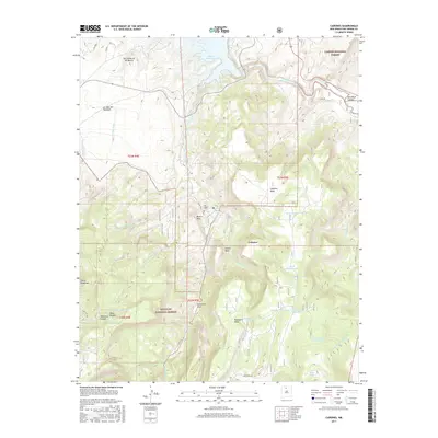
 1995 Canones1998 Print · USGSThe Rio Arriba highlands during the mid-nineties reveal a landscape shaped by ancestral land grants and high-altitude ranching. Genealogists and historians can trace local ties at Cañones, the San Miguel (Cem), and the Salazar Ranch.
 - 2011 Map of Canones, 2011 Print
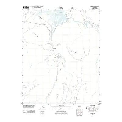 2011 Canones2011 Print · USGSCovers Cañones, including Lower Cañones, Rio Arriba County, and other nearby areas
 - 2013 Map of Canones, 2013 Print
 2013 Canones2013 Print · USGSCovers Cañones, including Lower Cañones, Rio Arriba County, and other nearby areas
 - 2017 Map of Canones, 2017 Print
 2017 Canones2017 Print · USGSCovers Cañones, including Lower Cañones, Rio Arriba County, and other nearby areas
 - 2020 Map of Canones, 2020 Print
 2020 Canones2020 Print · USGSCovers Cañones, including Lower Cañones, Rio Arriba County, and other nearby areas
 - 2023 Map of Canones, 2023 Print
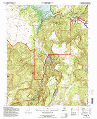
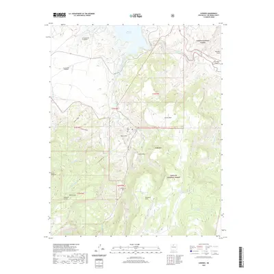
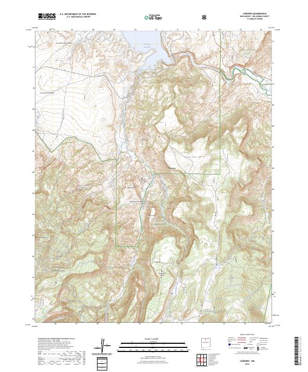 2023 Canones2023 Print · USGSThe Rio Arriba backcountry comes into focus in this contemporary survey of the high mesas and river valleys north of the Santa Fe National Forest. Trace local history through the San Miguel Cem and the settlement at Cañones, or explore the drainages around the Abiquiu Reservoir and Rio Chama.
End of results
Showing maps 1-13 of 13
Top cities near Cañones
Frequently asked questions
- What are the different types of historical maps available for Cañones?
- What is the oldest map of Cañones?
- Where can I purchase historical maps of Cañones for my home or office?
- Where can I download high-res historical maps of Cañones?
- Are there historical topographic maps available for Cañones?
- Is there historical aerial imagery available for Cañones?
- Where are historical maps of Cañones sourced from?