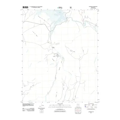
2011 Map of Canones
USGS Topo · Published 2011About this map
Cañones and its surrounding high-desert mesas define this northern New Mexico landscape, where the confluence of several arroyos feeds into the Cañones Creek drainage. The village remains a focal point of local history, anchored by the Cañones Post Office and the San Miguel Cemetery. This area preserves significant cultural depth, notably the Tsiping Archaeological District situated on the heights between major drainages. To the north, the modern hydrology of the region is dominated by Abiquiu Lake and the Abiquiu Dam, which regulate the flow of the Rio Chama as it cuts through Red Wash Canyon. The map reveals a pattern of rural settlement along the valley floors, including the Salazar Ranch and Lower Cañones, contrasted against the steep, flat-topped elevations of Blanca Mesa, Pueblo Mesa, and Polvadera Mesa. Local transportation is traced through a network of unpaved routes like Polvadera Rd and County Rd 194 that navigate the complex system of cañadas and arroyos.
Find a feature on this map
32 named features on this map. Tap any name to fly to it.
Don’t see what you’re looking for? This feature index may not catch every label — zoom into the map to look around manually.
Map Details
Editions of this 2011 Canones Map
This is the sole edition of this map. No revisions or reprints were ever made.
Other maps of this area
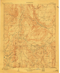
1909 · Gallina
USGS Topo · 1:125,000
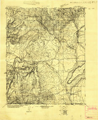
1918 · Abiquiu
USGS Topo · 1:125,000
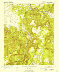
1953 · Canones
USGS Topo · 1:24,000
1953 · Cerro Del Grant
USGS Topo · 1:24,000
1953 · Abiquiu
USGS Topo · 1:24,000
1953 · Vallecitos
USGS Topo · 1:24,000
1953 · Polvadera Peak
USGS Topo · 1:24,000
1953 · Echo Ampitheater
USGS Topo · 1:24,000
1953 · Canjilon SE
USGS Topo · 1:24,000
1953 · Youngsville
USGS Topo · 1:24,000