2020s Maps of Bloomfield, New Mexico
Explore 8 historic maps of Bloomfield from the 2020s. These maps offer a rare glimpse into what life looked like during the 2020s — showing old roads, neighborhoods, homes, and landmarks that have changed or disappeared over time.
Whether you're researching your family's past, planning a metal detecting trip, or studying how Bloomfield's landscape evolved across the 2020s, these high-resolution maps are a powerful tool for exploring the history of this region.
- Focus on a specific era: All maps on this page are from the 2020s, giving you a focused view of this time period.
- See what’s changed: Compare century-old streets, trails, and buildings to today's modern landscape using overlays and satellite layers.
- Research with precision: Use these maps for genealogy, historical research, land use analysis, or educational projects.
- View, download, or print: Maps are fully viewable online in high resolution, and can be downloaded or printed for your own records.
Start exploring Bloomfield's history through authentic maps from the 2020s. This is your window into the past.
Bloomfield, NM maps
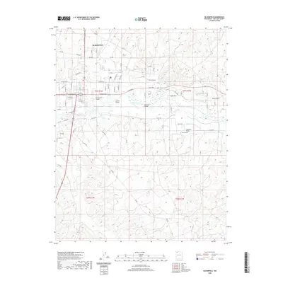
(8)- 2020 Map of Horn Canyon, 2020 Print
 2020 Horn Canyon2020 Print · USGSCovers Bloomfield, including Farmington, Eastern Navajo Agency, and other nearby areas
 - 2020 Map of Flora Vista, 2020 Print
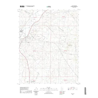
 2020 Flora Vista2020 Print · USGSCovers Bloomfield, including Farmington, Aztec, and other nearby areas
 - 2020 Map of Aztec, 2020 Print
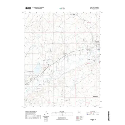
 2020 Aztec2020 Print · USGSCovers Bloomfield, including Aztec, Aztec, and other nearby areas
 - 2020 Map of Bloomfield, 2020 Print
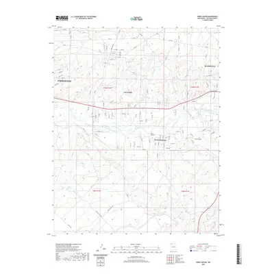
 2020 Bloomfield2020 Print · USGSCovers Bloomfield, including San Juan County, United States, and other nearby areas
 - 2023 Map of Horn Canyon, 2023 Print
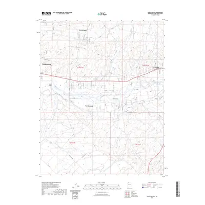 2023 Horn Canyon2023 Print · USGSUpper San Juan River valley life in the early 2020s is defined by the vital irrigation networks that support West Hammond and Lee Acres. Researchers can trace the legacy of water management along the Hammond Main Canal or locate the Farmington Mennonite Cem atop the mesa.
 - 2023 Map of Flora Vista, 2023 Print
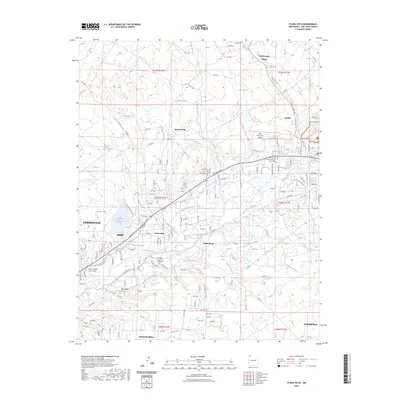 2023 Flora Vista2023 Print · USGSThe Animas River valley comes into sharp focus during the early twenty-first century, revealing a complex landscape of irrigation and highland mesas. You can trace the path of historic water systems like the Halford Independent Ditch or locate family sites at the Flora Vista Cem and Memory Gardens of Farmington.
 - 2023 Map of Bloomfield, 2023 Print
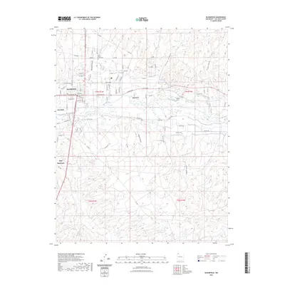 2023 Bloomfield2023 Print · USGSThe San Juan River valley comes into sharp focus during the early 2020s, revealing the modern footprint of Bloomfield and its surrounding agricultural outskirts. Researchers can locate several burial sites like Saint Marys Catholic Cem and trace water routes including Citizens Ditch.
 - 2023 Map of Aztec, 2023 Print
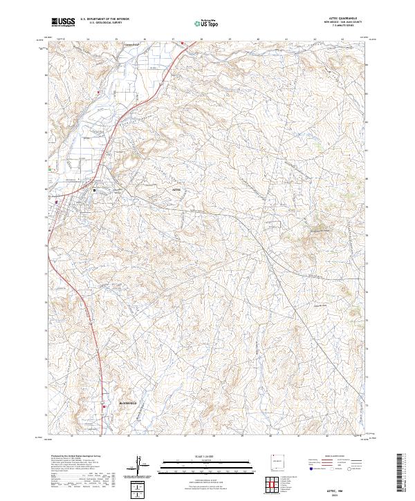 2023 Aztec2023 Print · USGSSan Juan County comes into sharp focus in this recent survey of the Animas River valley and its surrounding high desert. Trace the historic water routes of Farmers Ditch near Aztec or locate ancestral landmarks at the Aztec Ruins National Monument.
End of results
Showing maps 1-8 of 8
Top cities near Bloomfield
- Farmington historical maps
- Aztec historical maps
- Eastern Navajo Agency historical maps
- Flora Vista historical maps
Frequently asked questions
- What are the different types of historical maps available for Bloomfield?
- What is the oldest map of Bloomfield?
- Where can I purchase historical maps of Bloomfield for my home or office?
- Where can I download high-res historical maps of Bloomfield?
- Are there historical topographic maps available for Bloomfield?
- Is there historical aerial imagery available for Bloomfield?
- Where are historical maps of Bloomfield sourced from?