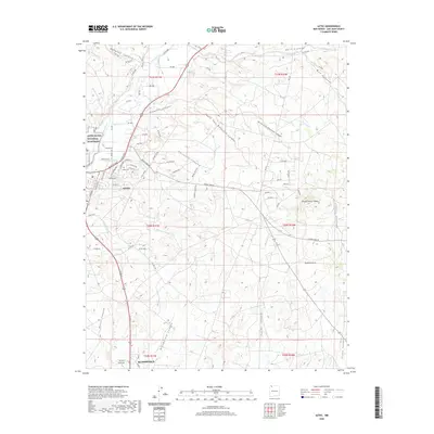
2020 Map of Aztec
USGS Topo · Published 2020About this map
The Animas River corridor anchors this modern survey of San Juan County, illustrating the juxtaposition of ancient heritage and contemporary infrastructure. Just north of the developed streets of Aztec lies the Aztec Ruins National Monument, a significant archaeological site preserved amidst the growing residential and commercial grid. The water management systems so critical to high-desert life are clearly visible, including the Farmers Ditch and Farmers Arroyo, which navigate the complex drainage systems of the San Juan Basin.
Find a feature on this map
84 named features on this map. Tap any name to fly to it.
Don’t see what you’re looking for? This feature index may not catch every label — zoom into the map to look around manually.
Map Details
Editions of this 2020 Aztec Map
This is the sole edition of this map. No revisions or reprints were ever made.
Other maps of this area

1889 · Largo
USGS Topo · 1:250,000

1889 · Chaco
USGS Topo · 1:250,000

1892 · Chaco
USGS Topo · 1:250,000

1895 · Largo
USGS Topo · 1:250,000

1954 · Shiprock
USGS Topo · 1:250,000

1954 · Aztec
USGS Topo · 1:250,000

1958 · Shiprock
USGS Topo · 1:250,000

1958 · Aztec
USGS Topo · 1:250,000

1959 · Shiprock
USGS Topo · 1:250,000

1959 · Aztec
USGS Topo · 1:62,500