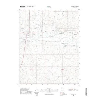
2020 Map of Bloomfield
USGS Topo · Published 2020About this map
Bloomfield sits at the northern edge of this topographical survey, concentrated along the intersection of major thoroughfares like W Broadway Ave and N 1st St. The town's grid is bounded by a diverse network of local roads including Cemetary Rd and W Blanco Blvd, reflecting its growth as a regional hub in San Juan County. The landscape south of the town is defined by the winding course of the San Juan River, which serves as a primary geographic divider before the terrain rises into a series of deep drainages and family-named landmarks.
Find a feature on this map
75 named features on this map. Tap any name to fly to it.
Don’t see what you’re looking for? This feature index may not catch every label — zoom into the map to look around manually.
Map Details
Editions of this 2020 Bloomfield Map
This is the sole edition of this map. No revisions or reprints were ever made.
Other maps of this area

1889 · Largo
USGS Topo · 1:250,000

1889 · Chaco
USGS Topo · 1:250,000

1892 · Chaco
USGS Topo · 1:250,000

1895 · Largo
USGS Topo · 1:250,000

1954 · Shiprock
USGS Topo · 1:250,000

1954 · Aztec
USGS Topo · 1:250,000

1958 · Shiprock
USGS Topo · 1:250,000

1958 · Aztec
USGS Topo · 1:250,000

1959 · Shiprock
USGS Topo · 1:250,000

1959 · Aztec
USGS Topo · 1:62,500