Old Maps of Conchas, New Mexico for Academic Research
Study the evolution of Conchas with 8 high-resolution historic maps. Whether you're teaching, researching, or modeling changes in land use, these maps provide essential visual documentation of urban, environmental, and geographic change.
- Analyze long-term change: Track patterns in development, transportation, and natural features.
- Ideal for environmental or urban studies: Support academic projects with primary historical map data.
- Use in the classroom or lab: Educators and researchers rely on these maps to bring historical context to life.
These maps are a powerful tool for teaching, research, and visualizing how Conchas has changed over the decades.
Conchas, NM maps
(8)- 1954 Map of Santa Fe, 1963 Print
 1954 Santa Fe1963 Print · USGSNew Mexico's high mountains and eastern plains meet in the mid-fifties, showing a landscape defined by the Sangre de Cristo Mountains and the Pecos River. Trace family roots and local history through San Christobal Church, Sena School, and the historic Las Vegas rail corridor.4 unique versions available
 - 1958 Map of Santa Fe
 1958 Santa Fe1958 Print · USGSThe Sangre De Cristo Mountains meet the high plains in the late 1950s, showing a landscape defined by rail corridors and ranching. Genealogists can trace family-named sites like Upton Ranch or visit the Fort Union (Ruins) and Tuloso School.
 - 1968 Map of Conchas Dam, 1971 Print
 1968 Conchas Dam1971 Print · USGSSan Miguel County underwent a dramatic transformation in the late sixties as the reservoir reshaped the Canadian River valley. Genealogists and historians can trace old landmarks like the Alamosa Plaza Cem, the Pablo Montoya Grant boundary, and the settlement of Hooverville.
 - 2010 Map of Conchas Dam, 2010 Print
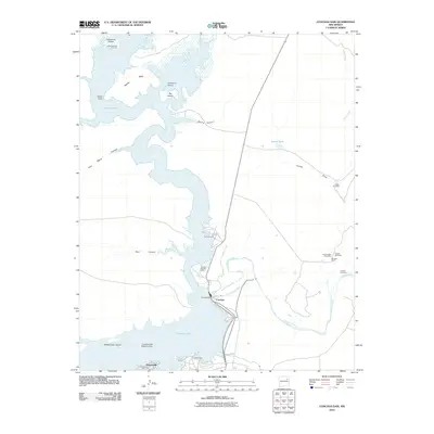 2010 Conchas Dam2010 Print · USGSThe Conchas Dam area at the start of the 21st century centers on the massive reservoir where the Canadian River meets its tributaries. Researchers can locate historic burial sites like Alamosa Plaza Cemetery and trace local ranching history at Murrells Ranch.
 - 2013 Map of Conchas Dam, 2013 Print
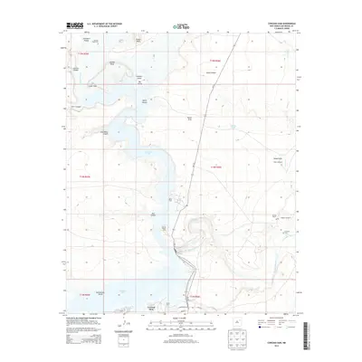 2013 Conchas Dam2013 Print · USGSSan Miguel County ranching and water infrastructure are detailed here in the early twenty-first century. Researchers can trace historic family burial sites at Alamosa Plaza Cem and local landmarks like Murrells Ranch or the Tulosa Windmill.
 - 2017 Map of Conchas Dam, 2017 Print
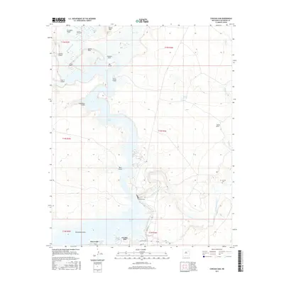 2017 Conchas Dam2017 Print · USGSThe high plains and reservoir of San Miguel County are shown here in the mid-2010s, centered on the engineering of the Conchas Dam. Researchers can locate historic burial sites at Alamosa Plaza Cem and La Cinta Cem or trace the Bell Ranch Canal.
 - 2020 Map of Conchas Dam, 2020 Print
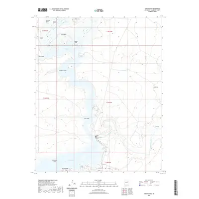 2020 Conchas Dam2020 Print · USGSSan Miguel County ranchlands meet the waters of the Canadian River at the start of the 2020s. Genealogists can trace early area history through the Alamosa Plaza Cem and La Cinta Cem, while lake explorers can find Rattlesnake Island and Hooverville.
 - 2023 Map of Conchas Dam, 2023 Print
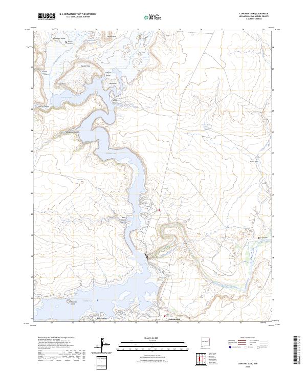 2023 Conchas Dam2023 Print · USGSConchas Lake and the Canadian River valley are documented in this contemporary survey of San Miguel County. Researchers can identify local landmarks and burial sites like Alamosa Plaza Cem, the Bell Ranch Canal, and the community of Hooverville.
End of results
Showing maps 1-8 of 8
Frequently asked questions
- What are the different types of historical maps available for Conchas?
- What is the oldest map of Conchas?
- Where can I purchase historical maps of Conchas for my home or office?
- Where can I download high-res historical maps of Conchas?
- Are there historical topographic maps available for Conchas?
- Is there historical aerial imagery available for Conchas?
- Where are historical maps of Conchas sourced from?