Old Maps of Tres Lagunas, New Mexico for Hiking & Exploration
Hike through history with 12 historic maps of Tres Lagunas. Explore old trails, ghost towns, and forgotten backroads — perfect for outdoor adventurers and local explorers.
- Rediscover forgotten places: Map out old mining camps, roads, and footpaths that no longer exist on modern maps.
- Layer with modern tools: Combine with LiDAR or satellite views to plan hikes through historical terrain.
- Made for exploration: Popular among hikers, overlanders, and local history lovers.
Use these maps to find adventure and explore the hidden past of Tres Lagunas.
Tres Lagunas, NM maps
(12)- 1889 Map of Santa Fe, 1963 Print
 1889 Santa Fe1963 Print · USGSSanta Fe and the surrounding high country appear here in the late nineteenth century as the railroad began transforming the territory. Genealogists and historians can trace early settlements like Santuario, identify family sites at Gonzales Ranch, and locate the historic Old Fort Marcy.
 - 1894 Map of Santa Fe
 1894 Santa Fe1894 Print · USGSSanta Fe and its surrounding high-country villages appear here during the territorial era of the late nineteenth century. Genealogists and historians can trace the routes of early railroads and locate specific landmarks like Old Fort Marcy, Gonzales Ranch, and Tesuque Pueblo.5 unique versions available
 - 1954 Map of Santa Fe, 1963 Print
 1954 Santa Fe1963 Print · USGSNew Mexico's high mountains and eastern plains meet in the mid-fifties, showing a landscape defined by the Sangre de Cristo Mountains and the Pecos River. Trace family roots and local history through San Christobal Church, Sena School, and the historic Las Vegas rail corridor.4 unique versions available
 - 1958 Map of Santa Fe
 1958 Santa Fe1958 Print · USGSThe Sangre De Cristo Mountains meet the high plains in the late 1950s, showing a landscape defined by rail corridors and ranching. Genealogists can trace family-named sites like Upton Ranch or visit the Fort Union (Ruins) and Tuloso School.
 - 1961 Map of Rosilla Peak, 1966 Print
 1961 Rosilla Peak1966 Print · USGSSan Miguel County high country is documented here in the early sixties as the mountain economy balanced ranching and mining. Researchers can locate the Jones Mine, the site at El Macho, and old riverside settlements like Terrero and Tres Lagunas.3 unique versions available
 - 1983 Map of Santa Fe, 1984 Print
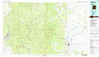 1983 Santa Fe1984 Print · USGSThe high Sangre de Cristo Mountains and the growing state capital define this early 1980s landscape during a period of expanding infrastructure. Researchers can trace historic land patterns and transit routes from Nambe Pueblo and Glorieta Pass to the Atchison Topeka and Santa Fe RR line.
 - 2002 Map of Rosilla Peak, 2003 Print
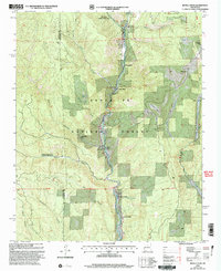 2002 Rosilla Peak2003 Print · USGSThe Pecos River valley north of Pecos reveals its secluded ranching and forest history at the dawn of the millennium. Researchers can trace family-named landmarks like Martin Ranch and Brush Ranch, or locate the historic El Macho (Site) and Terrero settlement.
 - 2011 Map of Rosilla Peak, 2011 Print
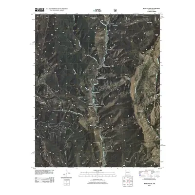 2011 Rosilla Peak2011 Print · USGSSan Miguel County high country is shown here in the early 2000s, where small riverfront communities and old mining sites line the steep canyon walls. Researchers can trace family history at El Macho Cemetery or locate the historic Jones Mine and Gould and Thomas Mine.
 - 2013 Map of Rosilla Peak, 2013 Print
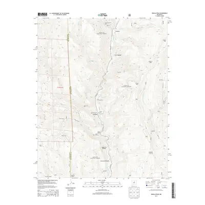 2013 Rosilla Peak2013 Print · USGSUpper Pecos River canyon life is documented here in the early twenty-first century as the valley connects remote mountain outposts. Researchers can trace families and land use at the El Macho Cem, Camp La Salle, and the Martin Ranch.
 - 2017 Map of Rosilla Peak, 2017 Print
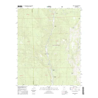 2017 Rosilla Peak2017 Print · USGSThe Pecos River valley and its mountain settlements are captured here in the late twenty-tens as they sit within the Santa Fe National Forest. Genealogists and hikers can trace remote landmarks like the El Macho Cem, Rosilla Peak, and the trailheads for the Red Fox Trl.
 - 2020 Map of Rosilla Peak, 2020 Print
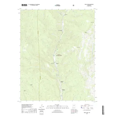 2020 Rosilla Peak2020 Print · USGSThe Pecos River corridor in San Miguel County comes into focus in this contemporary study of its mountain settlements and canyon topography. Genealogists and hikers can trace the geography around El Macho, Tererro, and the El Macho Cem.
 - 2023 Map of Rosilla Peak, 2023 Print
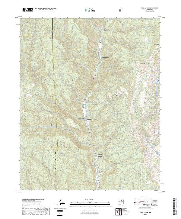 2023 Rosilla Peak2023 Print · USGSThe Pecos River valley in the early 2020s reveals a landscape of high mesas and riverside settlements. Genealogists and local historians can trace the locations of El Macho Cem, Tererro, and the distinct communities at Upper La Posada and Lower La Posada.
End of results
Showing maps 1-12 of 12
Top cities near Tres Lagunas
Frequently asked questions
- What are the different types of historical maps available for Tres Lagunas?
- What is the oldest map of Tres Lagunas?
- Where can I purchase historical maps of Tres Lagunas for my home or office?
- Where can I download high-res historical maps of Tres Lagunas?
- Are there historical topographic maps available for Tres Lagunas?
- Is there historical aerial imagery available for Tres Lagunas?
- Where are historical maps of Tres Lagunas sourced from?