
1961 Map of Rosilla Peak
USGS Topo · Published 1966About this map
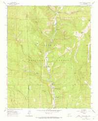
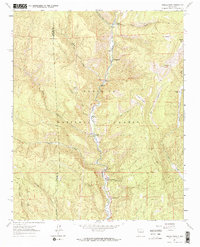
The Pecos River valley carves through the heart of the Santa Fe National Forest in this early 1960s survey of San Miguel County. This era shows a landscape where small mountain settlements and seasonal ranching sites like Terrero and the Martin Ranch were connected by winding roads and jeep trails. The presence of the Jones Mine tucked into the northern ridges and the identified El Macho (Site) provides a look at the historical industrial and residential footprint within the high country. High elevation landmarks including Rosilla Peak and the prominent Viveash Mesa overlook a network of deep drainage systems like Macho Canyon and Dalton Canyon. The map records the precise locations of riverside hamlets such as Upper La Posada and Lower La Posada, reflecting the localized habitation patterns along the river bottom before later 20th-century developments changed the character of these mountain outposts.
Find a feature on this map
27 named features on this map. Tap any name to fly to it.
Don’t see what you’re looking for? This feature index may not catch every label — zoom into the map to look around manually.
Map Details
Editions of this 1961 Rosilla Peak Map
3 editions found
Other maps of this area

1889 · Santa Fe
USGS Topo · 1:125,000

1894 · Santa Fe
USGS Topo · 1:125,000

1953 · Glorieta
USGS Topo · 1:24,000

1953 · Mc Clure Reservoir
USGS Topo · 1:24,000

1953 · Aspen Basin
USGS Topo · 1:24,000

1954 · Santa Fe
USGS Topo · 1:250,000

1958 · Santa Fe
USGS Topo · 1:250,000

1961 · Honey Boy Ranch
USGS Topo · 1:24,000
1961 · Pecos
USGS Topo · 1:24,000
1961 · Lower Colonias
USGS Topo · 1:24,000