
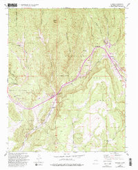
1953 Map of Glorieta
USGS Topo · Published 1955About this map
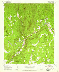
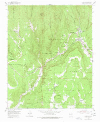
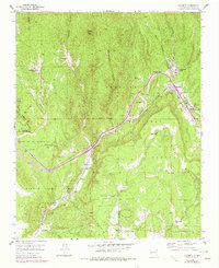
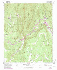
Glorieta Pass and the surrounding high country serve as a focal point for this 1953 survey, where transportation routes and historic land grants converge. The map documents the passage of the Atchison Topeka and Santa Fe railroad and the Pan American Highway through the mountain terrain, tracing the same corridors used by the older Santa Fe Trail. Historical land divisions remain prominent, including the Bishop John Lamy Grant and the Sebastian de Vargas Grant.
Find a feature on this map
37 named features on this map. Tap any name to fly to it.
Don’t see what you’re looking for? This feature index may not catch every label — zoom into the map to look around manually.
Map Details
Editions of this 1953 Glorieta Map
6 editions found
Other maps of this area

1889 · Santa Fe
USGS Topo · 1:125,000

1894 · Santa Fe
USGS Topo · 1:125,000

1894 · Lamy
USGS Topo · 1:125,000

1952 · Santa Fe
USGS Topo · 1:24,000

1952 · Seton Village
USGS Topo · 1:24,000

1953 · Mc Clure Reservoir
USGS Topo · 1:24,000

1954 · Santa Fe
USGS Topo · 1:250,000

1958 · Santa Fe
USGS Topo · 1:250,000
1961 · Santa Fe
USGS Topo · 1:24,000

1961 · Rosilla Peak
USGS Topo · 1:24,000