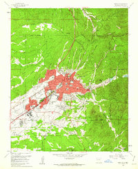
1961 Map of Santa Fe
USGS Topo · Published 1962About this map
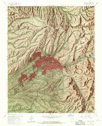
Santa Fe's historical core and mid-century expansion are documented here following aerial photography in 1960. The city's unique administrative and cultural character is evident in the cluster of civic landmarks including the State Capitol, the Governor's Mansion, and The Plaza. Educational and social institutions are prominent features, from the US Indian School and St Michaels College to the Museum of New Mexico.
Find a feature on this map
82 named features on this map. Tap any name to fly to it.
Don’t see what you’re looking for? This feature index may not catch every label — zoom into the map to look around manually.
Map Details
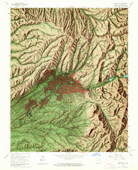
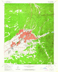
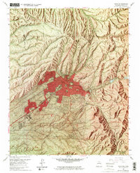
Editions of this 1961 Santa Fe Map
6 editions found
Other maps of this area

1889 · Santa Fe
USGS Topo · 1:125,000

1892 · Santa Clara
USGS Topo · 1:125,000

1894 · Santa Fe
USGS Topo · 1:125,000

1951 · Agua Fria
USGS Topo · 1:24,000

1951 · Turquoise Hill
USGS Topo · 1:24,000

1952 · Santa Fe
USGS Topo · 1:24,000

1952 · Turquoise Hill
USGS Topo · 1:24,000

1952 · Seton Village
USGS Topo · 1:24,000

1953 · Tesuque
USGS Topo · 1:24,000

1953 · Horcado Ranch
USGS Topo · 1:24,000