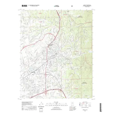
1961 Map of Santa Fe
USGS Topo · Published 1978About this map
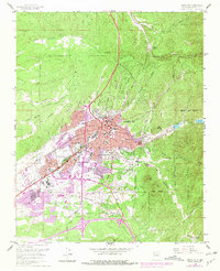
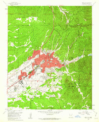
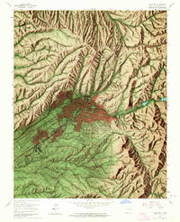
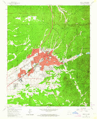
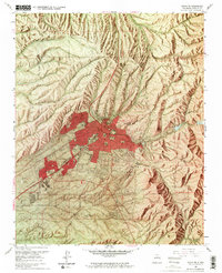
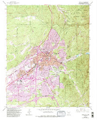
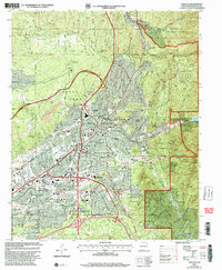
Santa Fe spreads across this mid-century survey, revealing a landscape where historic land grants and modern urban development meet. The city core is defined by institutional landmarks such as the State Capitol, the US Indian School, and the College of Santa Fe, while the Atchison Topeka and Santa Fe railroad tracks cut a diagonal path toward the southwest. The expansion of the city during the 1960s and 1970s is indicated by purple revisions, showing the growth of neighborhoods along Cerrillos Road and St Francis Drive. To the east, the terrain rises into the foothills of the Santa Fe National Forest, marked by Atalaya Mountain and the water source at Nichols Reservoir. This map preserves the locations of several community pillars, including the Rosario Cemetery, St Vincent Hospital, and the Navajo Museum of Ceremonial Art.
Find a feature on this map
69 named features on this map. Tap any name to fly to it.
Don’t see what you’re looking for? This feature index may not catch every label — zoom into the map to look around manually.
Map Details
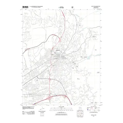
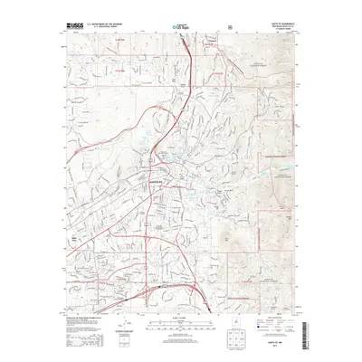
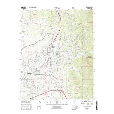
Editions of this 1961 Santa Fe Map
6 editions found

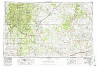
Historical Maps of Santa Fe Through Time
13 maps found

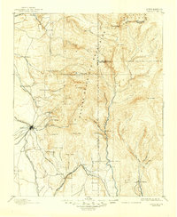
1889 Santa Fe
Santa Fe County, NM
1894 Santa Fe
Santa Fe County, NM
1952 Santa Fe
Santa Fe County, NM
1954 Santa Fe
Santa Fe County, NM

1958 Santa Fe
Santa Fe County, NM
1961 Santa Fe
Santa Fe County, NM

1983 Santa Fe
Santa Fe County, NM
2002 Santa Fe
Santa Fe County, NM
2011 Santa Fe
Santa Fe County, NM
2013 Santa Fe
Santa Fe County, NM
2017 Santa Fe
Santa Fe County, NM
2020 Santa Fe
Santa Fe County, NM
2023 Santa Fe
Santa Fe County, NM