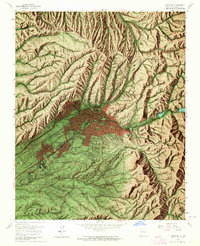
1961 Map of Santa Fe
USGS Topo · Published 1964About this map
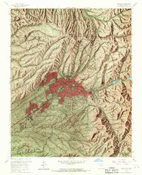
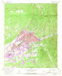
Santa Fe is depicted here during a period of mid-century expansion, centered at the base of the Santa Fe National Forest where the high desert meets the Sangre de Cristo foothills. The map reveals a dense concentration of civic and religious institutions, from the State Capitol and Federal Courthouse to the St Michaels College campus. Cultural landmarks like the Museum of International Folk Art and the Navajo Museum of Ceremonial Art anchor the southeastern heights near Tala Hill.
Find a feature on this map
70 named features on this map. Tap any name to fly to it.
Don’t see what you’re looking for? This feature index may not catch every label — zoom into the map to look around manually.
Map Details
Editions of this 1961 Santa Fe Map
6 editions found
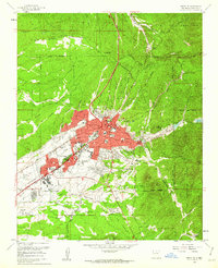
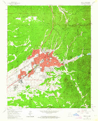
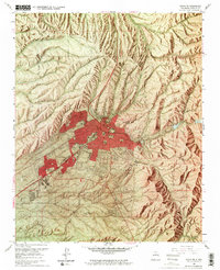
Other maps of this area

1889 · Santa Fe
USGS Topo · 1:125,000

1892 · Santa Clara
USGS Topo · 1:125,000

1894 · Santa Fe
USGS Topo · 1:125,000

1951 · Agua Fria
USGS Topo · 1:24,000

1951 · Turquoise Hill
USGS Topo · 1:24,000

1952 · Santa Fe
USGS Topo · 1:24,000

1952 · Turquoise Hill
USGS Topo · 1:24,000

1952 · Seton Village
USGS Topo · 1:24,000

1953 · Tesuque
USGS Topo · 1:24,000

1953 · Horcado Ranch
USGS Topo · 1:24,000