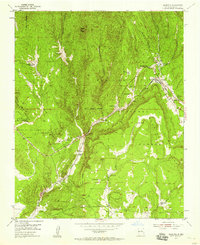
1953 Map of Glorieta
USGS Topo · Published 1959About this map
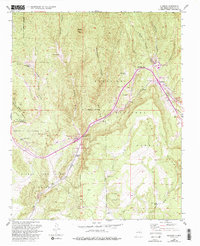
The Glorieta Pass corridor, a critical gateway through the Sangre de Cristo Mountains, serves as the centerpiece of this 1950s mapping. This landscape is defined by its deep historical layers, featuring the Glorieta Battlefield Site and the sprawling Bishop John Lamy Grant. The transportation network follows the natural terrain, with the Atchison Topeka and Santa Fe railroad and the Pan American Highway threading through the narrow pass alongside Galisteo Creek. This era shows a transition from traditional land grants and remote ranching outposts like Garcia Ranch and Loyd Ranch toward modern institutional presence, notably the Glorieta Baptist Assembly. Narrow canyons like Apache Canyon and Grasshopper Canyon cut through the Santa Fe National Forest, illustrating the topographic challenges faced by early travelers and railway engineers.
Find a feature on this map
34 named features on this map. Tap any name to fly to it.
Don’t see what you’re looking for? This feature index may not catch every label — zoom into the map to look around manually.
Map Details
Editions of this 1953 Glorieta Map
6 editions found
Other maps of this area

1889 · Santa Fe
USGS Topo · 1:125,000

1894 · Santa Fe
USGS Topo · 1:125,000

1894 · Lamy
USGS Topo · 1:125,000

1952 · Santa Fe
USGS Topo · 1:24,000

1952 · Seton Village
USGS Topo · 1:24,000

1953 · Glorieta
USGS Topo · 1:24,000

1953 · Mc Clure Reservoir
USGS Topo · 1:24,000

1954 · Santa Fe
USGS Topo · 1:250,000

1958 · Santa Fe
USGS Topo · 1:250,000
1961 · Santa Fe
USGS Topo · 1:24,000