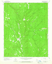
1961 Map of Lower Colonias
USGS Topo · Published 1966About this map
Lower Colonias (Pine PO) and Upper Colonias define the central valley of this 1961 survey, situated along the winding course of Cow Creek. This area of San Miguel County reflects a secluded ranching and rural post-office economy, where small settlements are connected by a network of unimproved roads and trails. The Santo Niño Cem serves as a significant genealogical marker for local families within the community.
Find a feature on this map
32 named features on this map. Tap any name to fly to it.
Don’t see what you’re looking for? This feature index may not catch every label — zoom into the map to look around manually.
Map Details
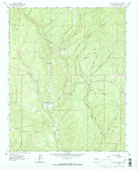
Editions of this 1961 Lower Colonias Map
2 editions found
Other maps of this area

1889 · Las Vegas
USGS Topo · 1:125,000

1889 · Santa Fe
USGS Topo · 1:125,000

1890 · Bernal
USGS Topo · 1:125,000

1891 · Bernal
USGS Topo · 1:125,000

1891 · Las Vegas
USGS Topo · 1:125,000

1893 · Las Vegas
USGS Topo · 1:125,000

1894 · Santa Fe
USGS Topo · 1:125,000

1894 · Bernal
USGS Topo · 1:125,000

1894 · Lamy
USGS Topo · 1:125,000

1954 · Santa Fe
USGS Topo · 1:250,000