2000s (21st Century) Maps of Algodones, New Mexico
Explore 22 historic maps of Algodones from the 2000s (21st Century). These maps offer a rare glimpse into what life looked like during the 2000s — showing old roads, neighborhoods, homes, and landmarks that have changed or disappeared over time.
Whether you're researching your family's past, planning a metal detecting trip, or studying how Algodones's landscape evolved across the 2000s, these high-resolution maps are a powerful tool for exploring the history of this region.
- Focus on a specific era: All maps on this page are from the 2000s, giving you a focused view of this time period.
- See what’s changed: Compare century-old streets, trails, and buildings to today's modern landscape using overlays and satellite layers.
- Research with precision: Use these maps for genealogy, historical research, land use analysis, or educational projects.
- View, download, or print: Maps are fully viewable online in high resolution, and can be downloaded or printed for your own records.
Start exploring Algodones's history through authentic maps from the 2000s. This is your window into the past.
Algodones, NM maps
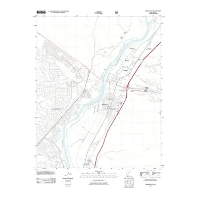
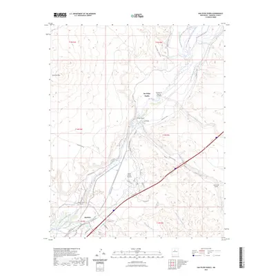
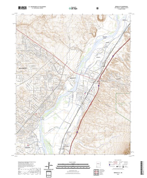
(22)- 2006 Map of Bernalillo, 2007 Print
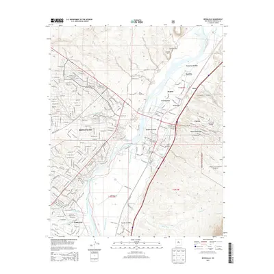
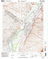 2006 Bernalillo2007 Print · USGSThe Middle Rio Grande Valley in the early 2000s shows a unique convergence of ancient Pueblo sites, Spanish land grants, and modern growth. Trace the historic Atchison Topeka and Santa Fe line or locate the Kuaua Ruins and Our Lady of Sorrows Ch.
 - 2006 Map of Placitas, 2007 Print
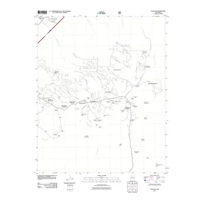
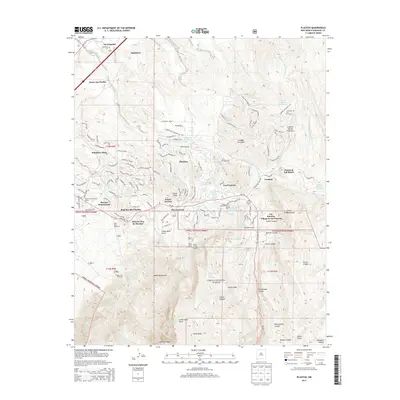
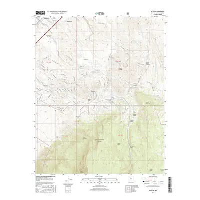
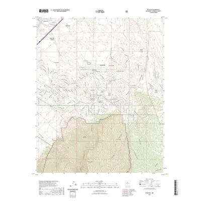
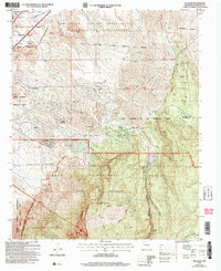 2006 Placitas2007 Print · USGSNear the turn of the twenty-first century, the foothills of the Sandia Mountains show a mix of ancient land grants and expanding high-desert communities. Trace the boundaries of the San Felipe Indian Reservation or locate historic landmarks like the Placitas Sch and Sandia Cave.
 - 2010 Map of Santa Ana Pueblo, 2010 Print
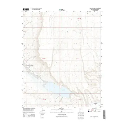
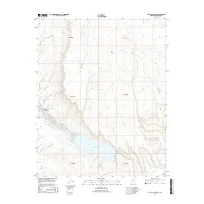
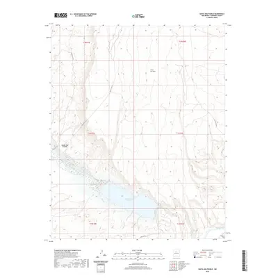
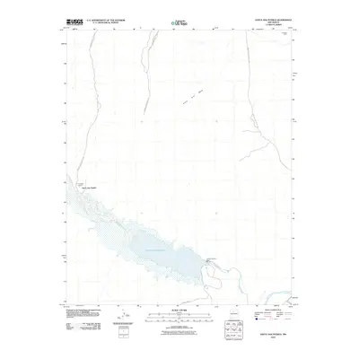 2010 Santa Ana Pueblo2010 Print · USGSCovers Algodones, including Santa Ana Pueblo, Sandoval County, and other nearby areas
 - 2010 Map of San Felipe Pueblo, 2010 Print
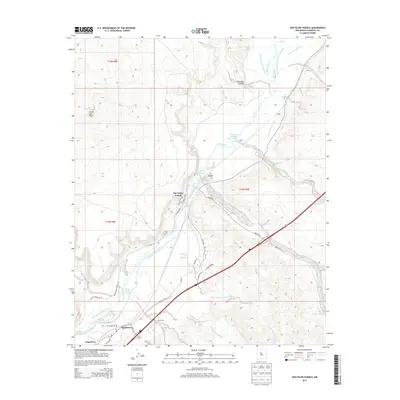
 2010 San Felipe Pueblo2010 Print · USGSCovers Algodones, including San Felipe Pueblo / Katishtya, Sandoval County, and other nearby areas
 - 2011 Map of Bernalillo, 2011 Print
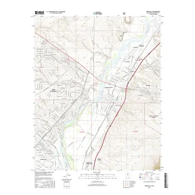
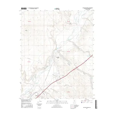
 2011 Bernalillo2011 Print · USGSCovers Algodones, including Rio Rancho, Bernalillo, and other nearby areas
 - 2011 Map of Placitas, 2011 Print
 2011 Placitas2011 Print · USGSCovers Algodones, including Puesta Del Sol, Sundance Mesa, and other nearby areas
 - 2013 Map of San Felipe Pueblo, 2013 Print
 2013 San Felipe Pueblo2013 Print · USGSCovers Algodones, including San Felipe Pueblo / Katishtya, Sandoval County, and other nearby areas
 - 2013 Map of Santa Ana Pueblo, 2013 Print
 2013 Santa Ana Pueblo2013 Print · USGSCovers Algodones, including Santa Ana Pueblo, Sandoval County, and other nearby areas
 - 2013 Map of Placitas, 2013 Print
 2013 Placitas2013 Print · USGSCovers Algodones, including Puesta Del Sol, Sundance Mesa, and other nearby areas
 - 2013 Map of Bernalillo, 2013 Print
 2013 Bernalillo2013 Print · USGSCovers Algodones, including Rio Rancho, Bernalillo, and other nearby areas
 - 2017 Map of Santa Ana Pueblo, 2017 Print
 2017 Santa Ana Pueblo2017 Print · USGSCovers Algodones, including Santa Ana Pueblo, Sandoval County, and other nearby areas
 - 2017 Map of Bernalillo, 2017 Print
 2017 Bernalillo2017 Print · USGSCovers Algodones, including Rio Rancho, Bernalillo, and other nearby areas
 - 2017 Map of San Felipe Pueblo, 2017 Print
 2017 San Felipe Pueblo2017 Print · USGSCovers Algodones, including San Felipe Pueblo / Katishtya, Sandoval County, and other nearby areas
 - 2017 Map of Placitas, 2017 Print
 2017 Placitas2017 Print · USGSCovers Algodones, including Puesta Del Sol, Sundance Mesa, and other nearby areas
 - 2020 Map of Santa Ana Pueblo, 2020 Print
 2020 Santa Ana Pueblo2020 Print · USGSCovers Algodones, including Santa Ana Pueblo, Sandoval County, and other nearby areas
 - 2020 Map of Placitas, 2020 Print
 2020 Placitas2020 Print · USGSCovers Algodones, including Puesta Del Sol, Sundance Mesa, and other nearby areas
 - 2020 Map of San Felipe Pueblo, 2020 Print
 2020 San Felipe Pueblo2020 Print · USGSCovers Algodones, including San Felipe Pueblo / Katishtya, Sandoval County, and other nearby areas
 - 2020 Map of Bernalillo, 2020 Print
 2020 Bernalillo2020 Print · USGSCovers Algodones, including Rio Rancho, Bernalillo, and other nearby areas
 - 2023 Map of Placitas, 2023 Print
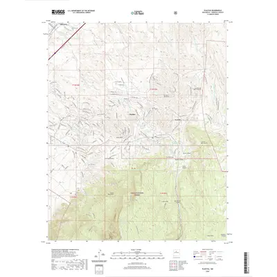
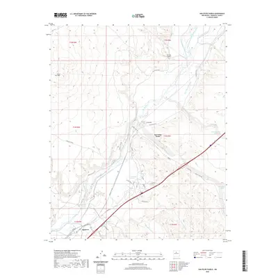
 2023 Placitas2023 Print · USGSSandoval County’s desert foothills and mountain wilderness are shown here in the 2020s, tracing the intersection of tribal lands and modern settlements. Researchers can locate burial grounds like the Placitas Cem and explore the rugged drainage of Apache Canyon or the Crest of Montezuma.
 - 2023 Map of Santa Ana Pueblo, 2023 Print
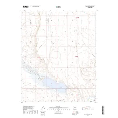 2023 Santa Ana Pueblo2023 Print · USGSThe confluence of the Rio Grande and Jemez River defines this Sandoval County landscape in the early 2020s. Trace the contemporary shoreline of the Jemez Canyon Reservoir and follow service roads like Indian Svc Rte 76 past the heights of Santa Ana Mesa.
 - 2023 Map of San Felipe Pueblo, 2023 Print
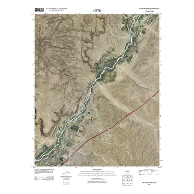
 2023 San Felipe Pueblo2023 Print · USGSThe Rio Grande valley in the 2020s reveals a landscape shaped by centuries of transit and irrigation between Santa Ana Mesa and the river. Genealogists and local historians can trace the path of El Camino Real and the intricate network of the San Felipe East Side Ditch near San Felipe Pueblo.
 - 2023 Map of Bernalillo, 2023 Print
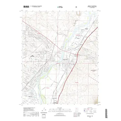
 2023 Bernalillo2023 Print · USGSBernalillo and the Rio Grande valley are shown here in recent years, documenting the enduring footprint of Santa Ana Pueblo and Sandia Pueblo. Researchers can trace the path of El Camino Real and locate local landmarks like Our Lady of Sorrows Cem and the Algodones Ditch.
End of results
Showing maps 1-22 of 22
Top cities near Algodones
- Albuquerque historical maps
- Rio Rancho historical maps
- Bernalillo historical maps
- Corrales historical maps
- Los Ranchos de Albuquerque historical maps
- Paradise Hills historical maps
See more
Top neighborhoods of Algodones
Frequently asked questions
- What are the different types of historical maps available for Algodones?
- What is the oldest map of Algodones?
- Where can I purchase historical maps of Algodones for my home or office?
- Where can I download high-res historical maps of Algodones?
- Are there historical topographic maps available for Algodones?
- Is there historical aerial imagery available for Algodones?
- Where are historical maps of Algodones sourced from?