Old Maps of Jemez Springs, New Mexico for Hiking & Exploration
Hike through history with 25 historic maps of Jemez Springs. Explore old trails, ghost towns, and forgotten backroads — perfect for outdoor adventurers and local explorers.
- Rediscover forgotten places: Map out old mining camps, roads, and footpaths that no longer exist on modern maps.
- Layer with modern tools: Combine with LiDAR or satellite views to plan hikes through historical terrain.
- Made for exploration: Popular among hikers, overlanders, and local history lovers.
Use these maps to find adventure and explore the hidden past of Jemez Springs.
Jemez Springs, NM maps
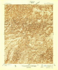
(25)- 1890 Map of Jemes
 1890 Jemes1890 Print · USGSUpper New Mexico in the late nineteenth century was a land of high mesas and ancient pueblo sites along the Jemes Creek drainage. Researchers can trace the early layout of Jemes Pueblo, the location of the San Miguel Mine, and traditional springs like Ojo del Oso.2 unique versions available
 - 1892 Map of Jemes
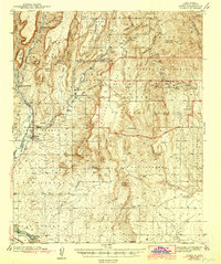
 1892 Jemes1892 Print · USGSThe high canyons and pueblos of northern New Mexico are documented here in the late 1880s, shortly after the region's territorial reorganization. Researchers can trace the early footprint of Jemes Pueblo, locate the San Miguel Mine, and identify remote springs like Ojo del Espiritu Santo.4 unique versions available
 - 1937 Map of Jemez Springs
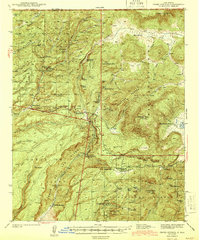
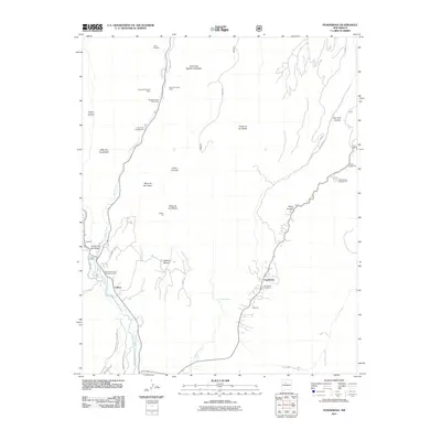
 1937 Jemez Springs1937 Print · USGSThe Jemez Mountains in the late thirties were a landscape of geothermal activity and sprawling land grants. Researchers can trace historic family outposts like Boyd Ranch and Ruiz Ranch or locate New Deal-era sites such as the CCC Camp.
 - 1943 Map of Jemez
 1943 Jemez1943 Print · USGSSandoval County at the end of the 1930s shows a landscape of expansive pueblo grants and former rail corridors. You can trace the Santa Fe Northwestern (RR Abandoned) line and locate the Paliza C C C Camp and Spanish Queen Mine.4 unique versions available
 - 1944 Map of Jemez Springs
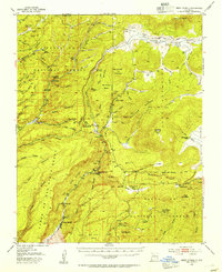
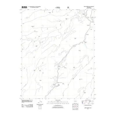
 1944 Jemez Springs1944 Print · USGSThe Jemez Mountains and Sandoval County hinterlands in the late thirties show a rugged landscape of geothermal springs and Civilian Conservation Corps projects. Researchers can trace historic family holdings like Martinez Ranch or visit the Battleship Rock CCC Camp and Sulphur Springs.3 unique versions available
 - 1952 Map of Jemez Springs, 1954 Print
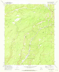
 1952 Jemez Springs1954 Print · USGSThe Jemez Mountains in the early fifties reveal a landscape of thermal springs and high-altitude ranching within the national forest. Trace the development of local landmarks like Jemez Springs, the Soda Dam, and the early layout of Camp Shaver.3 unique versions available
 - 1952 Map of Jemez, 1962 Print
 1952 Jemez1962 Print · USGSSandoval County's canyon lands and pueblo grants are captured here during the early fifties, showing a transition from traditional land use to modern forestry and mining. Genealogists and historians can trace the foundations of Jemez Pueblo, the Spanish Queen Mine, and the route of the Bland Bear Springs Trail.
 - 1958 Map of Albuquerque
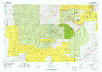
 1958 Albuquerque1958 Print · USGSAlbuquerque and the surrounding high desert are captured here during a period of massive federal expansion and postwar growth. Researchers can trace the development of Kirtland Air Force Base, find ancestral homes in Pueblo de Santa Ana, or locate industrial sites like the Jackpile Mine.
 - 1962 Map of Albuquerque
 1962 Albuquerque1962 Print · USGSAlbuquerque and the surrounding high desert are captured here in the early 1960s during a period of intense mineral and military growth. Genealogists and historians can locate early schools like the Pueblo Pintado School, major industrial sites like the Jackpile Mine, and the sprawling Kirtland Air Force Base.
 - 1963 Map of Albuquerque, 1965 Print
 1963 Albuquerque1965 Print · USGSMid-century New Mexico unfolds across this map, showcasing the intersection of ancient pueblos, modern military bases, and historic mining districts. Trace family roots and local history through the Ortiz Mine, Seven Lakes Trading Post, and Alameda.3 unique versions available
 - 1970 Map of Ponderosa, 1973 Print
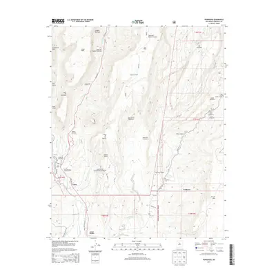
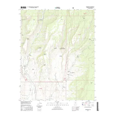
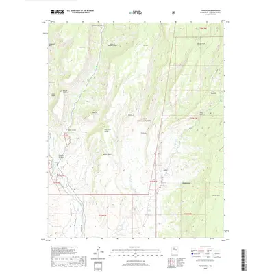
 1970 Ponderosa1973 Print · USGSThe high mesas of Sandoval County come alive in this early 1970s survey, showing a landscape shaped by canyon-floor villages and ancient heights. Researchers can trace the cultural history of Ponderosa and Cañon through landmarks like Santo Toribio Ch and the Spanish Queen Mine.2 unique versions available
 - 1970 Map of Jemez Springs, 1973 Print
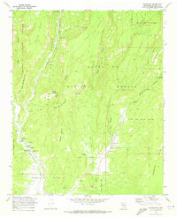
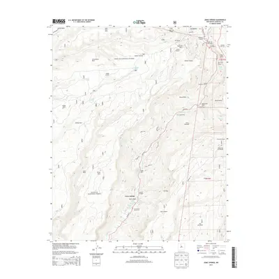
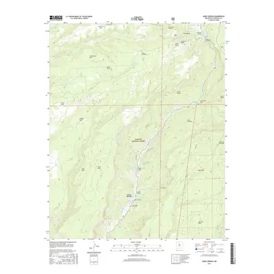
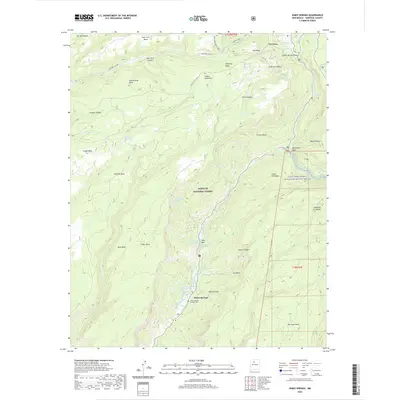
 1970 Jemez Springs1973 Print · USGSIn the 1970s, Jemez Springs was already a gateway to the high mesas and deep canyons of the Jemez Mountains. Researchers can trace historic sites like the Via Coeli Monastery, old Ruins, and landmarks like Soda Dam.3 unique versions available
 - 1978 Map of Los Alamos
 1978 Los Alamos1978 Print · USGSThe Jemez Mountains and Rio Grande valley come together in the late seventies, showing a land defined by volcanic peaks and ancient pueblos. Trace the footprints of Bandelier National Monument, find the rail line of the Atchison Topeka and Santa Fe, and locate historic settlements like Jemez Pueblo.
 - 1983 Map of Albuquerque, 1984 Print
 1983 Albuquerque1984 Print · USGSCentral New Mexico in the early eighties shows a landscape where ancient pueblos and modern aerospace hubs meet. Trace the routes of the Atchison Topeka and Santa Fe RR or locate landmarks like Kirtland Air Force Base, Madrid, and the Sandia Mountains.
 - 2002 Map of Jemez Springs, 2003 Print
 2002 Jemez Springs2003 Print · USGSThe Jemez Mountains near the turn of the millennium reveal a landscape of deep canyons and volcanic mesas centered on Jemez Springs. Researchers can locate specific sites including the State Monument, the Soda Dam, and various thermal features like Spence Hot Sprs.
 - 2011 Map of Ponderosa, 2011 Print
 2011 Ponderosa2011 Print · USGSCovers Jemez Springs, including Ponderosa, Cañon, and other nearby areas
 - 2011 Map of Jemez Springs, 2011 Print
 2011 Jemez Springs2011 Print · USGSCovers Jemez Springs, including La Cueva, Sandoval County, and other nearby areas
 - 2013 Map of Jemez Springs, 2013 Print
 2013 Jemez Springs2013 Print · USGSCovers Jemez Springs, including La Cueva, Sandoval County, and other nearby areas
 - 2013 Map of Ponderosa, 2013 Print
 2013 Ponderosa2013 Print · USGSCovers Jemez Springs, including Ponderosa, Cañon, and other nearby areas
 - 2017 Map of Jemez Springs, 2017 Print
 2017 Jemez Springs2017 Print · USGSCovers Jemez Springs, including La Cueva, Sandoval County, and other nearby areas
 - 2017 Map of Ponderosa, 2017 Print
 2017 Ponderosa2017 Print · USGSCovers Jemez Springs, including Ponderosa, Cañon, and other nearby areas
 - 2020 Map of Jemez Springs, 2020 Print
 2020 Jemez Springs2020 Print · USGSCovers Jemez Springs, including La Cueva, Sandoval County, and other nearby areas
 - 2020 Map of Ponderosa, 2020 Print
 2020 Ponderosa2020 Print · USGSCovers Jemez Springs, including Ponderosa, Cañon, and other nearby areas
 - 2023 Map of Jemez Springs, 2023 Print
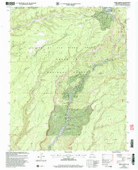
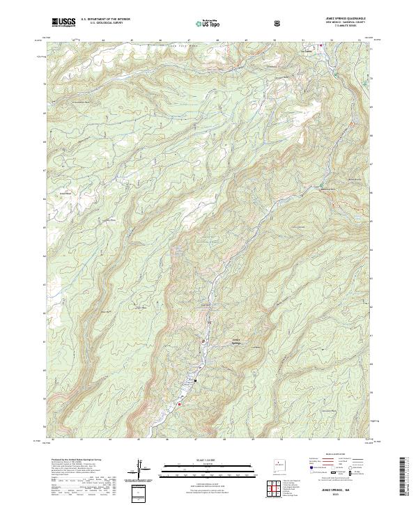 2023 Jemez Springs2023 Print · USGSJemez Springs and the surrounding canyonlands are documented here in the early twenty-first century, showing a landscape defined by thermal waters and high mesas. Researchers can locate the Catholic Cem, trace the waters of Sulphur Creek, and identify landmarks like Battleship Rock.
 - 2023 Map of Ponderosa, 2023 Print
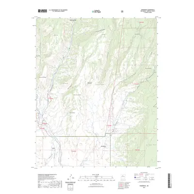 2023 Ponderosa2023 Print · USGSThe high mesa and canyon country of Sandoval County are documented here in recent detail. Researchers can trace local heritage at Ponderosa Cem or follow historical irrigation routes along the Cañones Community Ditch and Vallecito Creek.
End of results
Showing maps 1-25 of 25
Top cities near Jemez Springs
Frequently asked questions
- What are the different types of historical maps available for Jemez Springs?
- What is the oldest map of Jemez Springs?
- Where can I purchase historical maps of Jemez Springs for my home or office?
- Where can I download high-res historical maps of Jemez Springs?
- Are there historical topographic maps available for Jemez Springs?
- Is there historical aerial imagery available for Jemez Springs?
- Where are historical maps of Jemez Springs sourced from?