
1892 Map of Jemes
USGS Topo · Published 1892About this map
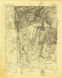
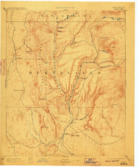
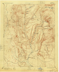
Jemes Pueblo and the surrounding high desert canyonlands are detailed in this late 19th-century survey, conducted during the directorship of J.W. Powell. The landscape is dominated by the dramatic uplift of the Sierra Nacimiento and the deep incisions of Cañon de Guadalupe and Canyon San Diego. These waterways, including Jemes Creek, provide the vital lifelines for ancient and contemporary settlements alike, from the remote Silla and San Ysidro to the high-elevation reach of Sulphur Springs.
Find a feature on this map
30 named features on this map. Tap any name to fly to it.
Don’t see what you’re looking for? This feature index may not catch every label — zoom into the map to look around manually.
Map Details
Editions of this 1892 Jemes Map
4 editions found
Other maps of this area

1883 · Mt. Taylor
USGS Topo · 1:250,000

1886 · Mt. Taylor
USGS Topo · 1:250,000

1888 · Bernalillo
USGS Topo · 1:125,000

1889 · Albuquerque
USGS Topo · 1:125,000

1889 · Largo
USGS Topo · 1:250,000

1890 · Jemes
USGS Topo · 1:125,000

1892 · San Pedro
USGS Topo · 1:125,000

1892 · Santa Clara
USGS Topo · 1:125,000

1892 · Mt. Taylor
USGS Topo · 1:250,000

1893 · Albuquerque
USGS Topo · 1:125,000