Old Maps of Regina, New Mexico for Metal Detecting
Plan your next treasure hunt with 14 historic maps of Regina. Find old homesites, ghost towns, trails, and gathering spots that may be lost to time — perfect for identifying promising metal detecting locations.
- Locate forgotten sites: Uncover places like long-lost settlements, abandoned rail lines, or gathering spots.
- Plan better hunts: Use map overlays combined with LiDAR or satellite views to narrow in on historically rich areas.
- Made for detectorists: Thousands of hobbyists use these maps to discover relics, coins, and hidden history.
Use these historic maps to boost your research and find new opportunities beneath the surface of Regina.
Regina, NM maps
(14)- 1909 Map of Gallina
 1909 Gallina1909 Print · USGSUpper New Mexico at the end of the territorial era is captured here, showing the remote ranching and mining country along the Continental Divide. Genealogists and historians can locate early homesteads like Hart Ranch, the mining-era Copper City, and ancient Cliff Dwellings.2 unique versions available
 - 1940 Map of Cuba, 1962 Print
 1940 Cuba1962 Print · USGSNorthwestern New Mexico’s high country is captured here just before the mid-century, where the Santa Fe National Forest meets early ranching outposts. Researchers can trace ancestral locations at the Gallina Cem, Capulin Sch, and remote sites like Old Mestas Ranch.2 unique versions available
 - 1943 Map of Cuba
 1943 Cuba1943 Print · USGSIn the Sandoval County high country during the early 1940s, ranching outposts and small mountain settlements were the heart of the community. You can trace the locations of historic rural education sites like La Jara Sch and find family landmarks such as Old Meatas Ranch and Vallecito Damian.2 unique versions available
 - 1954 Map of Aztec, 1975 Print
 1954 Aztec1975 Print · USGSNorthern New Mexico and southern Colorado come alive in the mid-1950s, showing the high-country settlements and tribal lands of the San Juan Basin. Genealogists and historians can trace the path of the Denver & Rio Grande Western RR and locate communities like Abiquiu, Park View, and Lumberton.4 unique versions available
 - 1958 Map of Aztec
 1958 Aztec1958 Print · USGSNorthern New Mexico and the southern Colorado border are captured here during the mid-fifties, showing the rugged intersection of national forests and tribal lands. Researchers can trace the Denver and Rio Grande Western rail line and locate remote outposts like Blanco Trading Post or Sargent Ranch.
 - 1962 Map of Aztec
 1962 Aztec1962 Print · USGSNorthwestern New Mexico in the early sixties showcases a landscape defined by the arrival of the Navajo Reservoir and the high-altitude timber of the Carson National Forest. Trace the path of the Denver & Rio Grande Western RR or locate historic settlements like Tierra Amarilla and Gobernador.
 - 1963 Map of Regina, 1966 Print
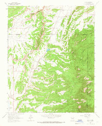 1963 Regina1966 Print · USGSRegina and the high country of the San Pedro Mountains are captured here in the mid-1960s as energy exploration expanded across the Continental Divide. Researchers can locate remote Gas Wells, trace the Jicarilla Apache Indian Reservation Boundary, or find the Regina Cem.
 - 1965 Map of Aztec
 1965 Aztec1965 Print · USGSNorthern New Mexico and southern Colorado come alive in the mid-sixties, from the San Juan Basin to the high Jemez Mountains. Trace the narrow-gauge Denver & Rio Grande Western RR through Monero or locate old outposts like Blanco Trading Post.
 - 2002 Map of Regina, 2003 Print
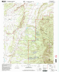 2002 Regina2003 Print · USGSRegina and the high country of the Sandoval County line are captured here just after the turn of the millennium. Genealogists and local historians can trace the community around the Regina Cem, the site of the Drive-in Theater, and the border of the Jicarilla Apache Indian Reservation.
 - 2011 Map of Regina, 2011 Print
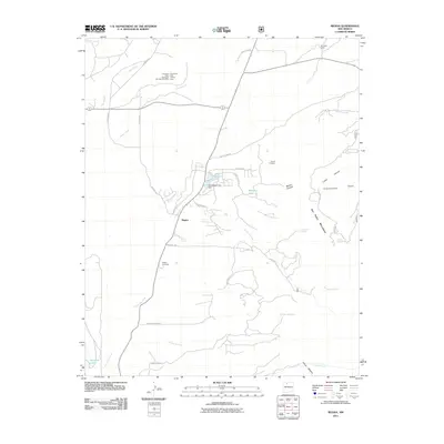 2011 Regina2011 Print · USGSRegina and the high foothills of the San Pedro Mountains are captured here in the early twenty-first century. Genealogists and historians can locate the Regina Cemetery and trace old resource sites like the American Mine Number Nine and Sta-Tex Venture Mine.
 - 2013 Map of Regina, 2013 Print
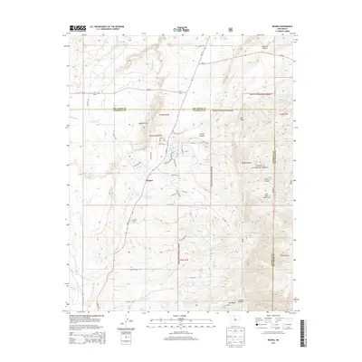 2013 Regina2013 Print · USGSHigh desert plateaus and forest boundaries meet in New Mexico’s high country in the early twenty-first century. Genealogists and researchers can trace the rural layouts of Regina and La Jara or locate family sites at the Regina Cemetery and Hatch Lake.
 - 2017 Map of Regina, 2017 Print
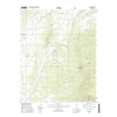 2017 Regina2017 Print · USGSRegina and the southern San Pedro Mountains are captured here in the late twenty-teens, showing the remote ranching and forest lands of Sandoval County. Genealogists and researchers can locate the Regina Cem and trace seasonal water sources like Hatch Lake or La Jara Ranch Spring.
 - 2020 Map of Regina, 2020 Print
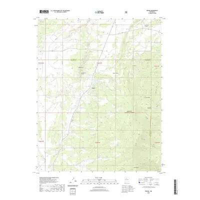 2020 Regina2020 Print · USGSThe high-country terrain of northern New Mexico is documented here in 2020, focusing on the Regina area. Genealogists and researchers can trace local landmarks like Regina Cem and Regina Store Spring along the edges of the SANTA FE NATIONAL FOREST.
 - 2023 Map of Regina, 2023 Print
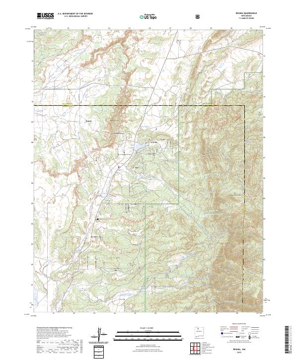 2023 Regina2023 Print · USGSRegina and the high country of the Continental Divide are captured here in the early twenty-first century. Researchers can trace the layout of the Regina Cem and local water sources like Hatch Lake or the Regina Store Spring.
End of results
Showing maps 1-14 of 14
Top cities near Regina
Frequently asked questions
- What are the different types of historical maps available for Regina?
- What is the oldest map of Regina?
- Where can I purchase historical maps of Regina for my home or office?
- Where can I download high-res historical maps of Regina?
- Are there historical topographic maps available for Regina?
- Is there historical aerial imagery available for Regina?
- Where are historical maps of Regina sourced from?