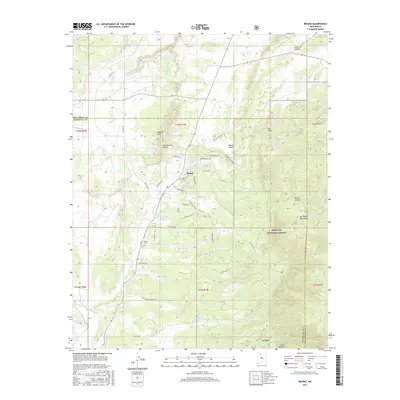
2017 Map of Regina
USGS Topo · Published 2017About this map
Regina serves as the primary settlement in this high-altitude landscape where the Continental Divide winds through the Badland Hills. This 2017 study illustrates the intersection of small northern New Mexico communities and the surrounding Santa Fe National Forest. To the south, the village of La Jara and the small cluster at Cahon Madera sit at the base of the San Pedro Mountains, highlighting a settlement pattern defined by proximity to water sources like La Jara Cr and Salado Cr.
Find a feature on this map
59 named features on this map. Tap any name to fly to it.
Don’t see what you’re looking for? This feature index may not catch every label — zoom into the map to look around manually.
Map Details
Editions of this 2017 Regina Map
This is the sole edition of this map. No revisions or reprints were ever made.
Other maps of this area

1889 · Largo
USGS Topo · 1:250,000

1895 · Largo
USGS Topo · 1:250,000

1909 · Gallina
USGS Topo · 1:125,000

1940 · Cuba
USGS Topo · 1:62,500

1943 · Cuba
USGS Topo · 1:62,500

1954 · Aztec
USGS Topo · 1:250,000

1955 · Llaves
USGS Topo · 1:62,500

1958 · Aztec
USGS Topo · 1:250,000

1962 · Aztec
USGS Topo · 1:250,000

1963 · Lindrith
USGS Topo · 1:24,000