2000s (21st Century) Maps of Santa Fe, New Mexico
Explore 30 historic maps of Santa Fe from the 2000s (21st Century). These maps offer a rare glimpse into what life looked like during the 2000s — showing old roads, neighborhoods, homes, and landmarks that have changed or disappeared over time.
Whether you're researching your family's past, planning a metal detecting trip, or studying how Santa Fe's landscape evolved across the 2000s, these high-resolution maps are a powerful tool for exploring the history of this region.
- Focus on a specific era: All maps on this page are from the 2000s, giving you a focused view of this time period.
- See what’s changed: Compare century-old streets, trails, and buildings to today's modern landscape using overlays and satellite layers.
- Research with precision: Use these maps for genealogy, historical research, land use analysis, or educational projects.
- View, download, or print: Maps are fully viewable online in high resolution, and can be downloaded or printed for your own records.
Start exploring Santa Fe's history through authentic maps from the 2000s. This is your window into the past.
Santa Fe, NM maps
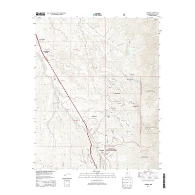
(30)- 2002 Map of Santa Fe, 2003 Print
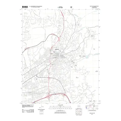
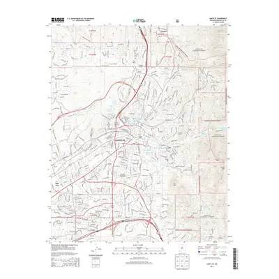
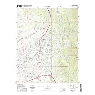
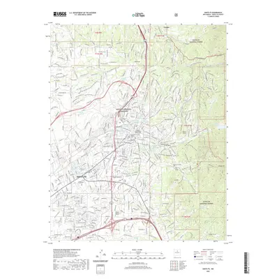
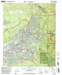 2002 Santa Fe2003 Print · USGSSanta Fe at the turn of the twenty-first century shows a city shaped by its high-desert topography and civic importance. Researchers can trace the layout of the State Capital and institutional sites like the Santa Fe National Cemetery or the Museum of International Folk Art.
 - 2002 Map of Tesuque, 2003 Print
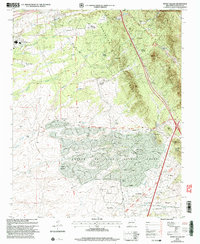
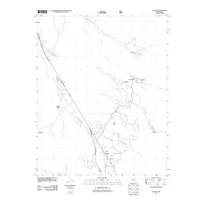
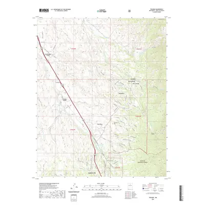
 2002 Tesuque2003 Print · USGSTraditional Pueblo lands and historic Spanish grants meet in this northern New Mexico region at the turn of the millennium. Researchers can trace community landmarks like San Diego Ch, the Tesuque Pueblo Day School, and the iconic Camel Rock.
 - 2002 Map of Turquoise Hill, 2003 Print
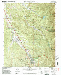
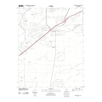
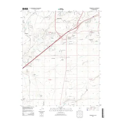
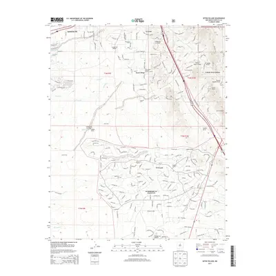
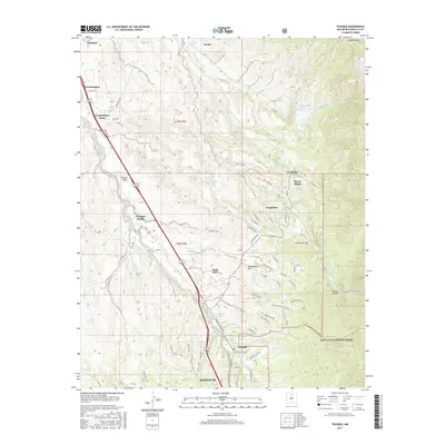
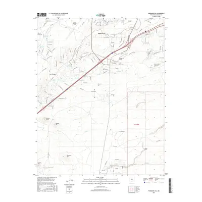
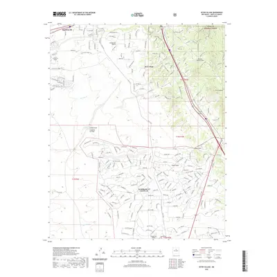
 2002 Turquoise Hill2003 Print · USGSSanta Fe's southern outskirts show a mix of historical preservation and modern expansion at the turn of the millennium. Researchers can locate the Marshal Bonanza Mine, the El Rancho de las Golondrinas Museum, and the Institute of American Indian Arts.
 - 2002 Map of Seton Village, 2003 Print
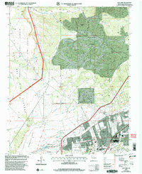
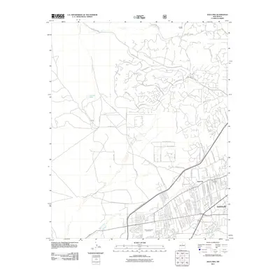
 2002 Seton Village2003 Print · USGSSoutheast of Santa Fe at the turn of the millennium, this area shows a landscape defined by historic land grants and growing residential pockets. Researchers can trace the legacy of the Santa Fe Trail and the AT & SF RR alongside settlements like Seton Village and Eldorado.
 - 2002 Map of Agua Fria, 2003 Print
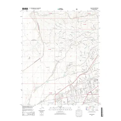
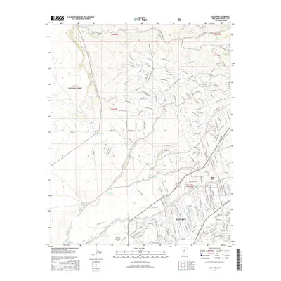
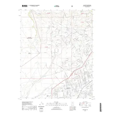
 2002 Agua Fria2003 Print · USGSSanta Fe and its western ranchlands are shown during a period of modern expansion at the turn of the millennium. Researchers can trace the heritage of Agua Fria (Historic) near the San Isidro Cem and the Caja Del Rio Grant.
 - 2010 Map of Turquoise Hill, 2010 Print
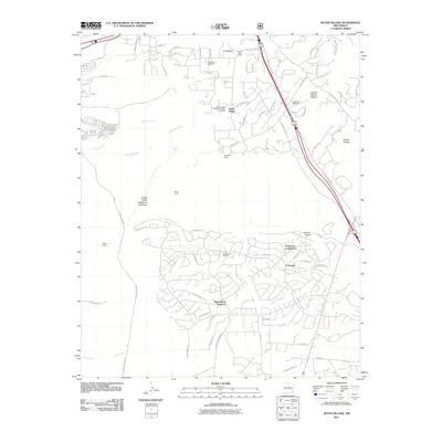
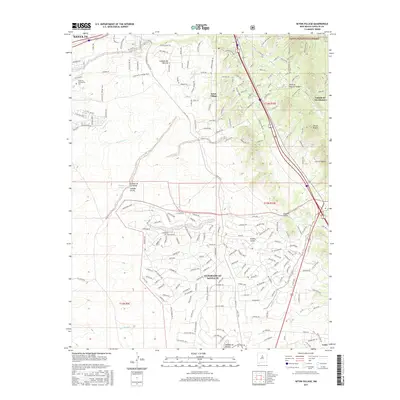
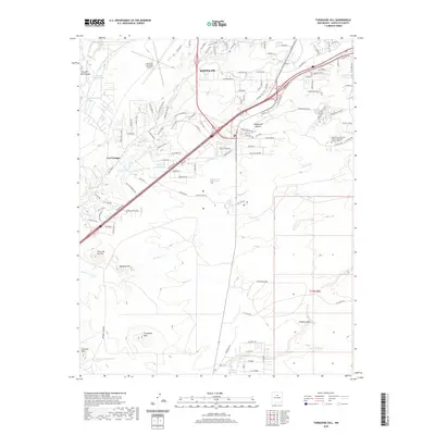
 2010 Turquoise Hill2010 Print · USGSCovers Santa Fe, including Cieneguilla, Rancho Viejo, and other nearby areas
 - 2011 Map of Seton Village, 2011 Print
 2011 Seton Village2011 Print · USGSCovers Santa Fe, including La Loma, Seton Village, and other nearby areas
 - 2011 Map of Santa Fe, 2011 Print
 2011 Santa Fe2011 Print · USGSCovers Santa Fe, including Santa Fe County, United States, and other nearby areas
 - 2011 Map of Tesuque, 2011 Print
 2011 Tesuque2011 Print · USGSCovers Santa Fe, including Rio En Medio`, Tesuque, and other nearby areas
 - 2011 Map of Agua Fria, 2011 Print
 2011 Agua Fria2011 Print · USGSCovers Santa Fe, including Agua Fria, Santa Fe County, and other nearby areas
 - 2013 Map of Santa Fe, 2013 Print
 2013 Santa Fe2013 Print · USGSCovers Santa Fe, including Santa Fe County, United States, and other nearby areas
 - 2013 Map of Turquoise Hill, 2013 Print
 2013 Turquoise Hill2013 Print · USGSCovers Santa Fe, including Cieneguilla, Rancho Viejo, and other nearby areas
 - 2013 Map of Agua Fria, 2013 Print
 2013 Agua Fria2013 Print · USGSCovers Santa Fe, including Agua Fria, Santa Fe County, and other nearby areas
 - 2013 Map of Tesuque, 2013 Print
 2013 Tesuque2013 Print · USGSCovers Santa Fe, including Rio En Medio`, Tesuque, and other nearby areas
 - 2013 Map of Seton Village, 2013 Print
 2013 Seton Village2013 Print · USGSCovers Santa Fe, including La Loma, Seton Village, and other nearby areas
 - 2017 Map of Seton Village, 2017 Print
 2017 Seton Village2017 Print · USGSCovers Santa Fe, including La Loma, Seton Village, and other nearby areas
 - 2017 Map of Agua Fria, 2017 Print
 2017 Agua Fria2017 Print · USGSCovers Santa Fe, including Agua Fria, Santa Fe County, and other nearby areas
 - 2017 Map of Tesuque, 2017 Print
 2017 Tesuque2017 Print · USGSCovers Santa Fe, including Rio En Medio`, Tesuque, and other nearby areas
 - 2017 Map of Turquoise Hill, 2017 Print
 2017 Turquoise Hill2017 Print · USGSCovers Santa Fe, including Cieneguilla, Rancho Viejo, and other nearby areas
 - 2017 Map of Santa Fe, 2017 Print
 2017 Santa Fe2017 Print · USGSCovers Santa Fe, including Santa Fe County, United States, and other nearby areas
 - 2020 Map of Agua Fria, 2020 Print
 2020 Agua Fria2020 Print · USGSCovers Santa Fe, including Agua Fria, Santa Fe County, and other nearby areas
 - 2020 Map of Seton Village, 2020 Print
 2020 Seton Village2020 Print · USGSCovers Santa Fe, including La Loma, Seton Village, and other nearby areas
 - 2020 Map of Santa Fe, 2020 Print
 2020 Santa Fe2020 Print · USGSCovers Santa Fe, including Santa Fe County, United States, and other nearby areas
 - 2020 Map of Tesuque, 2020 Print
 2020 Tesuque2020 Print · USGSCovers Santa Fe, including Rio En Medio`, Tesuque, and other nearby areas
 - 2020 Map of Turquoise Hill, 2020 Print
 2020 Turquoise Hill2020 Print · USGSCovers Santa Fe, including Cieneguilla, Rancho Viejo, and other nearby areas
Showing maps 1-25 of 30
Top cities near Santa Fe
Top neighborhoods of Santa Fe
- The Quad historical maps
- Las Qunitas de San Marcos historical maps
- Old Las Vegas Place historical maps
- Old Las Vegas Place historical maps
- Old Las Vegas Place historical maps
- Parkhill Condominiums historical maps
See more
Frequently asked questions
- What are the different types of historical maps available for Santa Fe?
- What is the oldest map of Santa Fe?
- Where can I purchase historical maps of Santa Fe for my home or office?
- Where can I download high-res historical maps of Santa Fe?
- Are there historical topographic maps available for Santa Fe?
- Is there historical aerial imagery available for Santa Fe?
- Where are historical maps of Santa Fe sourced from?