Old Maps of Plymouth, New York for Hiking & Exploration
Hike through history with 36 historic maps of Plymouth. Explore old trails, ghost towns, and forgotten backroads — perfect for outdoor adventurers and local explorers.
- Rediscover forgotten places: Map out old mining camps, roads, and footpaths that no longer exist on modern maps.
- Layer with modern tools: Combine with LiDAR or satellite views to plan hikes through historical terrain.
- Made for exploration: Popular among hikers, overlanders, and local history lovers.
Use these maps to find adventure and explore the hidden past of Plymouth.
Plymouth, NY maps
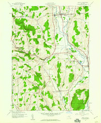
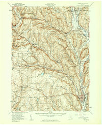
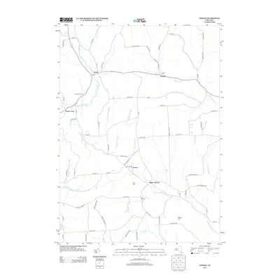
(36)- 1903 Map of Norwich
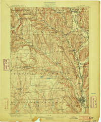 1903 Norwich1903 Print · USGSChenango County at the dawn of the twentieth century was defined by the busy river valleys and rail lines connecting Norwich to Earlville. Researchers can trace the path of the N. Y. O. & W. R. R. through Sherburne Four Corners or locate family-named sites like Irelands Mills and Woods Corners.5 unique versions available
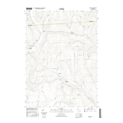
 - 1943 Map of Otselic, 1954 Print
 1943 Otselic1954 Print · USGSChenango County hills and valleys are captured here during the 1940s, showing a landscape of upland farms and remote school districts. Genealogists can trace family footprints near Maple Grove Cem or through small crossroads like Stanbro and Bonney.3 unique versions available
 - 1943 Map of Norwich, 1960 Print
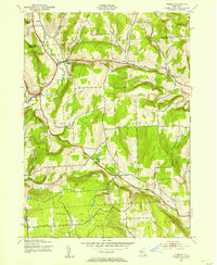
 1943 Norwich1960 Print · USGSChenango County enters the mid-century as a hub of river-valley transport and upland farming, captured here just as the local rail network remained a fixture. Researchers can trace family plots at Packer-Mason Cem, locate the former County Home, or follow the New York Ontario and Western line through North Norwich.2 unique versions available
 - 1943 Map of East Pharsalia, 1960 Print
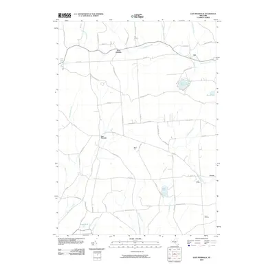
 1943 East Pharsalia1960 Print · USGSChenango County's rural townships are shown here during the early war years, when small settlements and upland farms defined the landscape. Genealogists can trace family connections through local landmarks like Frink Cem, Rogers Cem, and various district schools like School No 10.3 unique versions available
 - 1943 Map of Earlville, 1960 Print
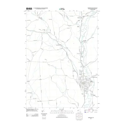
 1943 Earlville1960 Print · USGSChenango and Madison counties are captured here during the mid-forties, showing the vital rail corridor through the Chenango River valley. Genealogists can trace family names and rural locations like Smyrna, Quaker Cem, and the abandoned path of the Chenango Canal.2 unique versions available
 - 1943 Map of Norwich, 1975 Print
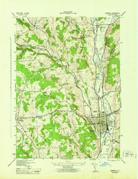
 1943 Norwich1975 Print · USGSChenango County and the Chenango River valley are captured here in the 1940s, a time when rail travel still defined the region's economy. Genealogists can trace family names through dozens of rural landmarks, including Maple Grove Cem, Quaker Ch, and numerous numbered schoolhouses like School No 12.
 - 1944 Map of Earlville
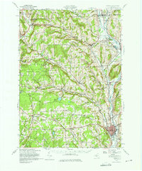
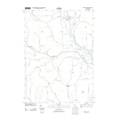
 1944 Earlville1944 Print · USGSChenango County's river valley and uplands are captured during the mid-forties as a landscape of rail-connected villages and small rural school districts. Genealogists can locate family landmarks like Wilcox Cem, tracing the paths between Earlville, Smyrna, and the Rogers State Game Farm.
 - 1944 Map of Norwich
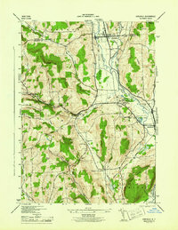
 1944 Norwich1944 Print · USGSThe Chenango River valley in the 1940s was a critical rail corridor defined by the crossing of the New York Ontario and Western RR. Researchers can trace old family burial grounds like Harris Cem and identify numerous rural school sites from South Plymouth to Polkville.2 unique versions available
 - 1944 Map of Otselic
 1944 Otselic1944 Print · USGSThe Otselic River valley and the highlands of Chenango County are captured here in the mid-1940s, showing a landscape of small hill farms and dispersed school districts. Researchers can pinpoint family homesteads near Otselic Center, Beaver Meadow, and the Maple Grove Cem.
 - 1944 Map of East Pharsalia
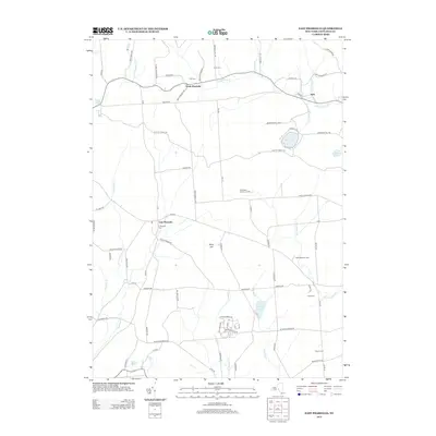
 1944 East Pharsalia1944 Print · USGSChenango County's upland hamlets and state conservation lands are shown here in the mid-1940s. Researchers can trace rural school districts and family burial sites like Frink Cem or explore the early bounds of the Pharsalia Game Refuge.
 - 1944 Map of Norwich, 1960 Print
 1944 Norwich1960 Print · USGSChenango County communities thrive along the river and rail lines during the mid-forties. Genealogists can locate family sites near Otselic Church, Preston Center, and several rural burial grounds like Slater Cem.2 unique versions available
 - 1948 Map of Binghamton, 1980 Print
 1948 Binghamton1980 Print · USGSCentral New York and the Southern Tier thrive in the late 1940s as a hub of rail traffic and mountain industry. Researchers can trace historic transit lines like the Erie Railroad through Binghamton or find old valley settlements near Oneonta and Delhi.
 - 1950 Map of Binghamton
 1950 Binghamton1950 Print · USGSBinghamton and the surrounding Southern Tier are shown in the mid-century era, highlighting the intricate rail and river networks that drove local industry. Researchers can trace the path of the Erie Railroad and locate landmarks from Otsego Lake to Sidney Mountain.2 unique versions available
 - 1958 Map of Binghamton
 1958 Binghamton1958 Print · USGSCentral New York in the late fifties was a network of manufacturing cities and river valleys connected by vital rail lines. Genealogists and historians can trace family roots in Oneonta, Norwich, and Cooperstown or locate long-standing farms along Schoharie Creek.
 - 1963 Map of Binghamton
 1963 Binghamton1963 Print · USGSThe Southern Tier and Catskill peaks are shown in the early sixties as new reservoirs reshaped the valleys. Trace historic rail corridors like the Erie Lackawanna RR and explore lakeside settlements such as Cooperstown and Oneonta.
 - 1986 Map of Norwich
 1986 Norwich1986 Print · USGSCentral New York in the mid-eighties was a landscape of deep river valleys and university towns connected by historic rail corridors and state highways. Researchers can trace the rural infrastructure of Norwich and Hamilton, finding landmarks like Colgate University and the Seventh Day Hollow Church.2 unique versions available
 - 2010 Map of Norwich, 2010 Print
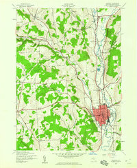
 2010 Norwich2010 Print · USGSCovers Plymouth, including Norwich, Norwich, and other nearby areas
 - 2010 Map of Otselic, 2010 Print
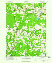
 2010 Otselic2010 Print · USGSCovers Plymouth, including Lebanon, Smyrna, and other nearby areas
 - 2010 Map of Earlville, 2010 Print
 2010 Earlville2010 Print · USGSCovers Plymouth, including Hamilton, Sherburne, and other nearby areas
 - 2010 Map of East Pharsalia, 2010 Print
 2010 East Pharsalia2010 Print · USGSCovers Plymouth, including Preston, McDonough, and other nearby areas
 - 2013 Map of Earlville, 2013 Print
 2013 Earlville2013 Print · USGSCovers Plymouth, including Hamilton, Sherburne, and other nearby areas
 - 2013 Map of Norwich, 2013 Print
 2013 Norwich2013 Print · USGSCovers Plymouth, including Norwich, Norwich, and other nearby areas
 - 2013 Map of East Pharsalia, 2013 Print
 2013 East Pharsalia2013 Print · USGSCovers Plymouth, including Preston, McDonough, and other nearby areas
 - 2013 Map of Otselic, 2013 Print
 2013 Otselic2013 Print · USGSCovers Plymouth, including Lebanon, Smyrna, and other nearby areas
 - 2016 Map of Otselic, 2016 Print
 2016 Otselic2016 Print · USGSCovers Plymouth, including Lebanon, Smyrna, and other nearby areas
Showing maps 1-25 of 36
Top cities near Plymouth
- Norwich historical maps
- Hamilton historical maps
- Sidney historical maps
- Greene historical maps
- Unadilla historical maps
- Hamilton historical maps
See more
Top neighborhoods of Plymouth
Frequently asked questions
- What are the different types of historical maps available for Plymouth?
- What is the oldest map of Plymouth?
- Where can I purchase historical maps of Plymouth for my home or office?
- Where can I download high-res historical maps of Plymouth?
- Are there historical topographic maps available for Plymouth?
- Is there historical aerial imagery available for Plymouth?
- Where are historical maps of Plymouth sourced from?