
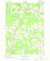
1943 Map of East Pharsalia
USGS Topo · Published 1960About this map
Pharsalia Game Refuge dominates the northern uplands of this Chenango County landscape, reflecting an era of early 20th-century conservation and state land management. The terrain is defined by a network of rural schoolhouses and family burying grounds that speak to the area's agricultural past. At the time of this 1943 field check, the community was anchored by small crossroads settlements like North Pharsalia, East Pharsalia, and Kirk. The drainage patterns are clearly delineated, showing how Canasawacta Creek and Genegantslet Creek carved their way through the hills, while man-made and natural water bodies like Plymouth Reservoir and Steer Pond dot the high country. For the researcher, the map preserves the specific locations of several district schools, including School No 5 and School No 12, which were often the social centers of these highland townships.
Find a feature on this map
27 named features on this map. Tap any name to fly to it.
Don’t see what you’re looking for? This feature index may not catch every label — zoom into the map to look around manually.
Map Details
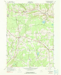
Editions of this 1943 East Pharsalia Map
3 editions found
Other maps of this area

1902 · Coventry
USGS Topo · 1:62,500

1903 · Norwich
USGS Topo · 1:62,500

1904 · Greene
USGS Topo · 1:62,500

1904 · Oxford
USGS Topo · 1:62,500

1904 · Pitcher
USGS Topo · 1:62,500

1943 · Otselic
USGS Topo · 1:24,000

1943 · South Ostelic
USGS Topo · 1:24,000

1943 · Norwich
USGS Topo · 1:24,000
1943 · Earlville
USGS Topo · 1:24,000

1943 · Pitcher
USGS Topo · 1:24,000