Old Maps of Cadyville, Plattsburgh for Academic Research
Study the evolution of Cadyville with 18 high-resolution historic maps. Whether you're teaching, researching, or modeling changes in land use, these maps provide essential visual documentation of urban, environmental, and geographic change.
- Analyze long-term change: Track patterns in development, transportation, and natural features.
- Ideal for environmental or urban studies: Support academic projects with primary historical map data.
- Use in the classroom or lab: Educators and researchers rely on these maps to bring historical context to life.
These maps are a powerful tool for teaching, research, and visualizing how Cadyville has changed over the decades.
Cadyville, Plattsburgh maps
(18)- 1913 Map of Dannemora
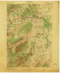 1913 Dannemora1913 Print · USGSClinton County's industrial and correctional history is frozen in time at the edge of the Adirondacks before the First World War. Trace the Chateaugay Branch rail line to the State Penitentiary or locate old schoolhouses like Grand Hill School.5 unique versions available
 - 1950 Map of Lake Champlain
 1950 Lake Champlain1950 Print · USGSThe Lake Champlain valley and its surrounding peaks are captured in detail during the late 1940s, showing the vital rail and road connections between New York and Vermont. Researchers can trace the routes of the Central Vermont Railway or locate old industrial centers like Mineville and Witherbee.2 unique versions available
 - 1956 Map of Dannemora, 1957 Print
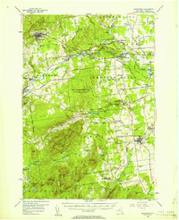 1956 Dannemora1957 Print · USGSClinton County’s landscape in the mid-fifties centers on the institutional history of Dannemora and the timbered slopes of Terry Mountain. Genealogists and historians can trace numerous rural cemeteries like Quaker Cem and locate historic schools such as Beckwith Sch.3 unique versions available
 - 1958 Map of Lake Champlain
 1958 Lake Champlain1958 Print · USGSThe Champlain Valley and surrounding high peaks are captured here in the late fifties, showcasing the cross-border region from the Adirondacks to the Green Mountains. Researchers can trace historic rail routes like the Rutland Railway or locate old valley settlements such as Keeseville and Vergennes.2 unique versions available
 - 1962 Map of Lake Champlain, 1975 Print
 1962 Lake Champlain1975 Print · USGSLake Champlain and the high peaks of the Adirondacks and Green Mountains are captured here during the mid-twentieth century. Researchers can trace the industrial legacy of the Lyon Mountain Mine and the rail corridors of the Central Vermont RR and Delaware & Hudson RR.3 unique versions available
 - 1966 Map of Morrisonville, 1968 Print
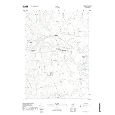
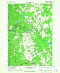 1966 Morrisonville1968 Print · USGSClinton County's river valleys and rural settlements are captured here in the mid-1960s as the region's industrial and civic landscape evolved. Genealogists and local historians can locate several family burial grounds and community landmarks, including the Irish Settlement Cem, St Alexanders Sch, and the Delaware and Hudson rail line.2 unique versions available
 - 1966 Map of Dannemora, 1968 Print
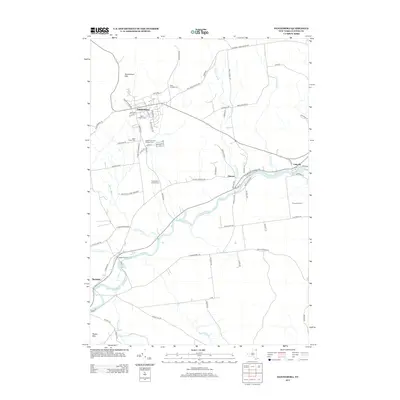
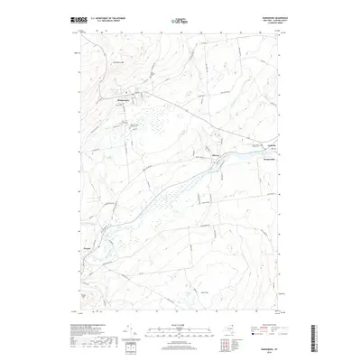
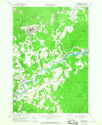 1966 Dannemora1968 Print · USGSClinton County in the 1960s reveals a unique intersection of state institutional land and river-valley industry. Genealogists and historians can trace the Clinton State Prison grounds, family-named roads, and settlements like Picketts Corners and Cadyville.2 unique versions available
 - 1986 Map of Lake Champlain North
 1986 Lake Champlain North1986 Print · USGSThe Lake Champlain borderlands in the mid-1980s show a mix of mountain villages and busy island shorelines. Researchers can trace the Delaware and Hudson RR through Plattsburgh or locate old rural sites like Mooers Forks and St Josephs Cem.2 unique versions available
 - 2010 Map of Morrisonville, 2010 Print
 2010 Morrisonville2010 Print · USGSCovers Cadyville, including Plattsburgh, Peru, and other nearby areas
 - 2010 Map of Dannemora, 2010 Print
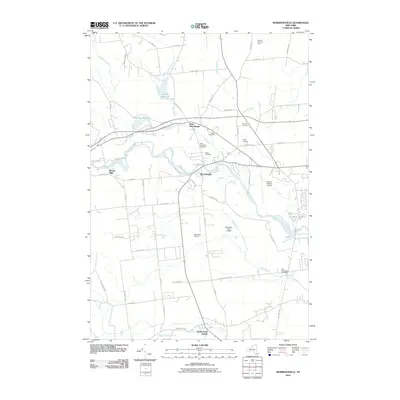
 2010 Dannemora2010 Print · USGSCovers Cadyville, including Plattsburgh, Beekmantown, and other nearby areas
 - 2013 Map of Dannemora, 2013 Print
 2013 Dannemora2013 Print · USGSCovers Cadyville, including Plattsburgh, Beekmantown, and other nearby areas
 - 2013 Map of Morrisonville, 2013 Print
 2013 Morrisonville2013 Print · USGSCovers Cadyville, including Plattsburgh, Peru, and other nearby areas
 - 2016 Map of Dannemora, 2016 Print
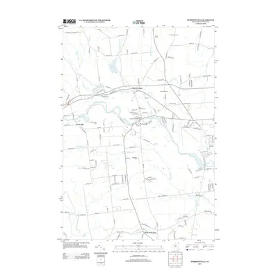
 2016 Dannemora2016 Print · USGSCovers Cadyville, including Plattsburgh, Beekmantown, and other nearby areas
 - 2016 Map of Morrisonville, 2016 Print
 2016 Morrisonville2016 Print · USGSCovers Cadyville, including Plattsburgh, Peru, and other nearby areas
 - 2019 Map of Dannemora, 2019 Print
 2019 Dannemora2019 Print · USGSCovers Cadyville, including Plattsburgh, Beekmantown, and other nearby areas
 - 2019 Map of Morrisonville, 2019 Print
 2019 Morrisonville2019 Print · USGSCovers Cadyville, including Plattsburgh, Peru, and other nearby areas
 - 2023 Map of Dannemora, 2023 Print
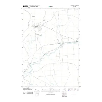
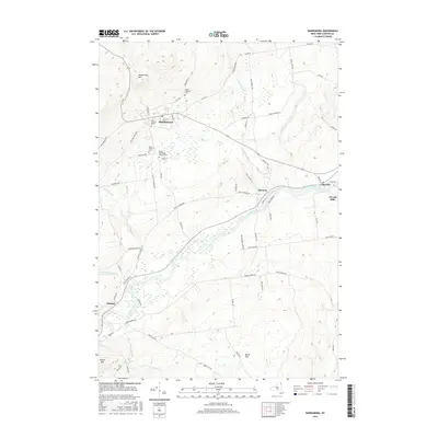
 2023 Dannemora2023 Print · USGSThe northern Adirondack foothills come into focus in this contemporary survey of Dannemora and the Saranac River valley. Genealogists can trace several institutional and community burial sites, including the State Prison Cem and Saint James Catholic Cem.
 - 2023 Map of Morrisonville, 2023 Print
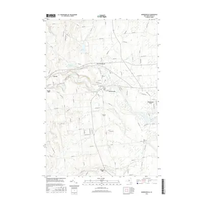
 2023 Morrisonville2023 Print · USGSInland Clinton County as it appeared in 2023 shows a landscape shaped by the Saranac River and a history of rural settlement. Researchers can locate several distinct burial grounds like Irish Settlement Cem and Magdala Solitude Cem alongside the modern footprint of Morrisonville.
End of results
Showing maps 1-18 of 18
Top cities near Cadyville
- Plattsburgh historical maps
- Plattsburgh historical maps
- Peru historical maps
- Champlain historical maps
- Beekmantown historical maps
- Schuyler Falls historical maps
See more
Frequently asked questions
- What are the different types of historical maps available for Cadyville?
- What is the oldest map of Cadyville?
- Where can I purchase historical maps of Cadyville for my home or office?
- Where can I download high-res historical maps of Cadyville?
- Are there historical topographic maps available for Cadyville?
- Is there historical aerial imagery available for Cadyville?
- Where are historical maps of Cadyville sourced from?