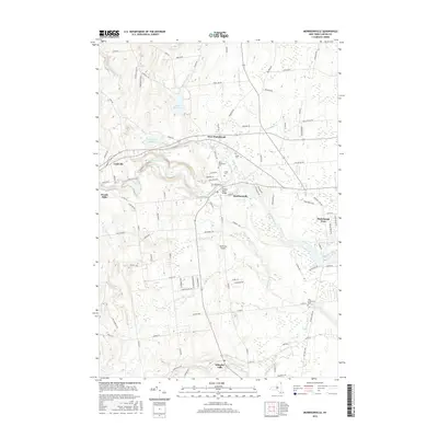
2016 Map of Morrisonville
USGS Topo · Published 2016About this map
The Saranac River and Salmon River define the hydraulic landscape of this Clinton County region, where the villages of Morrisonville and Cadyville serve as historic focal points along the valley. Water management for the surrounding area is evident through the presence of the Mead Reservoir and Patterson Reservoir, while the Saranac River Bridge provides a critical crossing near the heart of the community. Settlement patterns follow the river benches and upland roads, anchored by local institutions like Saint Alexanders Cem and the Union Cem.
Find a feature on this map
106 named features on this map. Tap any name to fly to it.
Don’t see what you’re looking for? This feature index may not catch every label — zoom into the map to look around manually.
Map Details
Editions of this 2016 Morrisonville Map
This is the sole edition of this map. No revisions or reprints were ever made.
Other maps of this area

1894 · Plattsburg
USGS Topo · 1:62,500

1895 · Mooers
USGS Topo · 1:62,500

1895 · Rouse Point
USGS Topo · 1:62,500

1899 · Mooers
USGS Topo · 1:62,500

1906 · Plattsburg
USGS Topo · 1:62,500

1907 · Rouse Point
USGS Topo · 1:62,500

1913 · Dannemora
USGS Topo · 1:62,500

1939 · Rouses Point
USGS Topo · 1:62,500

1939 · Plattsburg
USGS Topo · 1:62,500

1941 · Plattsburg
USGS Topo · 1:62,500