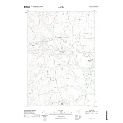
2019 Map of Morrisonville
USGS Topo · Published 2019About this map
The Saranac River winds through the heart of this Clinton County landscape, anchoring the settlements of Morrisonville, Cadyville, and West Plattsburgh. This modern topographic survey reveals a mix of residential expansion and preserved rural character west of the city of Plattsburgh. Genealogists will find several significant burial grounds documented, including the Irish Settlement Cem in the south and the Magdala Solitude Cem near the river.
Find a feature on this map
98 named features on this map. Tap any name to fly to it.
Don’t see what you’re looking for? This feature index may not catch every label — zoom into the map to look around manually.
Map Details
Editions of this 2019 Morrisonville Map
This is the sole edition of this map. No revisions or reprints were ever made.
Other maps of this area

1894 · Plattsburg
USGS Topo · 1:62,500

1895 · Mooers
USGS Topo · 1:62,500

1895 · Rouse Point
USGS Topo · 1:62,500

1899 · Mooers
USGS Topo · 1:62,500

1906 · Plattsburg
USGS Topo · 1:62,500

1907 · Rouse Point
USGS Topo · 1:62,500

1913 · Dannemora
USGS Topo · 1:62,500

1939 · Rouses Point
USGS Topo · 1:62,500

1939 · Plattsburg
USGS Topo · 1:62,500

1941 · Plattsburg
USGS Topo · 1:62,500