Old Maps of Marcy Landing, North Hudson for Genealogy
Trace your family roots with 14 historic maps of Marcy Landing. These high-res maps reveal old neighborhoods, homesites, landmarks, and streets — helping you uncover where your ancestors lived and how the area evolved over time.
- Explore historic neighborhoods: Identify where your relatives may have lived in the 1800s or 1900s.
- Compare maps over time: Trace the changes in streets, buildings, and landmarks for multi-generational research.
- Perfect for genealogy & ancestry research: Used by family historians and researchers to map out lineage and migration.
These maps are an incredible resource for exploring your personal connection to Marcy Landing's past.
Marcy Landing, North Hudson maps
(14)- 1895 Map of Mt. Marcy
 1895 Mt. Marcy1895 Print · USGSThe Adirondack High Peaks are captured here in the late nineteenth century, showing early mountain outposts and wilderness boundaries. Trace the trails from Adirondack Lodge and Keene Valley to summits like Mt. Marcy and Mt. Skylight.2 unique versions available
 - 1902 Map of Mt. Marcy
 1902 Mt. Marcy1902 Print · USGSThe High Peaks of the Adirondacks are meticulously charted in the early 1900s, showing the early infrastructure for mountain tourism. Trace historical routes to Mt. Marcy from Adirondack Lodge or locate the old valley settlements of Keene Valley and Beede.10 unique versions available
 - 1950 Map of Lake Champlain
 1950 Lake Champlain1950 Print · USGSThe Lake Champlain valley and its surrounding peaks are captured in detail during the late 1940s, showing the vital rail and road connections between New York and Vermont. Researchers can trace the routes of the Central Vermont Railway or locate old industrial centers like Mineville and Witherbee.2 unique versions available
 - 1953 Map of Mount Marcy, 1957 Print
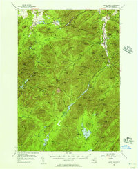 1953 Mount Marcy1957 Print · USGSThe High Peaks region in the mid-fifties shows a landscape of deep wilderness crossed by an extensive network of footpaths and early recreation sites. You can trace the Old Military Road, find the Norton Cem, or locate the Olympic Bobsled Run.5 unique versions available
 - 1958 Map of Lake Champlain
 1958 Lake Champlain1958 Print · USGSThe Champlain Valley and surrounding high peaks are captured here in the late fifties, showcasing the cross-border region from the Adirondacks to the Green Mountains. Researchers can trace historic rail routes like the Rutland Railway or locate old valley settlements such as Keeseville and Vergennes.2 unique versions available
 - 1962 Map of Lake Champlain, 1975 Print
 1962 Lake Champlain1975 Print · USGSLake Champlain and the high peaks of the Adirondacks and Green Mountains are captured here during the mid-twentieth century. Researchers can trace the industrial legacy of the Lyon Mountain Mine and the rail corridors of the Central Vermont RR and Delaware & Hudson RR.3 unique versions available
 - 1979 Map of Mount Marcy
 1979 Mount Marcy1979 Print · USGSThe High Peaks wilderness is captured in the late seventies, showing the intricate trail and waterway systems surrounding the state's highest point. Hikers and historians can trace routes like the Guide Board Trail or locate remote spots like Marcy Landing and the Boreas Ponds.
 - 1986 Map of Lake Champlain South
 1986 Lake Champlain South1986 Print · USGSIn the mid-1980s, the shores of Lake Champlain linked the Adirondack high peaks with the Vermont valley. Genealogists and researchers can trace the rail lines of the Delaware & Hudson RR or locate historic settlements like Mineville and Au Sable Forks.2 unique versions available
 - 1999 Map of Mount Marcy, 2001 Print
 1999 Mount Marcy2001 Print · USGSThe High Peaks of the Adirondacks are captured here at the end of the century, showing the preserved wilderness of Essex County. Backcountry researchers can trace the historic Van Hoevenberg Trail or locate remote landmarks like Tear of the Clouds and The Ice Cave.
 - 2010 Map of Mount Marcy, 2010 Print
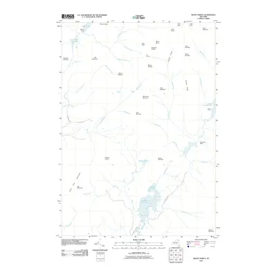 2010 Mount Marcy2010 Print · USGSAdirondack high peaks terrain comes into focus in this modern survey, detailing the remote watershed at the heart of the park. Hikers and historians can trace the paths around Mount Marcy and Lake Colden, or locate points like Marcy Landing and Four Corners.
 - 2013 Map of Mount Marcy, 2013 Print
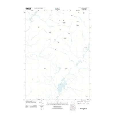 2013 Mount Marcy2013 Print · USGSThe high peaks of the Adirondacks are captured in detail during the early 2010s, showing a landscape of alpine summits and remote waters. Researchers can trace the drainage of the Opalescent River and locate landmarks like Mt Marcy, Four Corners, and Boreas Ponds.
 - 2016 Map of Mount Marcy, 2016 Print
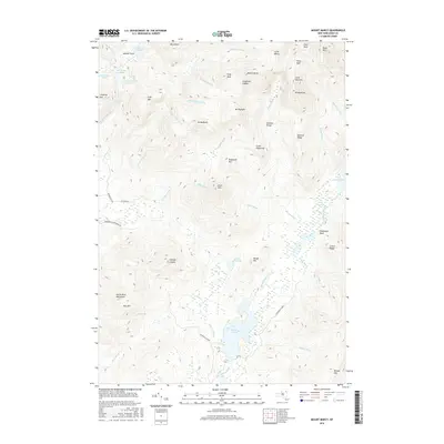 2016 Mount Marcy2016 Print · USGSThe High Peaks of the Adirondacks are documented here in detail during the early twenty-first century. Researchers can trace the steep topography between Mount Marcy and Lake Colden or locate remote features like Panther Gorge.
 - 2019 Map of Mount Marcy, 2019 Print
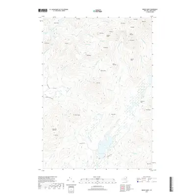 2019 Mount Marcy2019 Print · USGSThe High Peaks of the Adirondacks are captured here in the late 2010s, showcasing a landscape of extreme elevation and historic waterways. Trace the rugged terrain from Mt Marcy down to the remote Lake Tear-of the-Clouds and the Boreas Ponds.
 - 2023 Map of Mount Marcy, 2023 Print
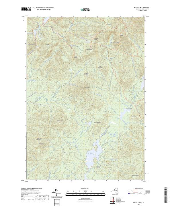 2023 Mount Marcy2023 Print · USGSThe High Peaks region of Essex County is documented here in the early twenty-first century, showcasing the preserved wilderness of the Adirondack Park. Hikers and historians can trace the classic routes to Mount Marcy, Lake Tear of the Clouds, and the dramatic Hanging Spear Falls.
End of results
Showing maps 1-14 of 14
Frequently asked questions
- What are the different types of historical maps available for Marcy Landing?
- What is the oldest map of Marcy Landing?
- Where can I purchase historical maps of Marcy Landing for my home or office?
- Where can I download high-res historical maps of Marcy Landing?
- Are there historical topographic maps available for Marcy Landing?
- Is there historical aerial imagery available for Marcy Landing?
- Where are historical maps of Marcy Landing sourced from?