2010s Maps of Saint Armand, New York
Explore 24 historic maps of Saint Armand from the 2010s. These maps offer a rare glimpse into what life looked like during the 2010s — showing old roads, neighborhoods, homes, and landmarks that have changed or disappeared over time.
Whether you're researching your family's past, planning a metal detecting trip, or studying how Saint Armand's landscape evolved across the 2010s, these high-resolution maps are a powerful tool for exploring the history of this region.
- Focus on a specific era: All maps on this page are from the 2010s, giving you a focused view of this time period.
- See what’s changed: Compare century-old streets, trails, and buildings to today's modern landscape using overlays and satellite layers.
- Research with precision: Use these maps for genealogy, historical research, land use analysis, or educational projects.
- View, download, or print: Maps are fully viewable online in high resolution, and can be downloaded or printed for your own records.
Start exploring Saint Armand's history through authentic maps from the 2010s. This is your window into the past.
Saint Armand, NY maps
(24)- 2010 Map of Bloomingdale, 2010 Print
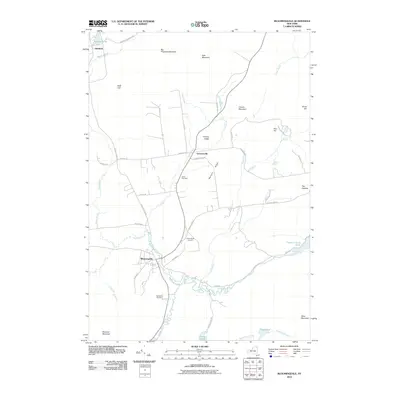 2010 Bloomingdale2010 Print · USGSAdirondack parklands and river valleys are captured here in the early twenty-first century as the landscape began its modern digital record. Genealogists can trace family roots at Brookside Cemetery and Saint Pauls Cemetery or follow the winding Saranac River through Bloomingdale.
 - 2010 Map of Gabriels, 2010 Print
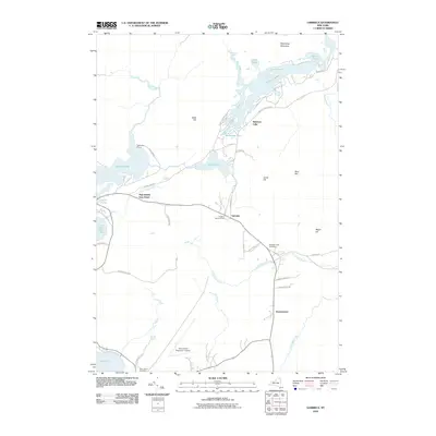 2010 Gabriels2010 Print · USGSThe Adirondack lake country around Gabriels and Paul Smiths is captured here in the early twenty-first century. Researchers can trace the legacy of Great Camps and mountain settlements through sites like White Pine Camp, Mountain View Cemetery, and the Adirondack Regional Airport.
 - 2010 Map of McKenzie Mountain, 2010 Print
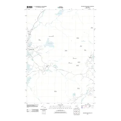 2010 McKenzie Mountain2010 Print · USGSThe Adirondack High Peaks region is captured here during the first decade of the millennium, centered on the historic village of Saranac Lake. Local historians can trace the developments around Ray Brook and Trudeau, or locate landmarks like Pine Ridge Cemetery and the Mount Pisgah Ski Area.
 - 2010 Map of Saranac Lake, 2010 Print
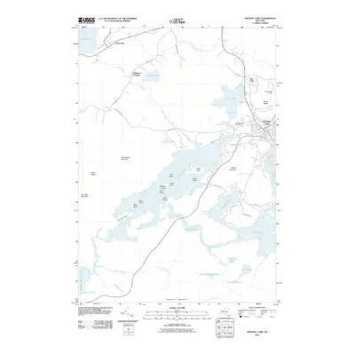 2010 Saranac Lake2010 Print · USGSSaranac Lake and the surrounding Adirondack wilderness are shown in great detail during the early 2010s. Researchers can trace the village streets leading to Lake Flower or explore the many islands of Lower Saranac Lake and the slopes of Mount Pisgah.
 - 2010 Map of Lake Placid, 2010 Print
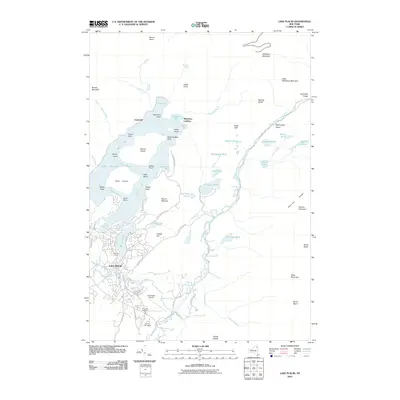 2010 Lake Placid2010 Print · USGSThe village of Lake Placid and its surrounding peaks are shown in the years following the millennial games. Researchers can trace the layout of the Olympic Arena, locate the North Elba Cemetery, and follow the West Branch Ausable River through Wilmington Notch.
 - 2010 Map of Franklin Falls, 2010 Print
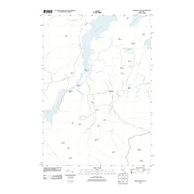 2010 Franklin Falls2010 Print · USGSClinton County and the Adirondack wilderness come into focus during the early twenty-first century as river and forest define the local economy. Researchers can trace the heritage of Franklin Falls and West Kilns or locate family plots at Union Cemetery and Goodspeed Cemetery.
 - 2013 Map of Lake Placid, 2013 Print
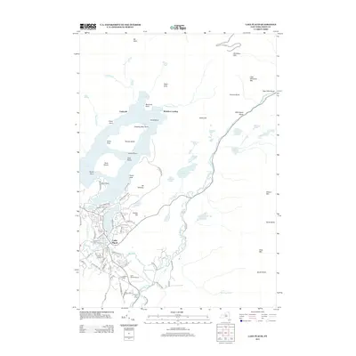 2013 Lake Placid2013 Print · USGSLake Placid and the High Peaks region are documented here in the early twenty-first century, showing the legacy of Olympic athletics and Adirondack history. Researchers can trace the layout of the village near Mirror Lake and find landmarks like the Olympic Ski Jump and N Elba Cem.
 - 2013 Map of Franklin Falls, 2013 Print
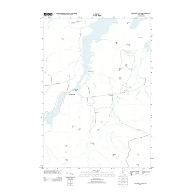 2013 Franklin Falls2013 Print · USGSThe Adirondack wilderness in the early twenty-first century is captured here, centering on the waters of Union Falls Pond. Researchers can trace local lineage at Union Cem or explore the mountain terrain near West Kilns and Esther Mtn.
 - 2013 Map of Saranac Lake, 2013 Print
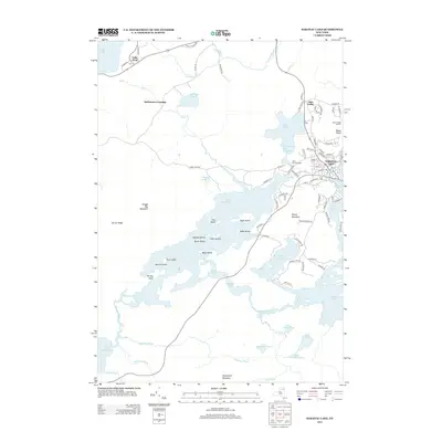 2013 Saranac Lake2013 Print · USGSThe Adirondack lake country around Saranac Lake is mapped here in the early twenty-first century, showing the village's relationship to its peaks and waterways. Trace local landmarks like the Mount Pisgah Ski Area, the many islands of Lower Saranac Lake, and the community of Lake Clear.
 - 2013 Map of Gabriels, 2013 Print
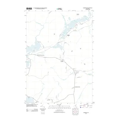 2013 Gabriels2013 Print · USGSHarrietstown and the surrounding lake country are captured here in the early twenty-first century, showing a landscape of interconnected waterways and forest camps. Researchers can locate family names and historic sites like White Pine Camp, Mtn View Cem, and the community of Gabriels.
 - 2013 Map of Bloomingdale, 2013 Print
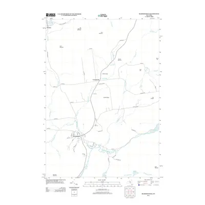 2013 Bloomingdale2013 Print · USGSThe Adirondack foothills north of the Saranac River are captured here in the early twenty-first century. Researchers can locate local burial grounds including Union Cem and Brookside Cem alongside settlements like Bloomingdale and Vermontville.
 - 2013 Map of McKenzie Mountain, 2013 Print
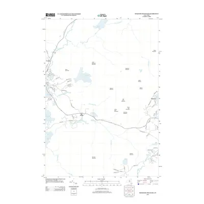 2013 McKenzie Mountain2013 Print · USGSThe Adirondack highlands near North Elba and Saranac Lake are shown in 2013 just as local residential corridors began expanding into the mountain valleys. Researchers can trace the layout of Trudeau, locate Pine Ridge Cem, and follow the Chubb River as it winds past Scarface Mountain.
 - 2016 Map of Bloomingdale, 2016 Print
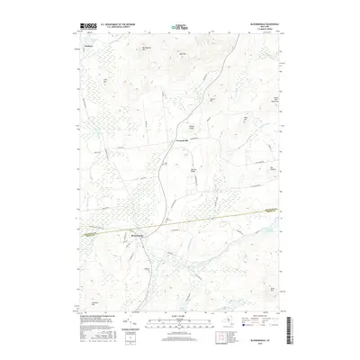 2016 Bloomingdale2016 Print · USGSThe Adirondack highland communities of Bloomingdale and Vermontville are shown in 2016 amidst the peaks and river valleys. Genealogists can locate family sites near Brookside Cem and Saint Pauls Cem or trace the course of the Saranac River.
 - 2016 Map of Saranac Lake, 2016 Print
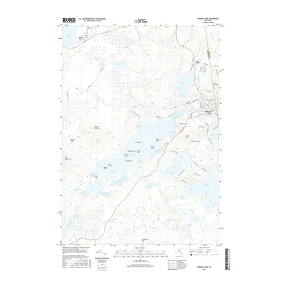 2016 Saranac Lake2016 Print · USGSThe village of Saranac Lake and its surrounding wilderness are shown in great detail during the mid-2010s. Researchers can trace the village streets to Saint Bernards Cem or navigate the intricate shorelines of Lower Saranac Lake and Lake Colby.
 - 2016 Map of Gabriels, 2016 Print
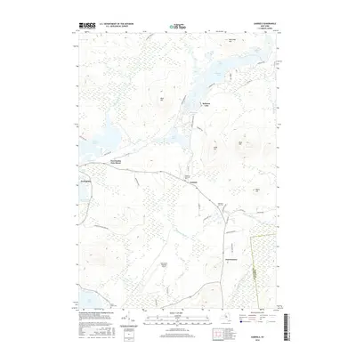 2016 Gabriels2016 Print · USGSThe Adirondack highlands near Harrietstown and Paul Smiths appear in this 2016 survey, showcasing a landscape of interconnected waterways and mountain peaks. Researchers can trace the boundaries of the Adirondack Park Preserve and locate sites like Mountain View Cem and the Adirondack Regional Airport.
 - 2016 Map of McKenzie Mountain, 2016 Print
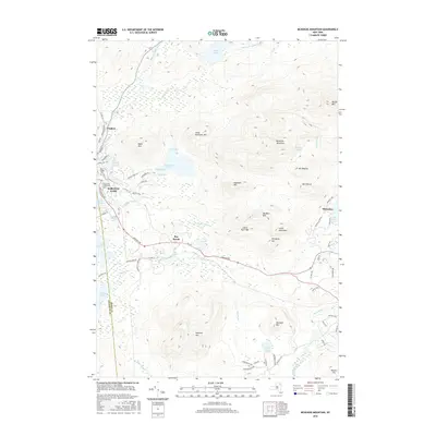 2016 McKenzie Mountain2016 Print · USGSThe High Peaks region surrounding Saranac Lake is mapped here in the mid-2010s, showing the intersection of village life and wilderness. Researchers can trace local landmarks like Trudeau, the Pine Ridge Cem, and the trails leading toward McKenzie Mountain and Whiteface.
 - 2016 Map of Franklin Falls, 2016 Print
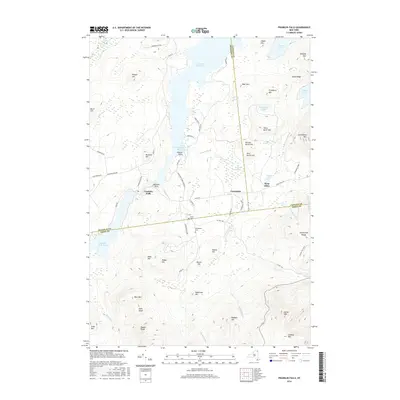 2016 Franklin Falls2016 Print · USGSThe Adirondack high country near the meeting of three counties is shown here in the mid-2010s. Researchers can trace land use and local genealogy through the Union Cem, the settlement at Franklin Falls, and recreational routes like Cooper Kiln Trail.
 - 2016 Map of Lake Placid, 2016 Print
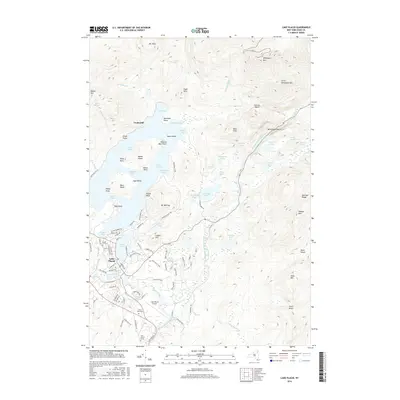 2016 Lake Placid2016 Print · USGSLake Placid and the surrounding High Peaks are shown here in the mid-2010s, capturing the balance between wilderness and resort town. Trace local history through landmarks like John Browns Grave, the North Elba Cem, and the rugged Jackrabbit Trail.
 - 2019 Map of Saranac Lake, 2019 Print
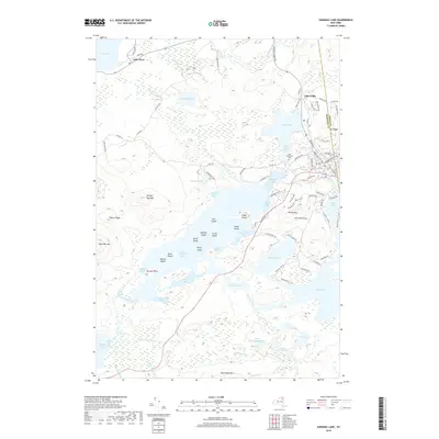 2019 Saranac Lake2019 Print · USGSThe High Peaks region comes into focus in this recent survey, showcasing the interconnected waterways and mountains near the Franklin and Essex line. Researchers can locate the Saint Bernards Cem or trace the shoreline from Lower Saranac Lake to Lake Flower.
 - 2019 Map of Gabriels, 2019 Print
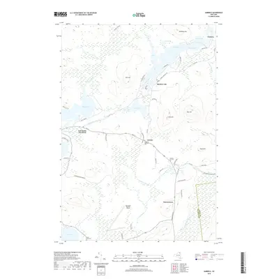 2019 Gabriels2019 Print · USGSThe Adirondack lake country around Gabriels and Paul Smiths is mapped here in its modern state. Genealogists and historians can trace local landmarks like Saint Johns Cem, Mountain View Cem, and the historic settlement at Onchiota among the mountain peaks.
 - 2019 Map of Franklin Falls, 2019 Print
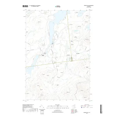 2019 Franklin Falls2019 Print · USGSThe Adirondack wilderness of Clinton and Essex counties is captured here in the early twenty-first century, centered on the waters of Union Falls Pond. Researchers can trace old family sites at Union Cem or follow the Cooper Kiln Trail through the high peaks.
 - 2019 Map of Bloomingdale, 2019 Print
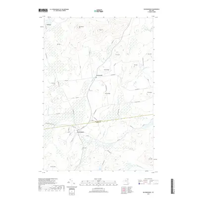 2019 Bloomingdale2019 Print · USGSThe Adirondack foothills of Essex and Franklin Counties are captured here in the modern era. Genealogists and researchers can locate several rural burial grounds like Brookside Cem and Saint Pauls Cem near the settlements of Bloomingdale and Vermontville.
 - 2019 Map of McKenzie Mountain, 2019 Print
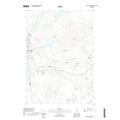 2019 McKenzie Mountain2019 Print · USGSSaranac Lake and the High Peaks wilderness are captured here in recent years, showing the intersection of North Country history and natural conservation. Genealogists and hikers can trace the geography around Pine Ridge Cem, the historic Trudeau area, and the shores of McKenzie Pond.
 - 2019 Map of Lake Placid, 2019 Print
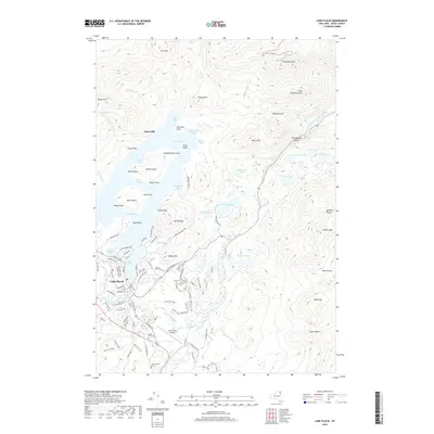 2019 Lake Placid2019 Print · USGSThe village of Lake Placid and the surrounding High Peaks are detailed in the late 2010s. Researchers can locate historic sites like John Browns Grave and the North Elba Cem alongside landmarks like Whiteface Mtn.
End of results
Showing maps 1-24 of 24
Top cities near Saint Armand
- North Elba historical maps
- Harrietstown historical maps
- Saranac Lake historical maps
- Saranac historical maps
- Jay historical maps
- Lake Placid historical maps
See more
Top neighborhoods of Saint Armand
Frequently asked questions
- What are the different types of historical maps available for Saint Armand?
- What is the oldest map of Saint Armand?
- Where can I purchase historical maps of Saint Armand for my home or office?
- Where can I download high-res historical maps of Saint Armand?
- Are there historical topographic maps available for Saint Armand?
- Is there historical aerial imagery available for Saint Armand?
- Where are historical maps of Saint Armand sourced from?