2000s (21st Century) Maps of Johnstown, New York
Explore 25 historic maps of Johnstown from the 2000s (21st Century). These maps offer a rare glimpse into what life looked like during the 2000s — showing old roads, neighborhoods, homes, and landmarks that have changed or disappeared over time.
Whether you're researching your family's past, planning a metal detecting trip, or studying how Johnstown's landscape evolved across the 2000s, these high-resolution maps are a powerful tool for exploring the history of this region.
- Focus on a specific era: All maps on this page are from the 2000s, giving you a focused view of this time period.
- See what’s changed: Compare century-old streets, trails, and buildings to today's modern landscape using overlays and satellite layers.
- Research with precision: Use these maps for genealogy, historical research, land use analysis, or educational projects.
- View, download, or print: Maps are fully viewable online in high resolution, and can be downloaded or printed for your own records.
Start exploring Johnstown's history through authentic maps from the 2000s. This is your window into the past.
Johnstown, NY maps
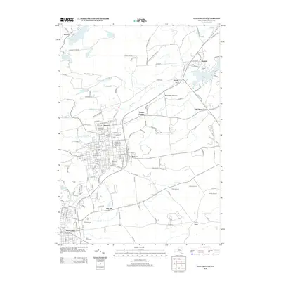
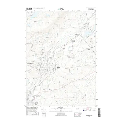
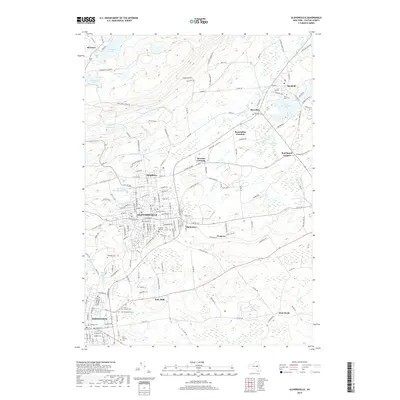
(25)- 2010 Map of Gloversville, 2010 Print
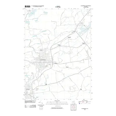 2010 Gloversville2010 Print · USGSCovers Johnstown, including Gloversville, Mayfield, and other nearby areas
 - 2010 Map of Lassellsville, 2010 Print
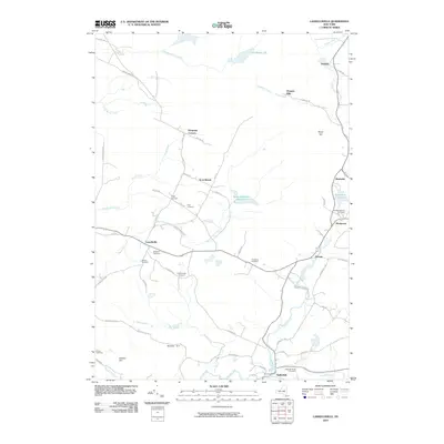 2010 Lassellsville2010 Print · USGSCovers Johnstown, including Palatine, Saint Johnsville, and other nearby areas
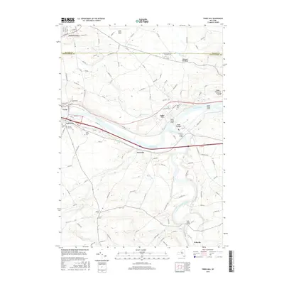
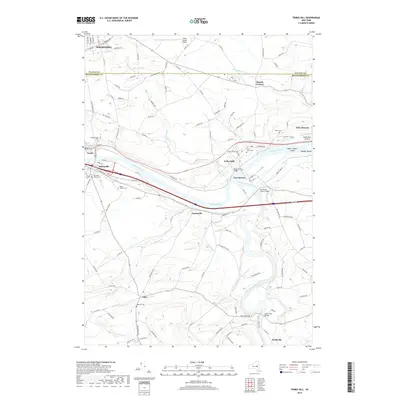
 - 2010 Map of Tribes Hill, 2010 Print
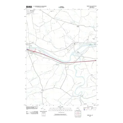 2010 Tribes Hill2010 Print · USGSCovers Johnstown, including Amsterdam, Perth, and other nearby areas
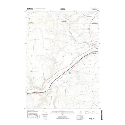
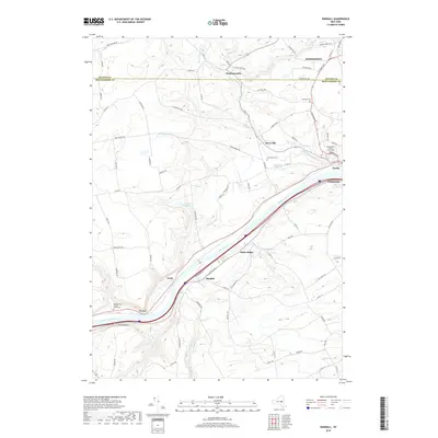
 - 2010 Map of Randall, 2010 Print
 2010 Randall2010 Print · USGSCovers Johnstown, including Mohawk, Palatine, and other nearby areas
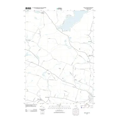
 - 2010 Map of Peck Lake, 2010 Print
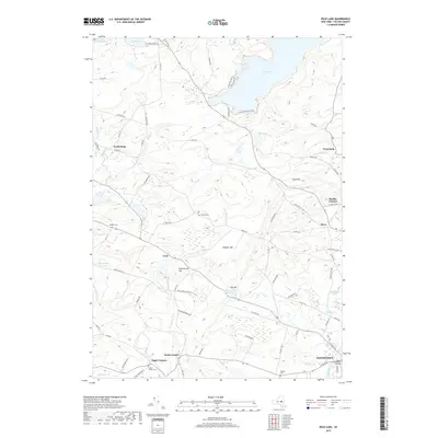
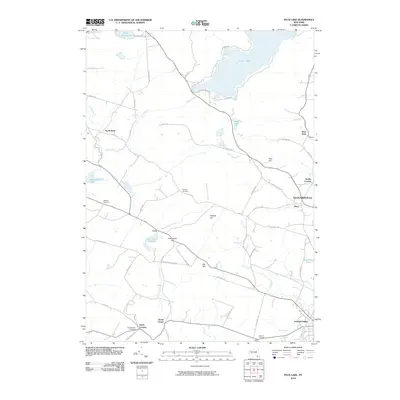 2010 Peck Lake2010 Print · USGSCovers Johnstown, including Gloversville, Ephratah, and other nearby areas
 - 2013 Map of Gloversville, 2013 Print
 2013 Gloversville2013 Print · USGSCovers Johnstown, including Gloversville, Mayfield, and other nearby areas
 - 2013 Map of Lassellsville, 2013 Print
 2013 Lassellsville2013 Print · USGSCovers Johnstown, including Palatine, Saint Johnsville, and other nearby areas
 - 2013 Map of Peck Lake, 2013 Print
 2013 Peck Lake2013 Print · USGSCovers Johnstown, including Gloversville, Ephratah, and other nearby areas
 - 2013 Map of Tribes Hill, 2013 Print
 2013 Tribes Hill2013 Print · USGSCovers Johnstown, including Amsterdam, Perth, and other nearby areas
 - 2013 Map of Randall, 2013 Print
 2013 Randall2013 Print · USGSCovers Johnstown, including Mohawk, Palatine, and other nearby areas
 - 2016 Map of Lassellsville, 2016 Print
 2016 Lassellsville2016 Print · USGSCovers Johnstown, including Palatine, Saint Johnsville, and other nearby areas
 - 2016 Map of Peck Lake, 2016 Print
 2016 Peck Lake2016 Print · USGSCovers Johnstown, including Gloversville, Ephratah, and other nearby areas
 - 2016 Map of Gloversville, 2016 Print
 2016 Gloversville2016 Print · USGSCovers Johnstown, including Gloversville, Mayfield, and other nearby areas
 - 2016 Map of Randall, 2016 Print
 2016 Randall2016 Print · USGSCovers Johnstown, including Mohawk, Palatine, and other nearby areas
 - 2016 Map of Tribes Hill, 2016 Print
 2016 Tribes Hill2016 Print · USGSCovers Johnstown, including Amsterdam, Perth, and other nearby areas
 - 2019 Map of Randall, 2019 Print
 2019 Randall2019 Print · USGSCovers Johnstown, including Mohawk, Palatine, and other nearby areas
 - 2019 Map of Tribes Hill, 2019 Print
 2019 Tribes Hill2019 Print · USGSCovers Johnstown, including Amsterdam, Perth, and other nearby areas
 - 2019 Map of Gloversville, 2019 Print
 2019 Gloversville2019 Print · USGSCovers Johnstown, including Gloversville, Mayfield, and other nearby areas
 - 2019 Map of Lassellsville, 2019 Print
 2019 Lassellsville2019 Print · USGSCovers Johnstown, including Palatine, Saint Johnsville, and other nearby areas
 - 2019 Map of Peck Lake, 2019 Print
 2019 Peck Lake2019 Print · USGSCovers Johnstown, including Gloversville, Ephratah, and other nearby areas
 - 2023 Map of Lassellsville, 2023 Print
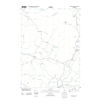
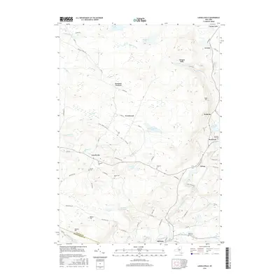
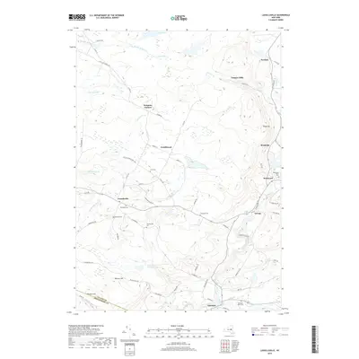
 2023 Lassellsville2023 Print · USGSFulton County and the southern Adirondack foothills are shown here in recent detail, capturing the area's rural character and small hamlets. Genealogists and historians can trace family burial sites like Christman Cem and old settlements such as Scotchbrush and Glasgow Mills.
 - 2023 Map of Randall, 2023 Print
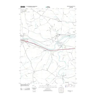
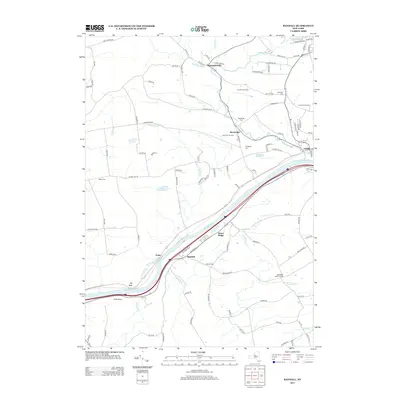
 2023 Randall2023 Print · USGSThe Mohawk Valley corridor comes into focus in this recent survey of Montgomery County. Researchers can trace riverside heritage in Fonda and Fultonville or locate family sites at Sammons Cem and the Montgomery County Courthouse.
 - 2023 Map of Tribes Hill, 2023 Print
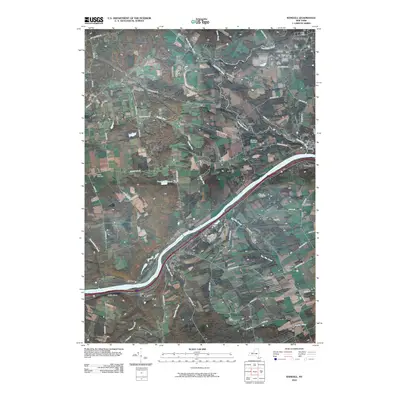
 2023 Tribes Hill2023 Print · USGSThe Mohawk River valley near Fonda and Fort Hunter is shown in the early twenty-first century as it balances its colonial heritage with modern growth. Genealogists can locate several historic burial sites, including Wyckoff Cem, and trace family roots in Fort Johnson or Tribes Hill.
 - 2023 Map of Peck Lake, 2023 Print
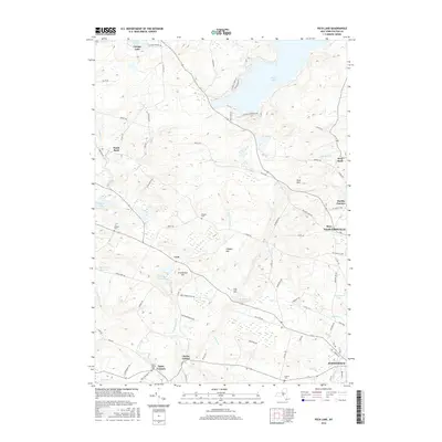
 2023 Peck Lake2023 Print · USGSThe Adirondack foothills of Fulton County appear here in detail, showing the rural uplands and vital reservoirs of the modern era. Genealogists and historians can locate old family burial sites like Rhodes Cem and Boshart Cem or trace the small hamlets of Kecks Center and Cork.
 - 2023 Map of Gloversville, 2023 Print
 2023 Gloversville2023 Print · USGSGloversville and Johnstown are shown in the 2020s as established industrial and residential hubs at the edge of the southern Adirondacks. Genealogists can locate family sites at Prospect Hill Cem, Israel Cem, and Mount Carmel Cem near the banks of Hale Creek.
End of results
Showing maps 1-25 of 25
Top cities near Johnstown
- Amsterdam historical maps
- Gloversville historical maps
- Johnstown historical maps
- Mayfield historical maps
- Duanesburg historical maps
- Amsterdam historical maps
See more
Top neighborhoods of Johnstown
- Hale Mills historical maps
- Berkshire historical maps
- Smiths Corners historical maps
- Dennies Crossing historical maps
- West Bush historical maps
- Meco historical maps
See more
Frequently asked questions
- What are the different types of historical maps available for Johnstown?
- What is the oldest map of Johnstown?
- Where can I purchase historical maps of Johnstown for my home or office?
- Where can I download high-res historical maps of Johnstown?
- Are there historical topographic maps available for Johnstown?
- Is there historical aerial imagery available for Johnstown?
- Where are historical maps of Johnstown sourced from?