Old Maps of Stratford, New York for Genealogy
Trace your family roots with 51 historic maps of Stratford. These high-res maps reveal old neighborhoods, homesites, landmarks, and streets — helping you uncover where your ancestors lived and how the area evolved over time.
- Explore historic neighborhoods: Identify where your relatives may have lived in the 1800s or 1900s.
- Compare maps over time: Trace the changes in streets, buildings, and landmarks for multi-generational research.
- Perfect for genealogy & ancestry research: Used by family historians and researchers to map out lineage and migration.
These maps are an incredible resource for exploring your personal connection to Stratford's past.
Stratford, NY maps
(51)- 1901 Map of Lassellsville, 1959 Print
 1901 Lassellsville1959 Print · USGSFulton and Montgomery Counties come alive in this turn-of-the-century survey of the Mohawk Valley and southern Adirondacks. Genealogists and researchers can pinpoint family holdings near Irish Settlement, the industry of Newkirk Mills, and the rails of the N. Y. C. and H. R. R. R.
 - 1903 Map of Lassellsville
 1903 Lassellsville1903 Print · USGSFulton County at the start of the century shows a landscape of upland mill sites and busy valley railroads. Genealogists can trace family names at Irish Settlement, Fical Corners, and the mill sites at Newkirk Mills.6 unique versions available
 - 1904 Map of Piseco Lake
 1904 Piseco Lake1904 Print · USGSThe central Adirondacks in the early 1900s centered on the waters of Piseco Lake and the winding West Canada Creek. Local historians can trace early outposts and settlements like Hoffmeister, Rudeston, and the isolated Mountain House.
 - 1906 Map of Piseco Lake
 1906 Piseco Lake1906 Print · USGSThe Adirondack wilderness of the early twentieth century comes into focus through this survey of the high-country lake district. Researchers can find logging-era outposts and early resorts like Mountain House, Rudeston, and the remote Powley Place.7 unique versions available
 - 1908 Map of Piseco Lake, 1918 Print
 1908 Piseco Lake1918 Print · USGSThe southern Adirondacks at the turn of the century appear as a network of isolated homesteads and family camps. Trace early settlements like Piseco and Hoffmeister or find remote landmarks such as Mountain House, Powley Place, and Clockmill Corners.
 - 1945 Map of Stratford, 1946 Print
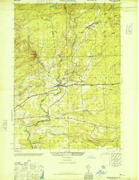 1945 Stratford1946 Print · USGSThe southern Adirondack foothills come alive in this mid-forties survey of the Herkimer and Fulton county line. Researchers can trace the rural layout of Stratford and Emmonsburg or locate family sites near Roundtop Cem and School No 16.4 unique versions available
 - 1945 Map of Canada Lake, 1963 Print
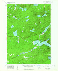 1945 Canada Lake1963 Print · USGSThe Southern Adirondacks just after the war were a landscape of remote mountain camps and quiet lakefront settlements. Trace early developments around Canada Lake and Arietta, or locate old landmarks like Waters Millpond and the Aqueduct.4 unique versions available
 - 1945 Map of Lassellsville, 1964 Print
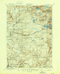 1945 Lassellsville1964 Print · USGSFulton County and the southern Adirondack fringe are captured here just after the turn of the century, showing a landscape of small mill towns and isolated highland settlements. Researchers can trace family-named crossroads like Fical Corners and vanished industrial sites at Glasgow Mills or Newkirk Mills.
 - 1945 Map of Lassellsville, 1964 Print
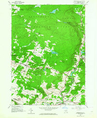 1945 Lassellsville1964 Print · USGSFulton and Montgomery Counties appear at the close of the Second World War as a landscape of rural hamlets and creek-side industry. Genealogists can trace family footprints at Dempster Corners, Miles School, and the Christman Cem.3 unique versions available
 - 1945 Map of Oppenheim, 1966 Print
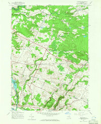 1945 Oppenheim1966 Print · USGSThe Mohawk Valley and the Adirondack foothills meet in this mid-century survey of Fulton and Montgomery Counties. You can trace early schoolhouse locations like School No 9 and explore rural hamlets including Lotville and Kringsbush.2 unique versions available
 - 1946 Map of Canada Lake
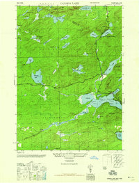 1946 Canada Lake1946 Print · USGSThe southern Adirondack wilderness comes into focus in the mid-1940s at the border of Hamilton and Fulton Counties. Researchers can trace early settlements and natural landmarks like Stewart Landing, Waters Millpond, and the heights of Kane Mtn.2 unique versions available
 - 1946 Map of Lassellsville
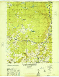 1946 Lassellsville1946 Print · USGSFulton County at the close of the war reveals a landscape of small hamlets and family-named landmarks tied to the Adirondack foothills. Researchers can trace ancestral locations at Fical Cem, the vanished Miles School, or the old industrial site at Glasgow Mills.
 - 1950 Map of Utica, 1951 Print
 1950 Utica1951 Print · USGSCentral New York in the post-war era showcases the industrial Mohawk Valley and the pristine Adirondack interior. Researchers can trace transportation networks like the New York Central Railroad and find early Cold War sites such as Griffiss Air Force Base.
 - 1954 Map of Piseco Lake, 1957 Print
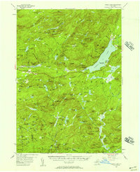 1954 Piseco Lake1957 Print · USGSMid-century Hamilton County is captured here in detail, showcasing the high-elevation settlements and lakes of the southern Adirondacks. Genealogists and historians can trace family locations and remote sites like Morehouseville, Shaker Place, and the Spruce Hill Cem.5 unique versions available
 - 1957 Map of Utica
 1957 Utica1957 Print · USGSCentral New York and the Adirondack foothills are captured here in the mid-fifties, showing a landscape defined by the Mohawk River corridor and the growing highway system. Genealogists and researchers can trace the rail lines of the New York Central and locate communities from Lowville to Gloversville.
 - 1962 Map of Utica
 1962 Utica1962 Print · USGSCentral New York and the Adirondack wilderness are captured here during the mid-century era of highway and industrial expansion. Genealogists and historians can trace the development of the New York State Thruway and local rail lines connecting Utica, Rome, and Gloversville.3 unique versions available
 - 1964 Map of Utica
 1964 Utica1964 Print · USGSCentral New York and the high wilderness of the Adirondacks are captured here during the post-war era of infrastructure expansion. Researchers can trace the development of the New York State Thruway alongside historic corridors like the Oneida Lake (Barge Canal Route) and the N. Y. Central railroad.
 - 1967 Map of Utica
 1967 Utica1967 Print · USGSCentral New York's industrial Mohawk Valley meets the Adirondack wilderness in the 1960s, showing the region's transition from manufacturing hubs to state-managed parklands. Trace historic settlements and sites like Griffiss Air Force Base, Colgate University, and the Lyons Falls Paper Mill.
 - 1985 Map of Gloversville, 1986 Print
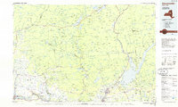 1985 Gloversville1986 Print · USGSThe southern Adirondacks meet the Mohawk Valley industrial corridor during the mid-eighties, showcasing a landscape of high-country lakes and riverside manufacturing towns. Trace the historical alignment of the Erie Canal and Conrail lines or locate landmarks like the Herkimer Home State Historic Site.2 unique versions available
 - 1990 Map of Morehouse Mountain
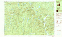 1990 Morehouse Mountain1990 Print · USGSThe Adirondack wilderness of Hamilton, Herkimer, and Fulton counties is shown here in the late twentieth century. Researchers can trace the legacy of mountain life and prospecting through landmarks like Big Goldmine Hill, Powley Place, and Clockmill Corners.
 - 1997 Map of Canada Lake, 2000 Print
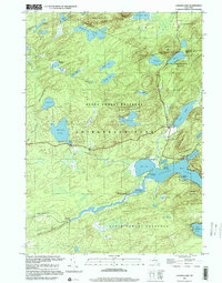 1997 Canada Lake2000 Print · USGSThe Adirondacks in the late 1990s remained a landscape of dense water networks and protected forests at the Fulton-Hamilton line. Trace the shorelines of Canada Lake and Pine Lake, or locate remote landmarks like Stewart Landing and Waters Millpond.
 - 2010 Map of Oppenheim, 2010 Print
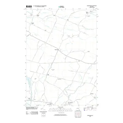 2010 Oppenheim2010 Print · USGSThe Mohawk Valley uplands in the early twenty-first century remain a landscape of quiet rural hamlets and deep-rooted family history. Genealogists can trace local heritage through numerous sites like Saint Bridgett's Cemetery, Twin Church, and the settlement at Oppenheim.
 - 2010 Map of Canada Lake, 2010 Print
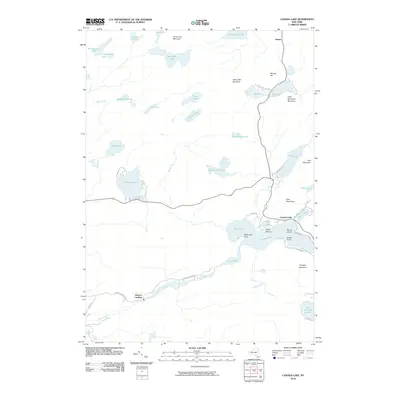 2010 Canada Lake2010 Print · USGSThe Southern Adirondacks come into focus here in the early twenty-first century, showing the lake-heavy landscape around Canada Lake and Stewart Landing. Genealogists and hikers can trace old routes like Stewart Landing Rd and find remote spots like Waters Millpond.
 - 2010 Map of Tomany Mountain, 2010 Print
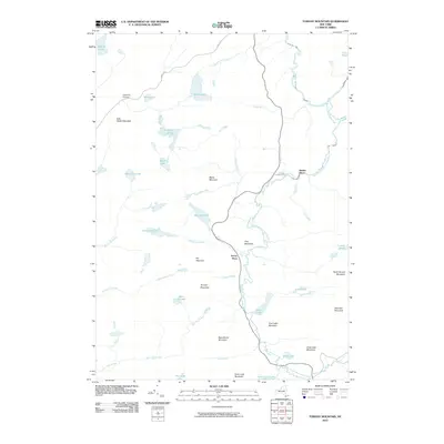 2010 Tomany Mountain2010 Print · USGSSouthern Adirondack wilderness persists in this 2010 survey of the Fulton County backcountry. Historians and genealogists can trace the isolated locations of Clockmill Corners, Shaker Place, and Averys Place among peaks like Tomany Mountain.
 - 2010 Map of Morehouse Lake, 2010 Print
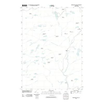 2010 Morehouse Lake2010 Print · USGSThe Herkimer County backcountry appears in this 2010 survey as a dense network of mountain peaks and secluded lakes. Genealogists and researchers can trace the remote outposts of Powley Place and Oregon along the banks of East Canada Creek.
Showing maps 1-25 of 51
Top cities near Stratford
- Johnstown historical maps
- Johnstown historical maps
- Little Falls historical maps
- Minden historical maps
- Mohawk historical maps
- Palatine historical maps
See more
Top neighborhoods of Stratford
- Knappville historical maps
- Oregon historical maps
- Emmonsburg historical maps
- Middle Sprite historical maps
- Bliss Corner historical maps
- Stewart Landing historical maps
Frequently asked questions
- What are the different types of historical maps available for Stratford?
- What is the oldest map of Stratford?
- Where can I purchase historical maps of Stratford for my home or office?
- Where can I download high-res historical maps of Stratford?
- Are there historical topographic maps available for Stratford?
- Is there historical aerial imagery available for Stratford?
- Where are historical maps of Stratford sourced from?