2010s Maps of Stratford, New York
Explore 24 historic maps of Stratford from the 2010s. These maps offer a rare glimpse into what life looked like during the 2010s — showing old roads, neighborhoods, homes, and landmarks that have changed or disappeared over time.
Whether you're researching your family's past, planning a metal detecting trip, or studying how Stratford's landscape evolved across the 2010s, these high-resolution maps are a powerful tool for exploring the history of this region.
- Focus on a specific era: All maps on this page are from the 2010s, giving you a focused view of this time period.
- See what’s changed: Compare century-old streets, trails, and buildings to today's modern landscape using overlays and satellite layers.
- Research with precision: Use these maps for genealogy, historical research, land use analysis, or educational projects.
- View, download, or print: Maps are fully viewable online in high resolution, and can be downloaded or printed for your own records.
Start exploring Stratford's history through authentic maps from the 2010s. This is your window into the past.
Stratford, NY maps
(24)- 2010 Map of Oppenheim, 2010 Print
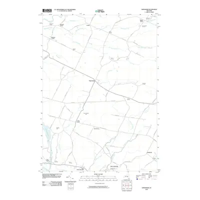 2010 Oppenheim2010 Print · USGSThe Mohawk Valley uplands in the early twenty-first century remain a landscape of quiet rural hamlets and deep-rooted family history. Genealogists can trace local heritage through numerous sites like Saint Bridgett's Cemetery, Twin Church, and the settlement at Oppenheim.
 - 2010 Map of Canada Lake, 2010 Print
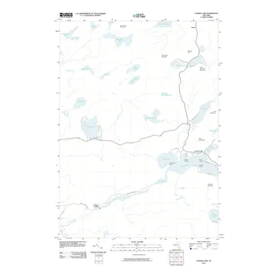 2010 Canada Lake2010 Print · USGSThe Southern Adirondacks come into focus here in the early twenty-first century, showing the lake-heavy landscape around Canada Lake and Stewart Landing. Genealogists and hikers can trace old routes like Stewart Landing Rd and find remote spots like Waters Millpond.
 - 2010 Map of Tomany Mountain, 2010 Print
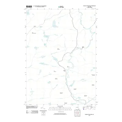 2010 Tomany Mountain2010 Print · USGSSouthern Adirondack wilderness persists in this 2010 survey of the Fulton County backcountry. Historians and genealogists can trace the isolated locations of Clockmill Corners, Shaker Place, and Averys Place among peaks like Tomany Mountain.
 - 2010 Map of Morehouse Lake, 2010 Print
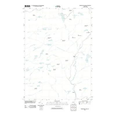 2010 Morehouse Lake2010 Print · USGSThe Herkimer County backcountry appears in this 2010 survey as a dense network of mountain peaks and secluded lakes. Genealogists and researchers can trace the remote outposts of Powley Place and Oregon along the banks of East Canada Creek.
 - 2010 Map of Stratford, 2010 Print
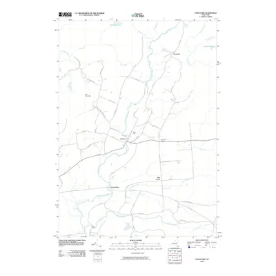 2010 Stratford2010 Print · USGSCentral New York’s Adirondack fringe comes into focus in the early twenty-first century, centered on the historic crossroads of Stratford. Genealogists can trace family landmarks like Roundtop Cemetery or early settlements at Knappville and Emmonsburg.
 - 2010 Map of Lassellsville, 2010 Print
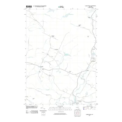 2010 Lassellsville2010 Print · USGSThe rural town of Lassellsville and its neighboring hamlets are captured here during the early 2000s. Researchers can locate numerous ancestral burial sites like Fical Cemetery and Dillaborough Cemetery while tracing the waters of Caroga Creek and Sprite Creek.
 - 2013 Map of Morehouse Lake, 2013 Print
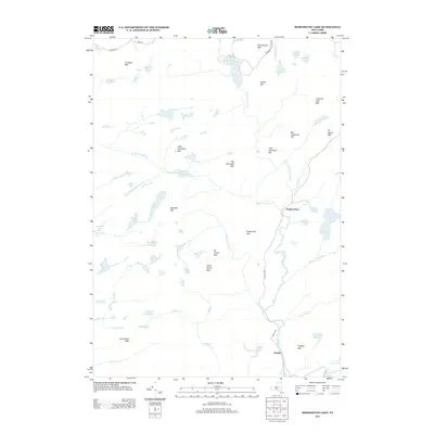 2013 Morehouse Lake2013 Print · USGSHerkimer County's southern wilderness is captured here in the early twenty-first century, showing a remote landscape of glacial lakes and named peaks. You can trace the backcountry routes of Powley Rd to find historic locations like Powley Place, Oregon, and Goldmine Stream.
 - 2013 Map of Canada Lake, 2013 Print
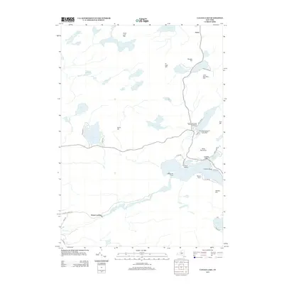 2013 Canada Lake2013 Print · USGSSouthern Adirondack lake country is captured here in the early twenty-first century, showing the intersection of wilderness and recreation. Genealogists and researchers can trace local settlements like Arietta and Stewart Landing alongside historic sites like Waters Millpond.
 - 2013 Map of Stratford, 2013 Print
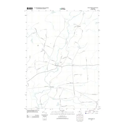 2013 Stratford2013 Print · USGSHerkimer County and the Adirondack foothills are captured here in the early twenty-first century, showing a landscape defined by forest and stream. Genealogists and local historians can locate rural hamlets like Stratford and Emmonsburg or find family plots at Smith Cem and Roundtop Cem.
 - 2013 Map of Tomany Mountain, 2013 Print
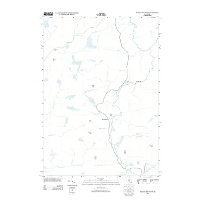 2013 Tomany Mountain2013 Print · USGSThe Adirondack wilderness in the early twenty-first century remains a landscape of high peaks and winding waterways. Genealogists and hikers can trace old routes like Powley Rd to find quiet historical markers like Clockmill Corners, Averys Place, and Good Luck Lake.
 - 2013 Map of Lassellsville, 2013 Print
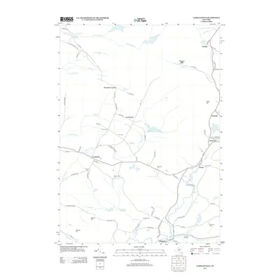 2013 Lassellsville2013 Print · USGSFulton County's rural heritage is preserved here in the early twenty-first century, showing a landscape of scattered hamlets and historic farmsteads. Researchers can locate numerous family burial sites including Christman Cem and Dillaborough Cem or trace the early paths of Irish Settlement Rd.
 - 2013 Map of Oppenheim, 2013 Print
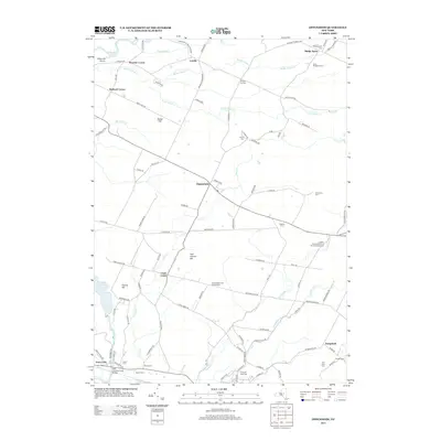 2013 Oppenheim2013 Print · USGSHerkimer County's upland farms and hamlets are shown in high detail here during the early twenty-first century. Genealogists can locate numerous small burial sites like Saint Bridgett's Cem and Klock Cem, or trace landmarks like the Crystal Grove Diamond Mine Campground.
 - 2016 Map of Lassellsville, 2016 Print
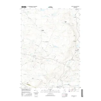 2016 Lassellsville2016 Print · USGSThis rural portion of western New York showcases the small settlements and family plots that defined the area into the twenty-first century. Genealogists can locate several family cemeteries such as Dillaborough Cem and Rockwood Rural Cem near Garoga.
 - 2016 Map of Stratford, 2016 Print
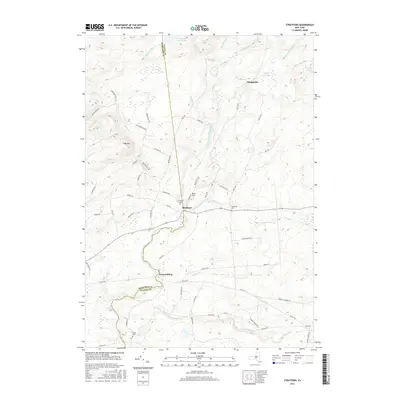 2016 Stratford2016 Print · USGSStratford and the surrounding Herkimer-Fulton county line are captured here in the mid-2010s, revealing a landscape defined by upland ridges and river valleys. Researchers can locate local landmarks like Stratford Cem, Smith Cem, and the small settlement at Emmonsburg.
 - 2016 Map of Tomany Mountain, 2016 Print
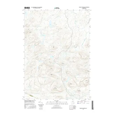 2016 Tomany Mountain2016 Print · USGSThe Adirondack wilderness along the Hamilton and Fulton County line is documented here in the early twenty-first century. Researchers can trace the remote network of peaks and water bodies from Tomany Mtn and Sherman Mtn to the shores of Sand Lake and Good Luck Lake.
 - 2016 Map of Oppenheim, 2016 Print
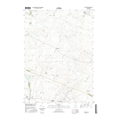 2016 Oppenheim2016 Print · USGSThe rural borders of Fulton and Montgomery Counties come into focus during the mid-2010s, showing a landscape shaped by quiet crossroads and family legacies. Genealogists can locate numerous burial sites such as Dutch Reformed Church Cem and Chatsey Cem near the winding Crum Creek.
 - 2016 Map of Canada Lake, 2016 Print
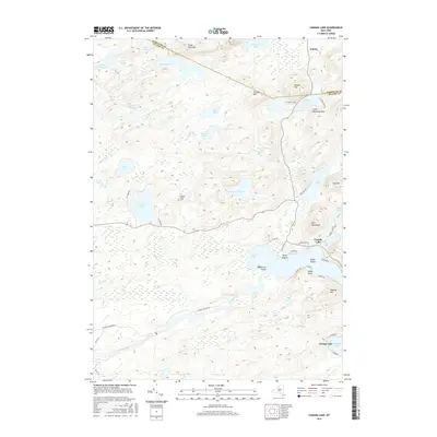 2016 Canada Lake2016 Print · USGSThe Adirondack foothills at the Fulton and Hamilton county line are shown here in the mid-2010s, centered on the communities of Canada Lake and Caroga Lake. Researchers can trace local landmarks like Waters Millpond, Stoner Island, and the heights of Rooster Hill.
 - 2016 Map of Morehouse Lake, 2016 Print
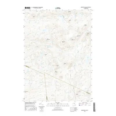 2016 Morehouse Lake2016 Print · USGSThe Adirondack wilderness around Oregon is captured here during the mid-2010s, showing a landscape defined by remote peaks and interconnected waterways. Researchers can trace the county boundaries and find local landmarks like Big Goldmine Hill, Jerseyfield Lake, and Dead Horse Mtn.
 - 2019 Map of Stratford, 2019 Print
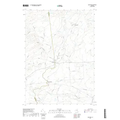 2019 Stratford2019 Print · USGSStratford and the surrounding Herkimer and Fulton County borderlands are documented here in the early twenty-first century. Genealogists and local researchers can trace historic burial grounds like Roundtop Cem and family-named routes such as PERKINS MILL RD and BINGHAM MILL RD.
 - 2019 Map of Tomany Mountain, 2019 Print
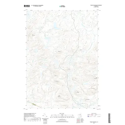 2019 Tomany Mountain2019 Print · USGSThe southern Adirondacks at the Hamilton and Fulton County line are shown here in modern detail, dominated by high peaks and river valleys. Researchers can trace the winding West Branch Sacandaga River and locate remote water bodies like Clockmill Pond and Good Luck Lake.
 - 2019 Map of Lassellsville, 2019 Print
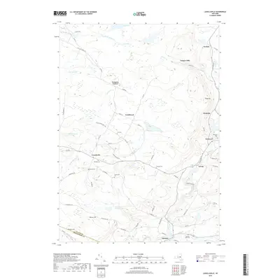 2019 Lassellsville2019 Print · USGSThe foothills of the southwestern Adirondacks come into focus in this late-decade survey of the rural hamlets northwest of Johnstown. Researchers can trace the layout of small settlements like Lassellsville and Ephratah or locate family sites at Dempster Cem and Rockwood Rural Cem.
 - 2019 Map of Canada Lake, 2019 Print
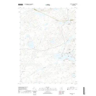 2019 Canada Lake2019 Print · USGSThe Adirondack lake country comes into focus in this modern survey of the Fulton and Hamilton county line. Researchers can trace local development around Canada Lake, the heights of Rooster Hill, and the settlement at Arietta.
 - 2019 Map of Oppenheim, 2019 Print
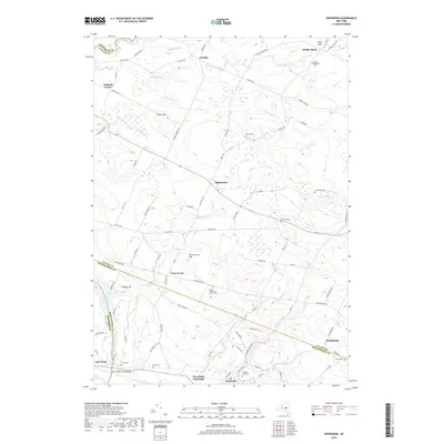 2019 Oppenheim2019 Print · USGSThe Mohawk Valley and its northern uplands are shown in detail as they appeared in 2019. Local historians can trace family roots at the Dutch Reformed Church Cem, Klock Cem, or explore the rural hubs of Oppenheim and St. Johnsville.
 - 2019 Map of Morehouse Lake, 2019 Print
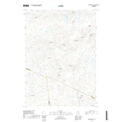 2019 Morehouse Lake2019 Print · USGSThe borderlands of Herkimer, Hamilton, and Fulton counties are documented here in 2019, centered on the high peaks and remote waters of the Adirondacks. Researchers can trace the rugged topography around Oregon and locate landmarks like Big Goldmine Hill or Dead Horse Mtn.
End of results
Showing maps 1-24 of 24
Top cities near Stratford
- Johnstown historical maps
- Johnstown historical maps
- Little Falls historical maps
- Minden historical maps
- Mohawk historical maps
- Palatine historical maps
See more
Top neighborhoods of Stratford
- Knappville historical maps
- Oregon historical maps
- Emmonsburg historical maps
- Middle Sprite historical maps
- Bliss Corner historical maps
- Stewart Landing historical maps
Frequently asked questions
- What are the different types of historical maps available for Stratford?
- What is the oldest map of Stratford?
- Where can I purchase historical maps of Stratford for my home or office?
- Where can I download high-res historical maps of Stratford?
- Are there historical topographic maps available for Stratford?
- Is there historical aerial imagery available for Stratford?
- Where are historical maps of Stratford sourced from?