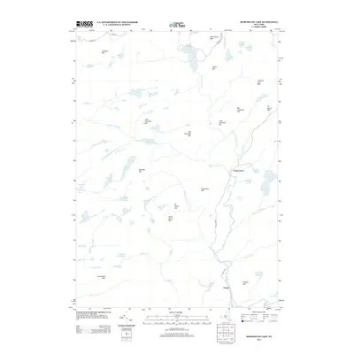
2013 Map of Morehouse Lake
USGS Topo · Published 2013About this map
Powley Place and Oregon stand as the primary human outposts in this dense landscape of the southern Adirondack wilderness. The 2013 topography reveals a complex network of glacial lakes and mountainous terrain, where Morehouse Lake and Jerseyfield Lake anchor a region defined by high-elevation water bodies and steep ridges. The drainage patterns are dominated by the W Br E Canada Cr and its tributaries, including the aptly named Goldmine Stream, which winds past Big Goldmine Hill and Little Goldmine Hill. This area is characterized by evocative local nomenclature, from the height of Dead Horse Mtn to the secluded waters of Blind Mans Vly and Black Cat Outlet. The map provides a detailed view of the remote road network connecting these points, specifically Piseco Rd and Powley Rd, which serve as the lifelines through the dense forest of Jerseyfield Mtn and Sugarbush Mtn.
Find a feature on this map
61 named features on this map. Tap any name to fly to it.
Don’t see what you’re looking for? This feature index may not catch every label — zoom into the map to look around manually.
Map Details
Editions of this 2013 Morehouse Lake Map
This is the sole edition of this map. No revisions or reprints were ever made.
Other maps of this area

1900 · Little Falls
USGS Topo · 1:62,500

1900 · Wilmurt
USGS Topo · 1:62,500

1901 · Lassellsville
USGS Topo · 1:62,500

1902 · Wilmurt
USGS Topo · 1:62,500

1903 · Lassellsville
USGS Topo · 1:62,500

1903 · Little Falls
USGS Topo · 1:62,500

1904 · Piseco Lake
USGS Topo · 1:62,500

1906 · Piseco Lake
USGS Topo · 1:62,500

1908 · Piseco Lake
USGS Topo · 1:62,500

1939 · Little Falls
USGS Topo · 1:62,500