Old Maps of Five Corners, Oakfield for Metal Detecting
Plan your next treasure hunt with 13 historic maps of Five Corners. Find old homesites, ghost towns, trails, and gathering spots that may be lost to time — perfect for identifying promising metal detecting locations.
- Locate forgotten sites: Uncover places like long-lost settlements, abandoned rail lines, or gathering spots.
- Plan better hunts: Use map overlays combined with LiDAR or satellite views to narrow in on historically rich areas.
- Made for detectorists: Thousands of hobbyists use these maps to discover relics, coins, and hidden history.
Use these historic maps to boost your research and find new opportunities beneath the surface of Five Corners.
Five Corners, Oakfield maps
(13)- 1897 Map of Medina
 1897 Medina1897 Print · USGSWestern New York at the close of the nineteenth century reveals a landscape defined by the Erie Canal and the Tonawanda Indian Reservation. Researchers can trace the early rail-and-water economy through settlements like Medina, Akron, and the vanished stops of Smithville Sta.7 unique versions available
 - 1950 Map of Medina, 1956 Print
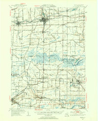 1950 Medina1956 Print · USGSOrleans and Genesee Counties are mapped here in the mid-fifties, showing the industrial pulse of the Erie Canal and New York Central corridor. Genealogists can locate numerous rural schools and landmarks like the Site of Neuter Fort, Boxwood Cem, and the Tonawanda Indian Reservation.2 unique versions available
 - 1950 Map of Oakfield, 1963 Print
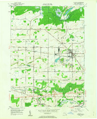 1950 Oakfield1963 Print · USGSGenesee County at mid-century shows a landscape defined by the intersection of traditional rail lines and the rising New York State Thruway. Genealogists can locate family landmarks such as Reed Cem, the Stone Schoolhouse, and the small settlement of South Alabama.
 - 1952 Map of Oakfield
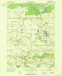 1952 Oakfield1952 Print · USGSGenesee County’s agricultural and marshland character is preserved here in the early fifties, showing the transition from rail-dependent hamlets to postwar rural life. Researchers can trace family roots at Stone Schoolhouse Cem or locate forgotten stops like Wheatville Sta and Five Corners.
 - 1952 Map of Toronto, 1954 Print
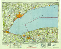 1952 Toronto1954 Print · USGSLake Ontario and the international border define this mid-century landscape of rapid industrial and suburban growth. Researchers can trace the vital shipping and rail corridors of the era, from the Welland Canal to the New York Central Railroad.
 - 1962 Map of Toronto, 1982 Print
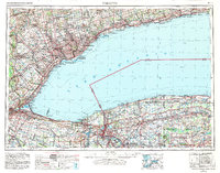 1962 Toronto1982 Print · USGSThe Golden Horseshoe and the Niagara Frontier meet in this early 1960s study of a growing international border region. Trace the path of the Welland Canal and locate land marks like the Scarborough Bluffs and Tuscarora Indian Reservation.
 - 1965 Map of Toronto
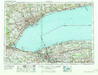 1965 Toronto1965 Print · USGSThe Golden Horseshoe and Niagara Frontier are shown in detail during the early sixties, highlighting the international shipping and transit networks. Trace the path of the Erie Canal, the Welland Canal, and rail lines connecting Toronto and Niagara Falls.2 unique versions available
 - 1984 Map of Lockport, 1985 Print
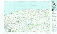 1984 Lockport1985 Print · USGSWestern New York in the 1980s shows a landscape of lakefront parks, industrial rail corridors, and vast protected wetlands. Genealogists and historians can trace the legacy of local families through sites like Acacia Park Cem or the Tuscarora Indian Reservation.2 unique versions available
 - 2010 Map of Oakfield, 2010 Print
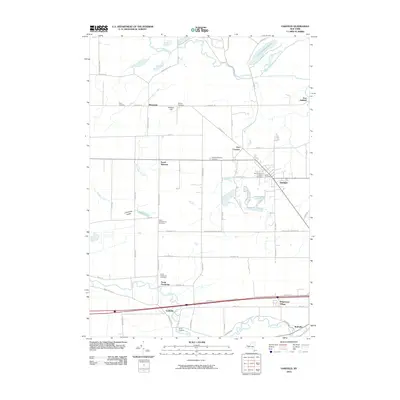 2010 Oakfield2010 Print · USGSGenesee County at the start of the 2010s reveals a landscape of enduring rural hamlets and historic community landmarks. Genealogists and local historians can trace family ties through Cary Cemetery, Stone Schoolhouse Cemetery, and settlements like Wheatville and Oakfield.
 - 2013 Map of Oakfield, 2013 Print
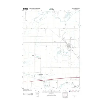 2013 Oakfield2013 Print · USGSGenesee County’s agricultural heartland is documented here in the early twenty-first century, centered on the village of Oakfield. Genealogists can trace family footprints through numerous local sites including Stone Schoolhouse Cem and Wheatville.
 - 2016 Map of Oakfield, 2016 Print
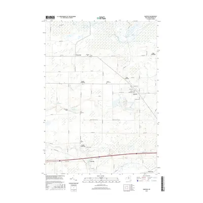 2016 Oakfield2016 Print · USGSGenesee County at the start of the twenty-first century reveals a landscape defined by expansive wetlands and established village centers. Researchers can locate numerous family burial sites such as Nichols Cem and trace rural settlements from Wheatville to East Oakfield.
 - 2019 Map of Oakfield, 2019 Print
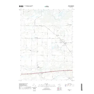 2019 Oakfield2019 Print · USGSGenesee County's rural character is on full display in this recent survey of the region surrounding Oakfield. Researchers can trace old family burial sites at Stone Schoolhouse Cem and Ross Cem or explore the wetlands of Oak Orchard Swamp.
 - 2023 Map of Oakfield, 2023 Print
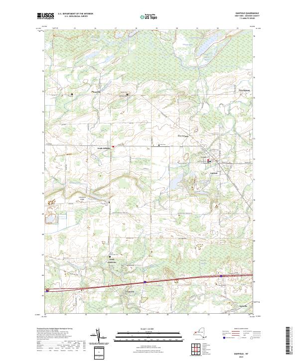 2023 Oakfield2023 Print · USGSWestern New York at the start of the 2020s shows a landscape of clustered villages and expansive wetlands. Genealogists can locate family sites at Cary Cem or Reed Cem, and trace the rural character of Wheatville and North Pembroke.
End of results
Showing maps 1-13 of 13
Top cities near Five Corners
- Batavia historical maps
- Alden historical maps
- Newstead historical maps
- Albion historical maps
- Royalton historical maps
- Ridgeway historical maps
See more
Frequently asked questions
- What are the different types of historical maps available for Five Corners?
- What is the oldest map of Five Corners?
- Where can I purchase historical maps of Five Corners for my home or office?
- Where can I download high-res historical maps of Five Corners?
- Are there historical topographic maps available for Five Corners?
- Is there historical aerial imagery available for Five Corners?
- Where are historical maps of Five Corners sourced from?