2000s (21st Century) Maps of Hunter, New York
Explore 30 historic maps of Hunter from the 2000s (21st Century). These maps offer a rare glimpse into what life looked like during the 2000s — showing old roads, neighborhoods, homes, and landmarks that have changed or disappeared over time.
Whether you're researching your family's past, planning a metal detecting trip, or studying how Hunter's landscape evolved across the 2000s, these high-resolution maps are a powerful tool for exploring the history of this region.
- Focus on a specific era: All maps on this page are from the 2000s, giving you a focused view of this time period.
- See what’s changed: Compare century-old streets, trails, and buildings to today's modern landscape using overlays and satellite layers.
- Research with precision: Use these maps for genealogy, historical research, land use analysis, or educational projects.
- View, download, or print: Maps are fully viewable online in high resolution, and can be downloaded or printed for your own records.
Start exploring Hunter's history through authentic maps from the 2000s. This is your window into the past.
Hunter, NY maps
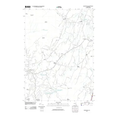
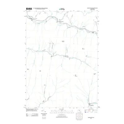
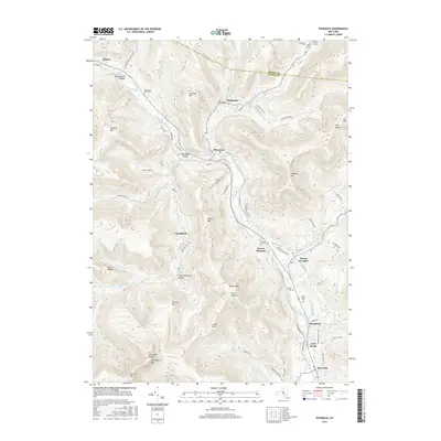
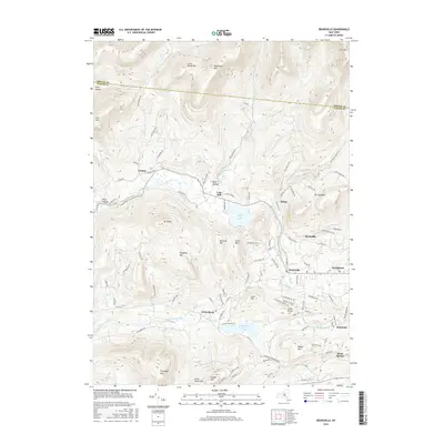
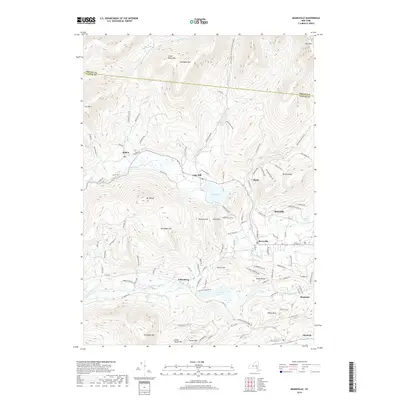
(30)- 2010 Map of Hunter, 2010 Print
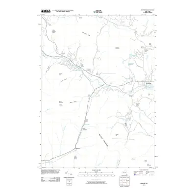 2010 Hunter2010 Print · USGSCovers Hunter, including Jewett, Lexington, and other nearby areas
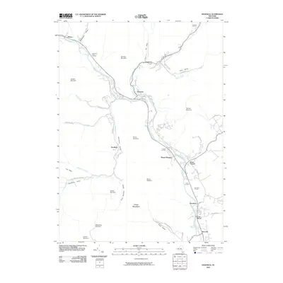
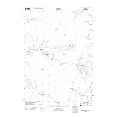
 - 2010 Map of Bearsville, 2010 Print
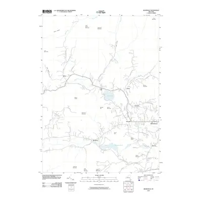 2010 Bearsville2010 Print · USGSCovers Hunter, including Woodstock, Hurley, and other nearby areas
 - 2010 Map of Kaaterskill Clove, 2010 Print
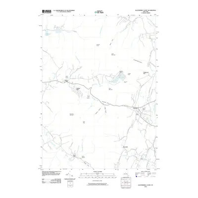 2010 Kaaterskill Clove2010 Print · USGSCovers Hunter, including Saugerties, Catskill, and other nearby areas
 - 2010 Map of Lexington, 2010 Print
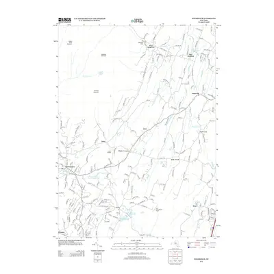
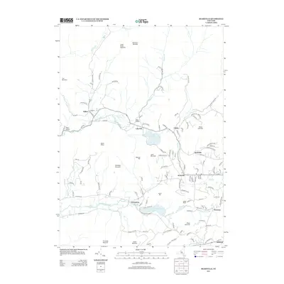
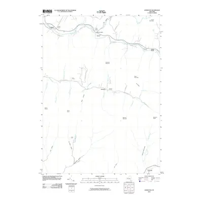 2010 Lexington2010 Print · USGSCovers Hunter, including Shandaken, Jewett, and other nearby areas
 - 2010 Map of Woodstock, 2010 Print
 2010 Woodstock2010 Print · USGSCovers Hunter, including Saugerties, Ulster, and other nearby areas
 - 2010 Map of Phoenicia, 2010 Print
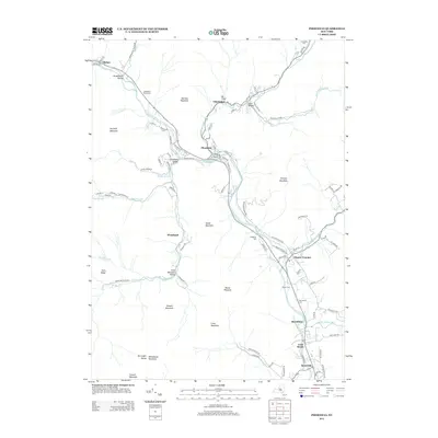
 2010 Phoenicia2010 Print · USGSCovers Hunter, including Woodstock, Olive, and other nearby areas
 - 2013 Map of Woodstock, 2013 Print
 2013 Woodstock2013 Print · USGSCovers Hunter, including Saugerties, Ulster, and other nearby areas
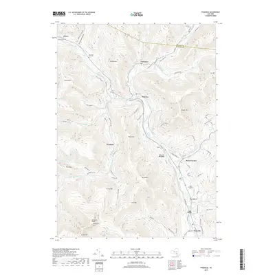
 - 2013 Map of Phoenicia, 2013 Print
 2013 Phoenicia2013 Print · USGSCovers Hunter, including Woodstock, Olive, and other nearby areas
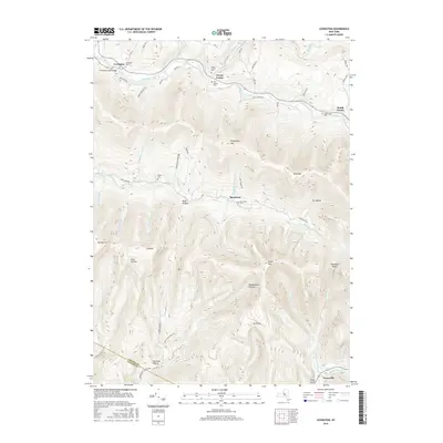
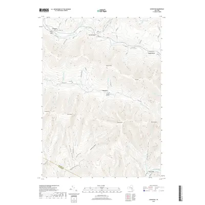
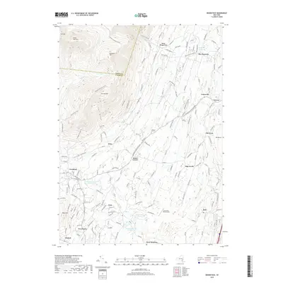
 - 2013 Map of Lexington, 2013 Print
 2013 Lexington2013 Print · USGSCovers Hunter, including Shandaken, Jewett, and other nearby areas
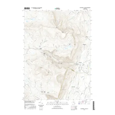
 - 2013 Map of Kaaterskill Clove, 2013 Print
 2013 Kaaterskill Clove2013 Print · USGSCovers Hunter, including Saugerties, Catskill, and other nearby areas
 - 2013 Map of Bearsville, 2013 Print
 2013 Bearsville2013 Print · USGSCovers Hunter, including Woodstock, Hurley, and other nearby areas
 - 2013 Map of Hunter, 2013 Print
 2013 Hunter2013 Print · USGSCovers Hunter, including Jewett, Lexington, and other nearby areas
 - 2016 Map of Woodstock, 2016 Print
 2016 Woodstock2016 Print · USGSCovers Hunter, including Saugerties, Ulster, and other nearby areas
 - 2016 Map of Phoenicia, 2016 Print
 2016 Phoenicia2016 Print · USGSCovers Hunter, including Woodstock, Olive, and other nearby areas
 - 2016 Map of Lexington, 2016 Print
 2016 Lexington2016 Print · USGSCovers Hunter, including Shandaken, Jewett, and other nearby areas
 - 2016 Map of Kaaterskill Clove, 2016 Print
 2016 Kaaterskill Clove2016 Print · USGSCovers Hunter, including Saugerties, Catskill, and other nearby areas
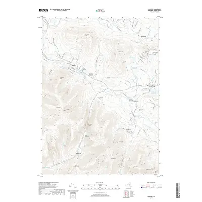
 - 2016 Map of Hunter, 2016 Print
 2016 Hunter2016 Print · USGSCovers Hunter, including Jewett, Lexington, and other nearby areas
 - 2016 Map of Bearsville, 2016 Print
 2016 Bearsville2016 Print · USGSCovers Hunter, including Woodstock, Hurley, and other nearby areas
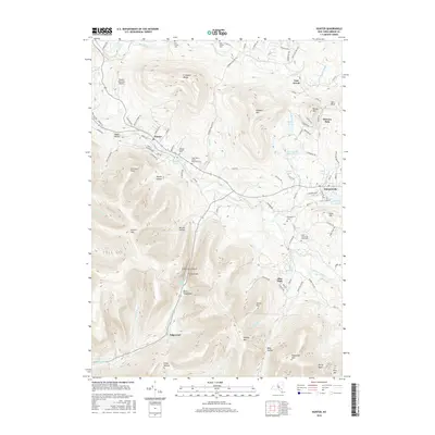
 - 2019 Map of Lexington, 2019 Print
 2019 Lexington2019 Print · USGSCovers Hunter, including Shandaken, Jewett, and other nearby areas
 - 2019 Map of Phoenicia, 2019 Print
 2019 Phoenicia2019 Print · USGSCovers Hunter, including Woodstock, Olive, and other nearby areas
 - 2019 Map of Hunter, 2019 Print
 2019 Hunter2019 Print · USGSCovers Hunter, including Jewett, Lexington, and other nearby areas
 - 2019 Map of Bearsville, 2019 Print
 2019 Bearsville2019 Print · USGSCovers Hunter, including Woodstock, Hurley, and other nearby areas
 - 2019 Map of Woodstock, 2019 Print
 2019 Woodstock2019 Print · USGSCovers Hunter, including Saugerties, Ulster, and other nearby areas
 - 2019 Map of Kaaterskill Clove, 2019 Print
 2019 Kaaterskill Clove2019 Print · USGSCovers Hunter, including Saugerties, Catskill, and other nearby areas
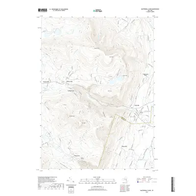
 - 2023 Map of Woodstock, 2023 Print
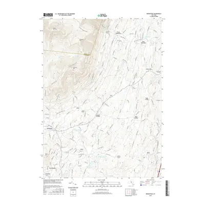
 2023 Woodstock2023 Print · USGSWoodstock and the surrounding Catskill slopes are shown here in recent detail, illustrating the region's managed water systems and mountain terrain. Trace local landmarks like Chestnut Hill Cem, the Saugerties Reservoir, and the Strip In The Woods Airport.
Showing maps 1-25 of 30
Top cities near Hunter
- Kingston historical maps
- Saugerties historical maps
- Ulster historical maps
- Catskill historical maps
- Red Hook historical maps
- Coxsackie historical maps
See more
Top neighborhoods of Hunter
- Elka Park historical maps
- Edgewood historical maps
- Onteora Park historical maps
- Platte Clove Bruderhof historical maps
- Twilight Park historical maps
- Lanesville historical maps
See more
Frequently asked questions
- What are the different types of historical maps available for Hunter?
- What is the oldest map of Hunter?
- Where can I purchase historical maps of Hunter for my home or office?
- Where can I download high-res historical maps of Hunter?
- Are there historical topographic maps available for Hunter?
- Is there historical aerial imagery available for Hunter?
- Where are historical maps of Hunter sourced from?