Old Maps of Russia, New York for Hiking & Exploration
Hike through history with 60 historic maps of Russia. Explore old trails, ghost towns, and forgotten backroads — perfect for outdoor adventurers and local explorers.
- Rediscover forgotten places: Map out old mining camps, roads, and footpaths that no longer exist on modern maps.
- Layer with modern tools: Combine with LiDAR or satellite views to plan hikes through historical terrain.
- Made for exploration: Popular among hikers, overlanders, and local history lovers.
Use these maps to find adventure and explore the hidden past of Russia.
Russia, NY maps
(60)- 1897 Map of Remsen, 1958 Print
 1897 Remsen1958 Print · USGSOneida and Herkimer Counties are shown in the late 19th century as bustling timber and transit hubs before the modernization of the canal system. Local historians can trace the vital rail junctions at Remsen and the water-powered industrial sites like Bardwell Mill and Trenton Falls.
 - 1898 Map of Utica
 1898 Utica1898 Print · USGSThe Mohawk Valley was a powerhouse of industry and transport at the end of the Victorian era. Trace the path of the Erie Canal through Utica, or locate family homesteads near Barker Corners, Sheaf Corners, and Poland.
 - 1900 Map of Little Falls
 1900 Little Falls1900 Print · USGSThe Mohawk River valley serves as a bustling industrial artery at the turn of the century, dominated by canal and rail traffic. Genealogists can trace the early footprints of Little Falls, find the County House, or locate vanished stops like Ingham Mills Sta.
 - 1900 Map of Utica
 1900 Utica1900 Print · USGSThe Mohawk Valley was at its industrial peak at the turn of the century, anchored by the rail and canal nexus of Utica. Genealogists can trace family names through rural crossroads like Martin Corners and Brayton Corners, or follow the industrial sprawl of the Erie Canal into Ilion.9 unique versions available
 - 1900 Map of Remsen
 1900 Remsen1900 Print · USGSOneida and Herkimer Counties at the turn of the century show a landscape shaped by the rail-and-canal economy. Genealogists can trace family roots through settlements like Remsen, Hinckley, and Trenton Falls or locate industrial sites such as Bardwell Mill.9 unique versions available
 - 1903 Map of Little Falls
 1903 Little Falls1903 Print · USGSThe Mohawk Valley was a bustling corridor of industry and transit at the turn of the century, where the river met a network of canals and railroads. Genealogists and historians can trace the foundations of Little Falls, find the historic site of Fort Herkimer, and locate rural landmarks like the County House.6 unique versions available
 - 1939 Map of Little Falls
 1939 Little Falls1939 Print · USGSThe Mohawk Valley was a bustling corridor of rail and water transport just before the mid-century, centered on the narrow gorge at Little Falls. Genealogists and historians can trace the paths of the Adirondack Division railroad and historic sites like Fort Herkimer and Indian Castle.
 - 1943 Map of Newport, 1953 Print
 1943 Newport1953 Print · USGSThe West Canada Valley comes alive in this wartime survey, showing the interconnected rail-and-river economies of Herkimer and Oneida Counties. Genealogists can trace the location of the Irish Settlement, family cemeteries like Bromley Cemetery, and several district schools.3 unique versions available
 - 1943 Map of Middleville, 1960 Print
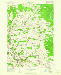 1943 Middleville1960 Print · USGSHerkimer County's rural highlands and the West Canada Creek valley are captured here during the Second World War. Researchers can trace old schoolhouse sites like Dairy Hill Sch and find quiet burying grounds including Sweet Cem and Hardscrabble Cem.3 unique versions available
 - 1945 Map of South Trenton
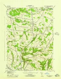 1945 South Trenton1945 Print · USGSOneida County at the end of the war shows a landscape of upland farms and essential early infrastructure. Genealogists and local historians can trace family-named roads like Miller Road and Cruikshank Road, or locate historic sites including Salem Church and the Broadacres Sanatorium.
 - 1945 Map of Newport
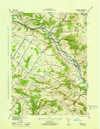 1945 Newport1945 Print · USGSHerkimer County's West Canada Creek valley is shown at its mid-century peak of rural development, tracing the path of the New York Central railroad through Poland and Newport. Genealogists can locate family landmarks like the Irish Settlement, Bromley Cem, and many local schools.
 - 1946 Map of Hinckley
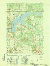 1946 Hinckley1946 Print · USGSUpper Herkimer County in the mid-1940s is defined by the winding waters of the Hinckley Reservoir and the rural crossroads of the Adirondack foothills. Researchers can locate vanished rural landmarks like School No. 4 and the Century Cem, or trace the old roads through Partyville Corners and Grant.4 unique versions available
 - 1946 Map of Middleville
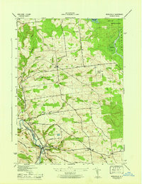 1946 Middleville1946 Print · USGSHerkimer County's dairy country and river valleys are shown in detail during the mid-1940s, highlighting a landscape of upland farms and rural hamlets. Researchers can locate vanished landmarks like Dairy Hill Sch, the high Lookout Tower, and family burial grounds at Hardscrabble Cem.
 - 1946 Map of Remsen
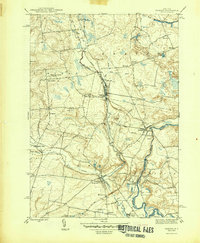 1946 Remsen1946 Print · USGSOneida County at the mid-century reveals a landscape of Welsh chapels and early hydro-power along the West Canada Creek. Researchers can locate family sites near Trenton Barneveld P O or trace the legacy of the Baron Von Steuben Monument.
 - 1946 Map of North Wilmurt, 1958 Print
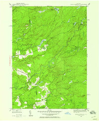 1946 North Wilmurt1958 Print · USGSThe Herkimer and Oneida county line was a landscape of remote camps and small hamlets just after World War II. Researchers can locate family landmarks like the Wheelertown Cem and the settlement of Enos along the banks of the Black River.2 unique versions available
 - 1947 Map of North Wilmurt
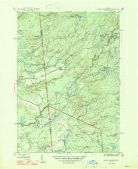 1947 North Wilmurt1947 Print · USGSThe Herkimer and Oneida county borderlands in the late 1940s reveal a network of remote camps and mountain roads within the Adirondack Park. Researchers can trace historic family landmarks such as Wheelertown Cem and old settlements like Enos and North Wilmurt.2 unique versions available
 - 1947 Map of Remsen
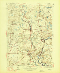 1947 Remsen1947 Print · USGSOneida County in the late nineteen-forties shows a landscape of Welsh chapels, hydroelectric power, and deep-rooted rail history. Genealogists can trace family lines through Sixty Cem and Capel Ysaf Cem, or locate the historic Trenton Barneveld P O and Barneveld Sta.2 unique versions available
 - 1947 Map of Hinckley
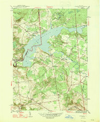 1947 Hinckley1947 Print · USGSThe foothills of the southwest Adirondacks come alive in the mid-forties, centered on the sprawling waters of Hinckley Reservoir. Researchers can trace rural life through vanished schoolhouses like School No 4 and local burials at Century Cem and Gravesville Cem.2 unique versions available
 - 1949 Map of Little Falls
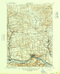 1949 Little Falls1949 Print · USGSHerkimer County's industrial heartland is captured here at mid-century, showcasing the vital Mohawk Valley transit corridor. Researchers can trace the path of the Erie Canal, the Barge Canal, and early rail stops like Ingham Mills Sta. and Dolgeville.
 - 1950 Map of Utica, 1951 Print
 1950 Utica1951 Print · USGSCentral New York in the post-war era showcases the industrial Mohawk Valley and the pristine Adirondack interior. Researchers can trace transportation networks like the New York Central Railroad and find early Cold War sites such as Griffiss Air Force Base.
 - 1955 Map of South Trenton, 1957 Print
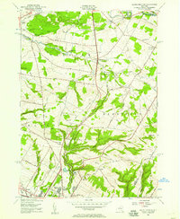 1955 South Trenton1957 Print · USGSThe northern outskirts of Utica meet the rising hills of Oneida County in the mid-fifties, showing a landscape defined by both water and wire. Researchers can trace historic family corridors along Stage Road, locate Salem Ch, or find the grounds of the Broadacres Sanatorium.2 unique versions available
 - 1955 Map of Remsen, 1957 Print
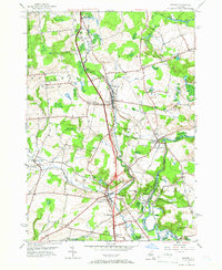 1955 Remsen1957 Print · USGSOneida County's landscape is captured here in the mid-fifties, showing the intersection of the New York Central rail lines and the waters of West Canada Creek. Genealogists can locate many local burial sites and churches, including Capel Isaf Cemetery, Enlli Ch Cemetery, and Penn-Y-Bryn Church.4 unique versions available
 - 1957 Map of Utica
 1957 Utica1957 Print · USGSCentral New York and the Adirondack foothills are captured here in the mid-fifties, showing a landscape defined by the Mohawk River corridor and the growing highway system. Genealogists and researchers can trace the rail lines of the New York Central and locate communities from Lowville to Gloversville.
 - 1962 Map of Utica
 1962 Utica1962 Print · USGSCentral New York and the Adirondack wilderness are captured here during the mid-century era of highway and industrial expansion. Genealogists and historians can trace the development of the New York State Thruway and local rail lines connecting Utica, Rome, and Gloversville.3 unique versions available
 - 1964 Map of Utica
 1964 Utica1964 Print · USGSCentral New York and the high wilderness of the Adirondacks are captured here during the post-war era of infrastructure expansion. Researchers can trace the development of the New York State Thruway alongside historic corridors like the Oneida Lake (Barge Canal Route) and the N. Y. Central railroad.
Showing maps 1-25 of 60
Top cities near Russia
- Utica historical maps
- New Hartford historical maps
- Whitestown historical maps
- Kirkland historical maps
- Herkimer historical maps
- Marcy historical maps
See more
Top neighborhoods of Russia
- Wheelertown historical maps
- Grant historical maps
- Gravesville historical maps
- Northwood historical maps
- Cold Brook historical maps
Frequently asked questions
- What are the different types of historical maps available for Russia?
- What is the oldest map of Russia?
- Where can I purchase historical maps of Russia for my home or office?
- Where can I download high-res historical maps of Russia?
- Are there historical topographic maps available for Russia?
- Is there historical aerial imagery available for Russia?
- Where are historical maps of Russia sourced from?