2000s (21st Century) Maps of Adams Center, Adams
Explore 20 historic maps of Adams Center from the 2000s (21st Century). These maps offer a rare glimpse into what life looked like during the 2000s — showing old roads, neighborhoods, homes, and landmarks that have changed or disappeared over time.
Whether you're researching your family's past, planning a metal detecting trip, or studying how Adams Center's landscape evolved across the 2000s, these high-resolution maps are a powerful tool for exploring the history of this region.
- Focus on a specific era: All maps on this page are from the 2000s, giving you a focused view of this time period.
- See what’s changed: Compare century-old streets, trails, and buildings to today's modern landscape using overlays and satellite layers.
- Research with precision: Use these maps for genealogy, historical research, land use analysis, or educational projects.
- View, download, or print: Maps are fully viewable online in high resolution, and can be downloaded or printed for your own records.
Start exploring Adams Center's history through authentic maps from the 2000s. This is your window into the past.
Adams Center, Adams maps
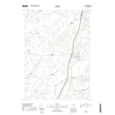
(20)- 2010 Map of Adams, 2010 Print
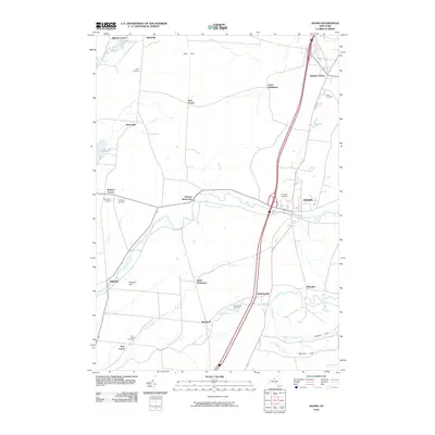 2010 Adams2010 Print · USGSCovers Adams Center, including Adams, Ellisburg, and other nearby areas
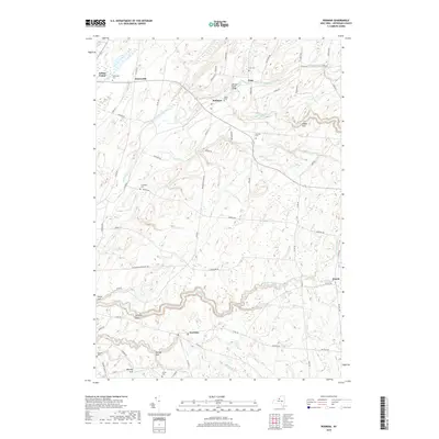
 - 2010 Map of Rodman, 2010 Print
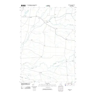 2010 Rodman2010 Print · USGSCovers Adams Center, including Adams, Rodman, and other nearby areas
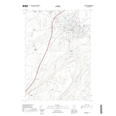
 - 2010 Map of Watertown, 2010 Print
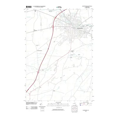 2010 Watertown2010 Print · USGSCovers Adams Center, including Watertown, Watertown, and other nearby areas
 - 2010 Map of Sackets Harbor, 2010 Print
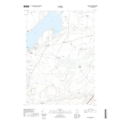
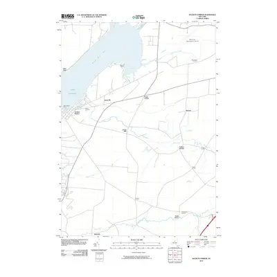 2010 Sackets Harbor2010 Print · USGSCovers Adams Center, including Brownville, Adams, and other nearby areas
 - 2013 Map of Sackets Harbor, 2013 Print
 2013 Sackets Harbor2013 Print · USGSCovers Adams Center, including Brownville, Adams, and other nearby areas
 - 2013 Map of Watertown, 2013 Print
 2013 Watertown2013 Print · USGSCovers Adams Center, including Watertown, Watertown, and other nearby areas
 - 2013 Map of Adams, 2013 Print
 2013 Adams2013 Print · USGSCovers Adams Center, including Adams, Ellisburg, and other nearby areas
 - 2013 Map of Rodman, 2013 Print
 2013 Rodman2013 Print · USGSCovers Adams Center, including Adams, Rodman, and other nearby areas
 - 2016 Map of Rodman, 2016 Print
 2016 Rodman2016 Print · USGSCovers Adams Center, including Adams, Rodman, and other nearby areas
 - 2016 Map of Watertown, 2016 Print
 2016 Watertown2016 Print · USGSCovers Adams Center, including Watertown, Watertown, and other nearby areas
 - 2016 Map of Adams, 2016 Print
 2016 Adams2016 Print · USGSCovers Adams Center, including Adams, Ellisburg, and other nearby areas
 - 2016 Map of Sackets Harbor, 2016 Print
 2016 Sackets Harbor2016 Print · USGSCovers Adams Center, including Brownville, Adams, and other nearby areas
 - 2019 Map of Adams, 2019 Print
 2019 Adams2019 Print · USGSCovers Adams Center, including Adams, Ellisburg, and other nearby areas
 - 2019 Map of Sackets Harbor, 2019 Print
 2019 Sackets Harbor2019 Print · USGSCovers Adams Center, including Brownville, Adams, and other nearby areas
 - 2019 Map of Watertown, 2019 Print
 2019 Watertown2019 Print · USGSCovers Adams Center, including Watertown, Watertown, and other nearby areas
 - 2019 Map of Rodman, 2019 Print
 2019 Rodman2019 Print · USGSCovers Adams Center, including Adams, Rodman, and other nearby areas
 - 2023 Map of Rodman, 2023 Print
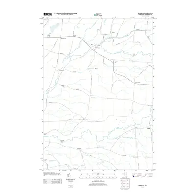
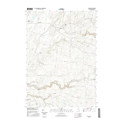
 2023 Rodman2023 Print · USGSJefferson County's rural townships are shown here as they appeared in the early 2020s, defined by the deep ravines of Lorraine Gulf and Inman Gulf. Researchers can locate numerous local burial sites like Isham Cem and Thompson Cem near the villages of Rodman and Lorraine.
 - 2023 Map of Watertown, 2023 Print
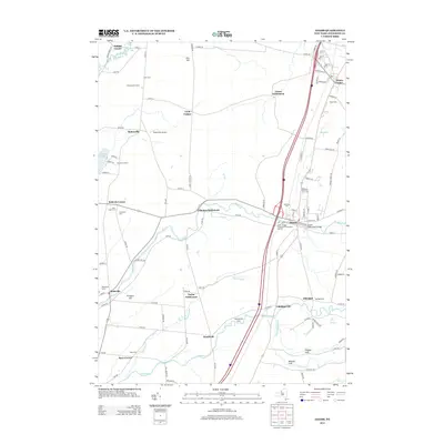
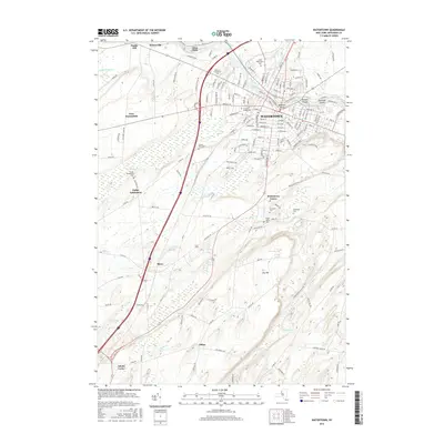
 2023 Watertown2023 Print · USGSWatertown and the Black River corridor are documented here in the early twenty-first century, showing the region's transition from urban center to rural Jefferson County. Researchers can trace family history through sites like North Watertown Cem or locate landmarks such as Talcott Falls and the Dulles State Office Building.
 - 2023 Map of Adams, 2023 Print
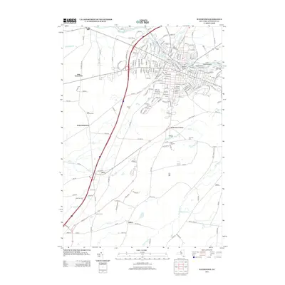
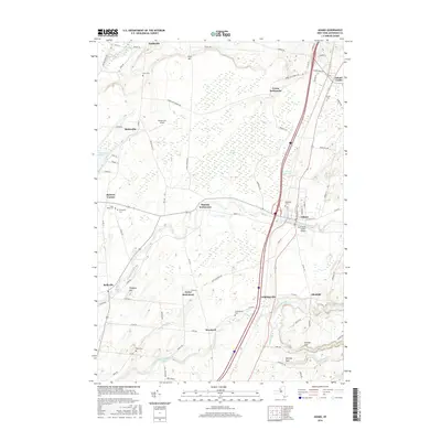
 2023 Adams2023 Print · USGSJefferson County's southern townships are captured here in recent detail, showing the landscape between the village of Adams and Adams Center. Genealogists and local historians can trace family-named sites like Thomas Settlement and burial grounds such as Elmwood Cem and Grow Cem.
 - 2023 Map of Sackets Harbor, 2023 Print
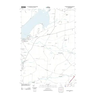
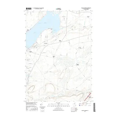
 2023 Sackets Harbor2023 Print · USGSThe Lake Ontario shoreline near Jefferson County comes into focus here, showing the area's transition from early military harbor to modern coastal community. Genealogists and local historians can trace family locations near Sackets Harbor, the Military Cem, and the historic Sulphur Springs settlement.
End of results
Showing maps 1-20 of 20
Top cities near Adams Center
- Le Ray historical maps
- Watertown historical maps
- Watertown historical maps
- Brownville historical maps
- Adams historical maps
- Sandy Creek historical maps
See more
Frequently asked questions
- What are the different types of historical maps available for Adams Center?
- What is the oldest map of Adams Center?
- Where can I purchase historical maps of Adams Center for my home or office?
- Where can I download high-res historical maps of Adams Center?
- Are there historical topographic maps available for Adams Center?
- Is there historical aerial imagery available for Adams Center?
- Where are historical maps of Adams Center sourced from?