2000s (21st Century) Maps of Philadelphia, New York
Explore 25 historic maps of Philadelphia from the 2000s (21st Century). These maps offer a rare glimpse into what life looked like during the 2000s — showing old roads, neighborhoods, homes, and landmarks that have changed or disappeared over time.
Whether you're researching your family's past, planning a metal detecting trip, or studying how Philadelphia's landscape evolved across the 2000s, these high-resolution maps are a powerful tool for exploring the history of this region.
- Focus on a specific era: All maps on this page are from the 2000s, giving you a focused view of this time period.
- See what’s changed: Compare century-old streets, trails, and buildings to today's modern landscape using overlays and satellite layers.
- Research with precision: Use these maps for genealogy, historical research, land use analysis, or educational projects.
- View, download, or print: Maps are fully viewable online in high resolution, and can be downloaded or printed for your own records.
Start exploring Philadelphia's history through authentic maps from the 2000s. This is your window into the past.
Philadelphia, NY maps
(25)- 2010 Map of Philadelphia, 2010 Print
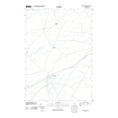 2010 Philadelphia2010 Print · USGSPhiladelphia and the surrounding Wilna countryside are documented here in the early 21st century as the Indian River continues to shape the local landscape. Researchers can locate family landmarks at Bishops Corners and Bentleys Corners, or trace local roots at Quaker Cemetery.
 - 2010 Map of Antwerp, 2010 Print
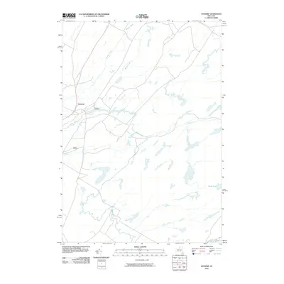 2010 Antwerp2010 Print · USGSAntwerp and the Jefferson County countryside are captured here in the early twenty-first century, centered on the Indian River. Genealogists and local historians can trace the village streets to Hillside Cemetery or follow rural waterways like Matoon Creek and Dority Pond.
 - 2010 Map of Black River, 2010 Print
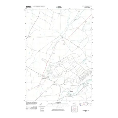 2010 Black River2010 Print · USGSJefferson County’s river valleys and historic crossroads are captured here just before the turn of the decade. Genealogists and local historians can trace family sites at Hoover Cemetery, the grounds of the Leray Mansion, or the early settlement at Dutch Settlement.
 - 2010 Map of Deferiet, 2010 Print
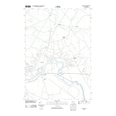 2010 Deferiet2010 Print · USGSThe riverfront communities of Jefferson County are captured here in the early twenty-first century as they interface with military infrastructure. Genealogists and historians can locate F W Woolworth Memorial Cemetery or trace roads through Sterlingville and Doolins Crossing.
 - 2011 Map of Theresa, 2011 Print
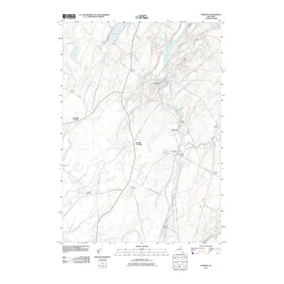 2011 Theresa2011 Print · USGSJefferson County's river-driven landscape is captured here in the early twenty-first century, centered on the historic village of Theresa. Local historians can trace family locations through named sites like Kelsey Bridge Cemetery, Rivergate, and Stroughs Crossing.
 - 2013 Map of Philadelphia, 2013 Print
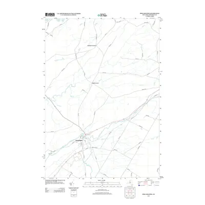 2013 Philadelphia2013 Print · USGSPhiladelphia and its surrounding Jefferson County countryside are captured here in the early twenty-first century as the Indian River winds through the village. Researchers can locate family landmarks like Quaker Cem and Bentleys Corners or trace the boundaries of Fort Drum.
 - 2013 Map of Theresa, 2013 Print
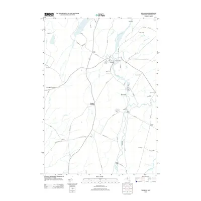 2013 Theresa2013 Print · USGSJefferson County in the early twenty-first century remains a landscape of historic river crossings and small farming hamlets. Researchers can trace local lineage through sites like Kelsey Bridge Cem or explore the junctions at Rivergate and Stroughs Crossing.
 - 2013 Map of Antwerp, 2013 Print
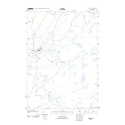 2013 Antwerp2013 Print · USGSJefferson County in the early twenty-first century is defined by the intersection of small-town life and military landscape. Trace family roots in Antwerp near Hillside Cem or follow the paths of the Indian River and Matoon Cr through the borders of Fort Drum.
 - 2013 Map of Deferiet, 2013 Print
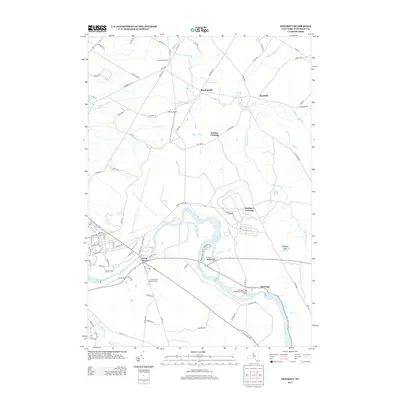 2013 Deferiet2013 Print · USGSThe Black River corridor in Jefferson County was a hive of riverside activity in the early twenty-first century. Genealogists and local historians can trace the foundations of Deferiet, the F W Woolworth Memorial Cem, and crossroads like Sterlingville.
 - 2013 Map of Black River, 2013 Print
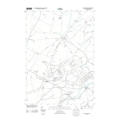 2013 Black River2013 Print · USGSJefferson County's agrarian and riverfront character is captured here in the early twenty-first century. Researchers can trace the heritage of local estates and hamlets through landmarks like Leray Mansion, Dutch Settlement, and Felts Mills.
 - 2016 Map of Antwerp, 2016 Print
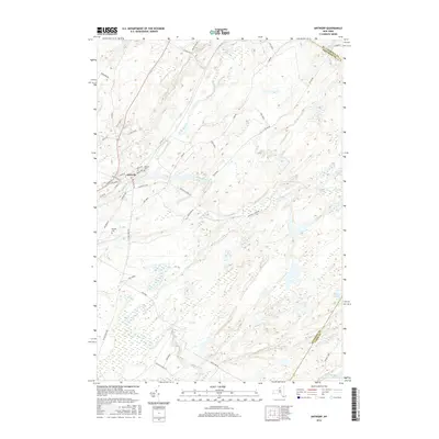 2016 Antwerp2016 Print · USGSThe village of Antwerp and the northern reaches of Fort Drum are captured here in the mid-2010s. Researchers can trace local landmarks like Hillside Cem and follow the paths of the Indian River and Rockwell Cr through this military and rural landscape.
 - 2016 Map of Theresa, 2016 Print
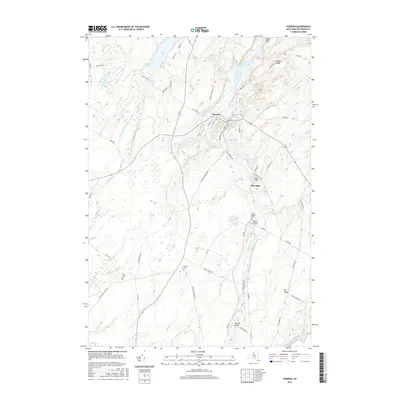 2016 Theresa2016 Print · USGSThe village of Theresa and the hamlet of Rivergate are shown here as they appeared in the mid-2010s along the winding Indian River. Genealogists and historians can locate family burial sites at Van Allen Cem and Kelsey Bridge Cem or trace early roads like Pink School House RD.
 - 2016 Map of Deferiet, 2016 Print
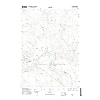 2016 Deferiet2016 Print · USGSJefferson County in the mid-2010s reveals a unique landscape where military readiness and riverside village life exist side-by-side. You can trace the perimeter of Fort Drum, locate the Wheeler-Sack Army Airfield, and find local landmarks like the F W Woolworth Memorial Cem.
 - 2016 Map of Philadelphia, 2016 Print
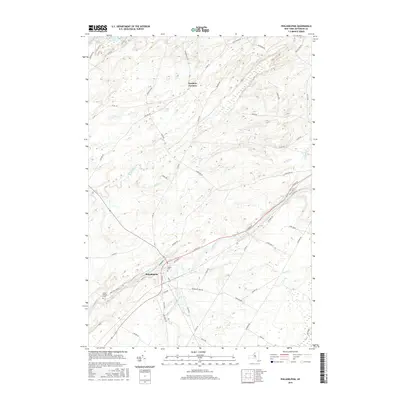 2016 Philadelphia2016 Print · USGSPhiladelphia and the surrounding Jefferson County countryside are documented here in the mid-2010s, showing the intersection of rural life and military geography. Genealogists can locate Quaker Cem and Sandy Hollow Cem or trace family roots near Bentleys Corners.
 - 2016 Map of Black River, 2016 Print
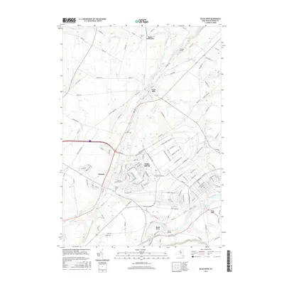 2016 Black River2016 Print · USGSJefferson County in the mid-2010s shows the modern footprint of Fort Drum alongside established villages near the Black River. Researchers can locate several family burial grounds, including Hoover Cem and Sheepfold Cem, and trace the routes connecting Evans Mills to Calcium.
 - 2019 Map of Theresa, 2019 Print
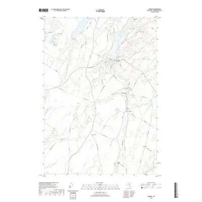 2019 Theresa2019 Print · USGSJefferson County’s rural character is on full display in the village of Theresa and the hamlet of Rivergate during the late 2010s. Researchers can locate family heritage sites at Kelsey Bridge Cem and Van Allen Cem or trace the path of the Rivergate Trail.
 - 2019 Map of Antwerp, 2019 Print
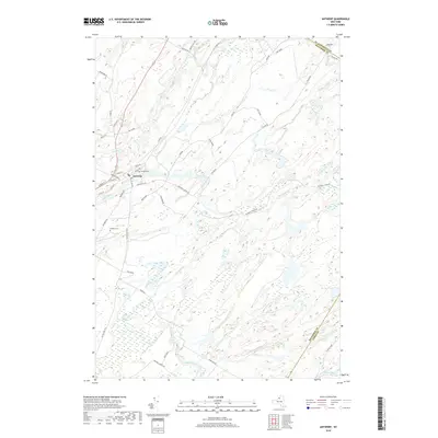 2019 Antwerp2019 Print · USGSAntwerp sits at a historical crossroads in Jefferson County during the late 2010s, bordering the extensive military lands of Northern New York. Researchers can trace local landmarks like Hillside Cem or follow the path of the Indian River as it meanders past Fort Drum.
 - 2019 Map of Deferiet, 2019 Print
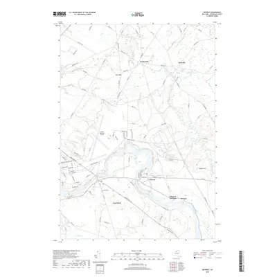 2019 Deferiet2019 Print · USGSJefferson County’s riverfront settlements and military history are preserved here during the late 2010s. Researchers can trace the boundaries of Fort Drum as it surrounds legacy sites like Sterlingville or locate family roots near Sunnyside Cem and Great Bend.
 - 2019 Map of Black River, 2019 Print
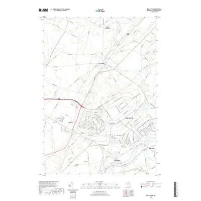 2019 Black River2019 Print · USGSJefferson County’s military and rural history intersect here during the late twenty-tens, where modern army infrastructure meets long-standing frontier settlements. Genealogists can locate Saint Marys Cemetery and the Dutch Settlement or trace the Black River from Felts Mills to Poors Island.
 - 2019 Map of Philadelphia, 2019 Print
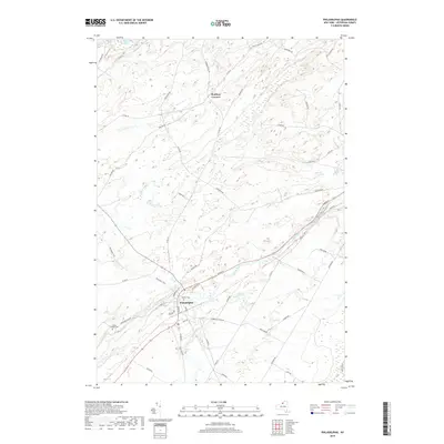 2019 Philadelphia2019 Print · USGSPhiladelphia and the surrounding Jefferson County countryside are shown here in the late 2010s as the local landscape balances military growth and rural tradition. Researchers can locate the Quaker Cem, trace the course of the Indian River, and see the footprint of Fort Drum.
 - 2023 Map of Antwerp, 2023 Print
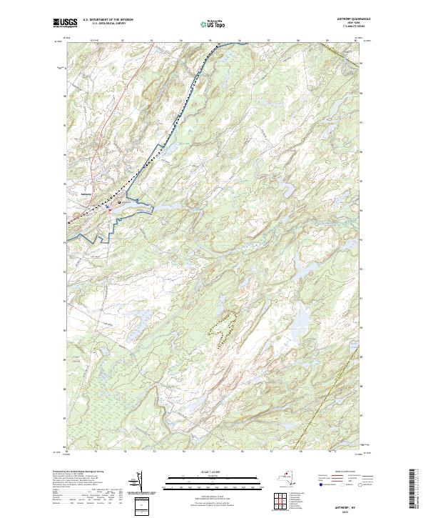 2023 Antwerp2023 Print · USGSThe village of Antwerp and the northern reaches of Fort Drum are mapped here in the early twenty-first century. Genealogists and local historians can trace family plots at Hillside Cem and follow old corridors like Russell Tpke and Nauvoo School Rd.
 - 2023 Map of Philadelphia, 2023 Print
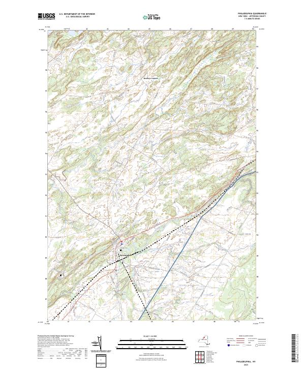 2023 Philadelphia2023 Print · USGSThe village of Philadelphia and the crossroads at Bentleys Corners are shown in this 2023 survey of rural Jefferson County. Genealogists and local historians can locate the Quaker Cem, trace the Indian River to Childs Falls, and see the edge of Fort Drum.
 - 2023 Map of Black River, 2023 Print
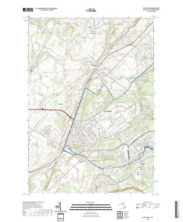 2023 Black River2023 Print · USGSJefferson County's military and industrial history converge in this contemporary study of the area surrounding Fort Drum. Genealogists and historians can trace family locations near Evans Mills, Dutch Settlement, and several rural burial grounds like Hoover Cem.
 - 2023 Map of Deferiet, 2023 Print
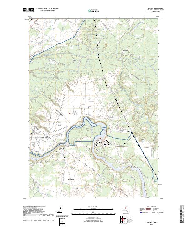 2023 Deferiet2023 Print · USGSThe military and river history of northern New York converge here as the present century progresses. Researchers can trace the boundaries of Fort Drum and find civilian landmarks like Sunnyside Cem, Wheeler-Sack Army Airfield, and the village of Deferiet.
 - 2023 Map of Theresa, 2023 Print
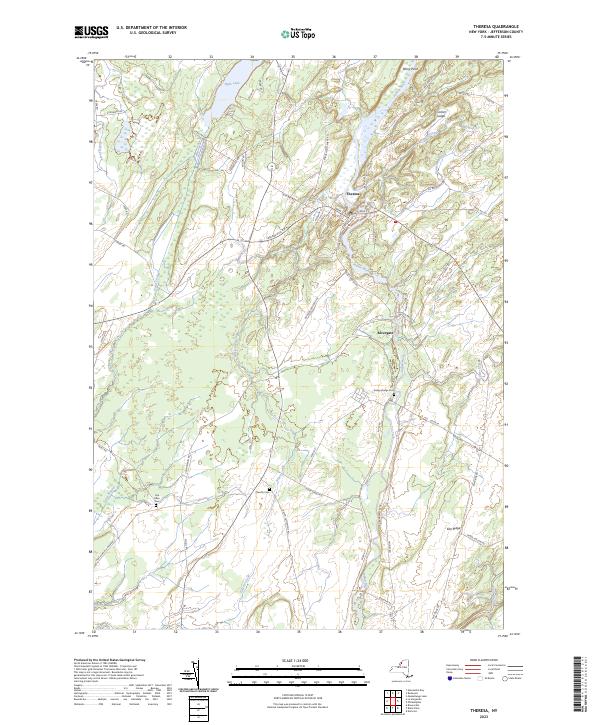 2023 Theresa2023 Print · USGSJefferson County's interior comes into focus in this recent survey of the Indian River valley. Researchers can trace family history through the Van Allen Cem and Chaufty Cem, or explore the rural layout of Theresa and the riverside settlement of Rivergate.
End of results
Showing maps 1-25 of 25
Top cities near Philadelphia
- Le Ray historical maps
- Watertown historical maps
- Gouverneur historical maps
- Watertown historical maps
- Wilna historical maps
- Champion historical maps
See more
Top neighborhoods of Philadelphia
Frequently asked questions
- What are the different types of historical maps available for Philadelphia?
- What is the oldest map of Philadelphia?
- Where can I purchase historical maps of Philadelphia for my home or office?
- Where can I download high-res historical maps of Philadelphia?
- Are there historical topographic maps available for Philadelphia?
- Is there historical aerial imagery available for Philadelphia?
- Where are historical maps of Philadelphia sourced from?