2000s (21st Century) Maps of Keeseville, New York
Explore 20 historic maps of Keeseville from the 2000s (21st Century). These maps offer a rare glimpse into what life looked like during the 2000s — showing old roads, neighborhoods, homes, and landmarks that have changed or disappeared over time.
Whether you're researching your family's past, planning a metal detecting trip, or studying how Keeseville's landscape evolved across the 2000s, these high-resolution maps are a powerful tool for exploring the history of this region.
- Focus on a specific era: All maps on this page are from the 2000s, giving you a focused view of this time period.
- See what’s changed: Compare century-old streets, trails, and buildings to today's modern landscape using overlays and satellite layers.
- Research with precision: Use these maps for genealogy, historical research, land use analysis, or educational projects.
- View, download, or print: Maps are fully viewable online in high resolution, and can be downloaded or printed for your own records.
Start exploring Keeseville's history through authentic maps from the 2000s. This is your window into the past.
Keeseville, NY maps
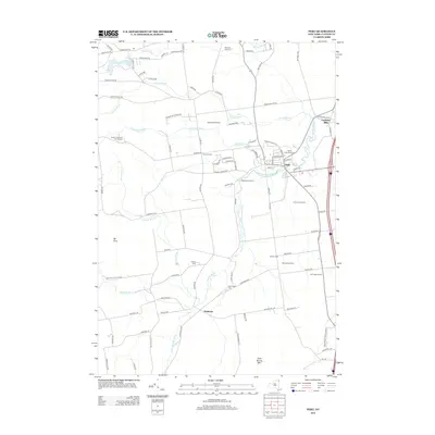
(20)- 2010 Map of Peru, 2010 Print
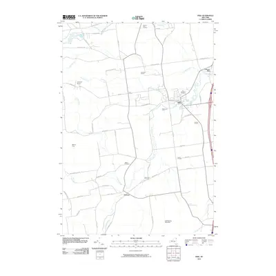 2010 Peru2010 Print · USGSCovers Keeseville, including Peru, Schuyler Falls, and other nearby areas
 - 2010 Map of Clintonville, 2010 Print
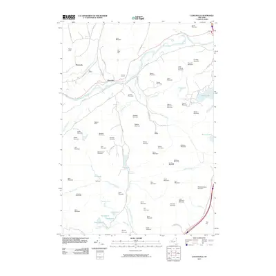 2010 Clintonville2010 Print · USGSCovers Keeseville, including AuSable, Jay, and other nearby areas
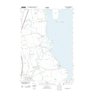
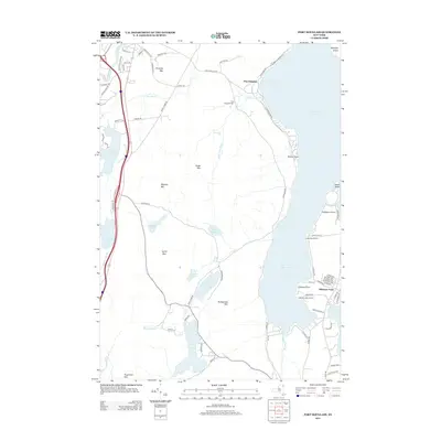
 - 2010 Map of Port Douglass, 2010 Print
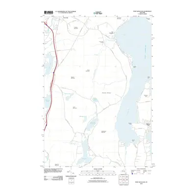 2010 Port Douglass2010 Print · USGSCovers Keeseville, including AuSable, Chesterfield, and other nearby areas
 - 2011 Map of Keeseville, 2011 Print
 2011 Keeseville2011 Print · USGSCovers Keeseville, including Plattsburgh, Peru, and other nearby areas
 - 2013 Map of Peru, 2013 Print
 2013 Peru2013 Print · USGSCovers Keeseville, including Peru, Schuyler Falls, and other nearby areas
 - 2013 Map of Keeseville, 2013 Print
 2013 Keeseville2013 Print · USGSCovers Keeseville, including Plattsburgh, Peru, and other nearby areas
 - 2013 Map of Port Douglass, 2013 Print
 2013 Port Douglass2013 Print · USGSCovers Keeseville, including AuSable, Chesterfield, and other nearby areas
 - 2013 Map of Clintonville, 2013 Print
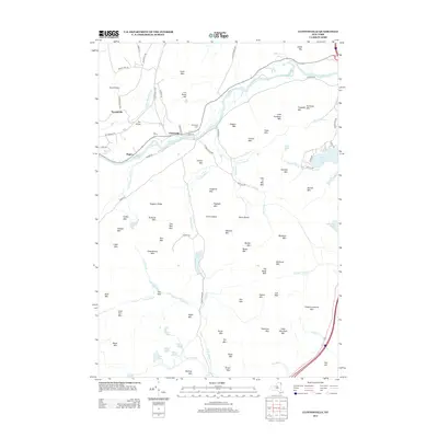 2013 Clintonville2013 Print · USGSCovers Keeseville, including AuSable, Jay, and other nearby areas
 - 2016 Map of Keeseville, 2016 Print
 2016 Keeseville2016 Print · USGSCovers Keeseville, including Plattsburgh, Peru, and other nearby areas
 - 2016 Map of Peru, 2016 Print
 2016 Peru2016 Print · USGSCovers Keeseville, including Peru, Schuyler Falls, and other nearby areas
 - 2016 Map of Clintonville, 2016 Print
 2016 Clintonville2016 Print · USGSCovers Keeseville, including AuSable, Jay, and other nearby areas
 - 2016 Map of Port Douglass, 2016 Print
 2016 Port Douglass2016 Print · USGSCovers Keeseville, including AuSable, Chesterfield, and other nearby areas
 - 2019 Map of Keeseville, 2019 Print
 2019 Keeseville2019 Print · USGSCovers Keeseville, including Plattsburgh, Peru, and other nearby areas
 - 2019 Map of Port Douglass, 2019 Print
 2019 Port Douglass2019 Print · USGSCovers Keeseville, including AuSable, Chesterfield, and other nearby areas
 - 2019 Map of Peru, 2019 Print
 2019 Peru2019 Print · USGSCovers Keeseville, including Peru, Schuyler Falls, and other nearby areas
 - 2019 Map of Clintonville, 2019 Print
 2019 Clintonville2019 Print · USGSCovers Keeseville, including AuSable, Jay, and other nearby areas
 - 2023 Map of Peru, 2023 Print
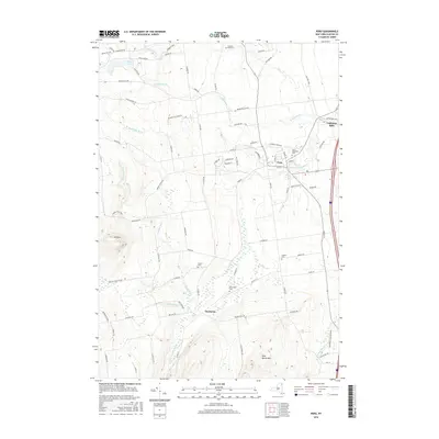
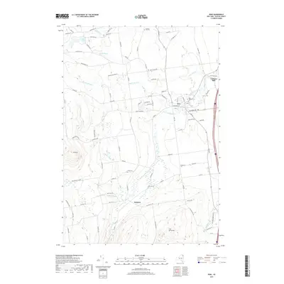
 2023 Peru2023 Print · USGSClinton County in the early twenty-first century reveals a landscape shaped by the Little Ausable River and Adirondack foothills. Researchers can trace historic lineages through Quaker Cem or explore the quiet reaches of Macomb Reservation State Park and Harkness.
 - 2023 Map of Keeseville, 2023 Print
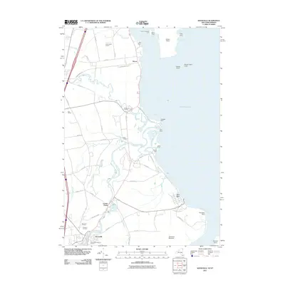
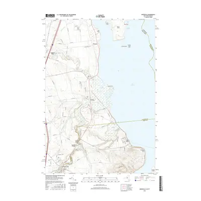
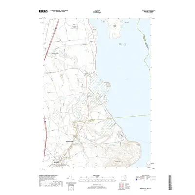
 2023 Keeseville2023 Print · USGSLake Champlain's western shore comes alive in this survey of the northern Adirondack foothills and the Ausable River delta. Researchers can trace historic cemeteries like Blockhouse Cem, the iconic geology of Ausable Chasm, and the quiet waterfront at Port Kent.
 - 2023 Map of Port Douglass, 2023 Print
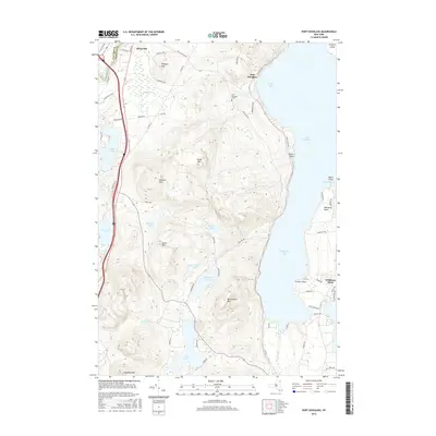
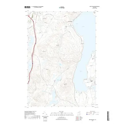
 2023 Port Douglass2023 Print · USGSThe Lake Champlain shoreline meets the Adirondack foothills in this contemporary Essex County study. Researchers can trace the lineage of Keeseville and Port Douglass or locate family sites near Port Douglass Cem and Highlands Forge Lake.
 - 2023 Map of Clintonville, 2023 Print
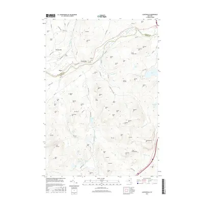
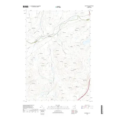
 2023 Clintonville2023 Print · USGSThe Ausable River valley comes into sharp focus in this recent survey of the Clinton and Essex County border. Genealogists and hikers can trace old valley roads to sites like Clintonville Old Cem or follow the Ranger Trl toward Pokamoonshine Mountain.
End of results
Showing maps 1-20 of 20
Top cities near Keeseville
- Burlington historical maps
- South Burlington historical maps
- Plattsburgh historical maps
- Colchester historical maps
- Plattsburgh historical maps
- Shelburne historical maps
See more
Frequently asked questions
- What are the different types of historical maps available for Keeseville?
- What is the oldest map of Keeseville?
- Where can I purchase historical maps of Keeseville for my home or office?
- Where can I download high-res historical maps of Keeseville?
- Are there historical topographic maps available for Keeseville?
- Is there historical aerial imagery available for Keeseville?
- Where are historical maps of Keeseville sourced from?