2010s Maps of Kings County, New York
Explore 24 historic maps of Kings County from the 2010s. These maps offer a rare glimpse into what life looked like during the 2010s — showing old roads, neighborhoods, homes, and landmarks that have changed or disappeared over time.
Whether you're researching your family's past, planning a metal detecting trip, or studying how Kings County's landscape evolved across the 2010s, these high-resolution maps are a powerful tool for exploring the history of this region.
- Focus on a specific era: All maps on this page are from the 2010s, giving you a focused view of this time period.
- See what’s changed: Compare century-old streets, trails, and buildings to today's modern landscape using overlays and satellite layers.
- Research with precision: Use these maps for genealogy, historical research, land use analysis, or educational projects.
- View, download, or print: Maps are fully viewable online in high resolution, and can be downloaded or printed for your own records.
Start exploring Kings County's history through authentic maps from the 2010s. This is your window into the past.
Kings County, NY maps
(24)- 2010 Map of Coney Island, 2010 Print
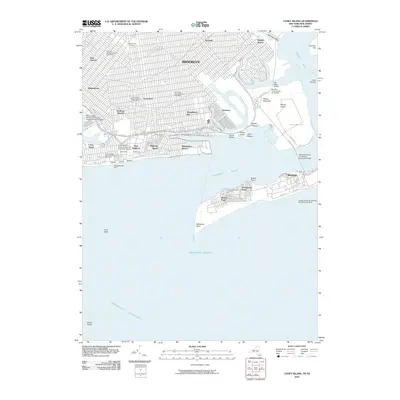 2010 Coney Island2010 Print · USGSCoastal Brooklyn and the Rockaway Peninsula are shown in great detail during the early twenty-first century. Researchers can trace the layout of Coney Island landmarks like Astroland or locate specific neighborhood services from Washington Cemetery to Floyd Bennett Field.
 - 2010 Map of Jamaica, 2010 Print
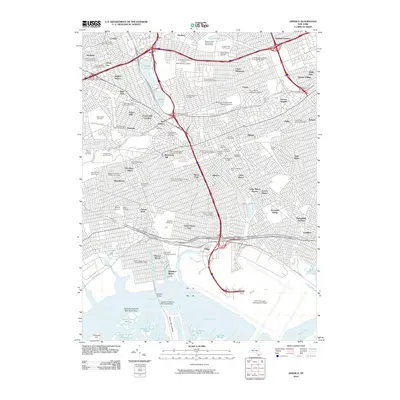 2010 Jamaica2010 Print · USGSQueens is shown in high detail during its contemporary development, featuring a massive grid of neighborhoods from Forest Hills to Laurelton. Genealogists and historians can locate dozens of historic sites like Grace Cemetery, the Aqueduct Racetrack, and the sprawling Holban Yards.
 - 2010 Map of Brooklyn, 2010 Print
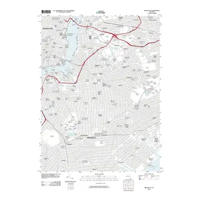 2010 Brooklyn2010 Print · USGSNew York City at the start of the 2010s shows the enduring infrastructure of the boroughs, from industrial Long Island City to Flatbush. Genealogists and historians can trace neighborhood boundaries and burial sites like Green-Wood Cemetery or the Cemetery of the Holy Cross.
 - 2011 Map of Jersey City, 2011 Print
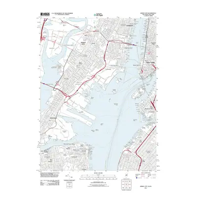 2011 Jersey City2011 Print · USGSThe industrial harbor and urban neighborhoods of North Jersey and New York City are shown in meticulous detail during the early 2010s. Researchers can trace historical transit hubs and maritime sites like the Hoboken Terminal, Robbins Reef Light, and Saint Paul's Churchyard.
 - 2011 Map of The Narrows, 2011 Print
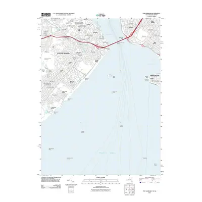 2011 The Narrows2011 Print · USGSCoastal defenses and harbor life define this 2011 survey of the gateway between Brooklyn and Staten Island. Researchers can trace historic cemeteries such as Moravian Cemetery and Old New Utrecht Cemetery or locate the various shipping piers from Pier 19 to Pier 25.
 - 2012 Map of Far Rockaway, 2012 Print
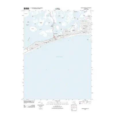 2012 Far Rockaway2012 Print · USGSThe Rockaway Peninsula and Jamaica Bay are captured here in the early 2010s, showing a landscape of dense residential grids and coastal marshlands. Trace the street layouts of Far Rockaway, Arverne, and Broad Channel alongside landmarks like the Arverne Incinerator.
 - 2013 Map of The Narrows, 2013 Print
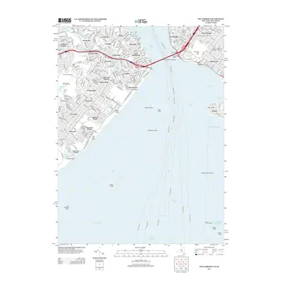 2013 The Narrows2013 Print · USGSThe Narrows and the harbor mouth are captured here in the early twenty-first century, showing the established neighborhoods of Staten Island and Brooklyn. Researchers can locate numerous historic burial sites like Old Utrecht Cem, the military grounds of Fort Wadsworth, and the transit corridor of Old Town Station.
 - 2013 Map of Jamaica, 2013 Print
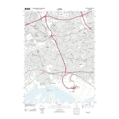 2013 Jamaica2013 Print · USGSQueens in the early twenty-first century is captured here as a sprawling metropolis defined by major transit arteries and distinct neighborhoods. Researchers can trace local landmarks from John F Kennedy International Airport to the historic Saint Monica's Cem and the iconic Aqueduct Racetrack.
 - 2013 Map of Brooklyn, 2013 Print
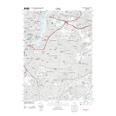 2013 Brooklyn2013 Print · USGSBrooklyn and the Lower East Side appear here in the early twenty-first century, showing the dense intersection of transit, industry, and neighborhood life. Genealogists and historians can locate numerous burial grounds like Cypress Hills National Cem or trace landmarks from Prospect Park to Medgar Evers College.
 - 2013 Map of Far Rockaway, 2013 Print
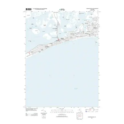 2013 Far Rockaway2013 Print · USGSThe Rockaway Peninsula and Jamaica Bay are captured in detail during the early twenty-first century. Genealogists and local historians can trace residential blocks from Neponsit to Far Rockaway and locate landmarks like Edgemere Houses or the Broad Channel community.
 - 2013 Map of Coney Island, 2013 Print
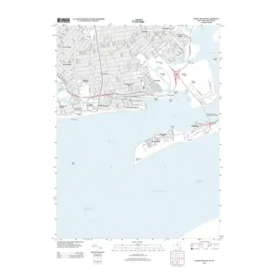 2013 Coney Island2013 Print · USGSSouthern Brooklyn and the Rockaway Peninsula are shown in 2013, depicting the modern character of these legendary coastal neighborhoods. Researchers can trace the transit network at the Coney Island Terminal or locate sites from Sheepshead Bay to Floyd Bennett Field.
 - 2014 Map of Jersey City, 2014 Print
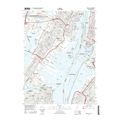 2014 Jersey City2014 Print · USGSUpper New York Bay and the industrial waterfronts of Jersey City appear in high detail during the mid-2010s. Researchers can trace historic sites like Ellis Island and Liberty Island or locate genealogy resources like Saint Peters Cem and Sailors Snug Harbor Cem.
 - 2016 Map of The Narrows, 2016 Print
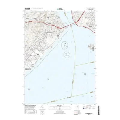 2016 The Narrows2016 Print · USGSThe maritime gateway of New York Harbor is captured here in the mid-2010s, detailing the urban landscape from Staten Island to Brooklyn. Researchers can trace historic burial grounds like Moravian Cem, identify transit points at Old Town Station, and explore the shoreline from South Beach to Seagate.
 - 2016 Map of Far Rockaway, 2016 Print
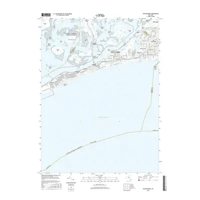 2016 Far Rockaway2016 Print · USGSThe Rockaway Peninsula and Jamaica Bay are captured here in the mid-2010s, showing the dense urban neighborhoods and intricate marshlands of the outer coast. Researchers can trace street-level detail in Far Rockaway, locate Medrash Heichal Dovid, or examine the preservation of Gateway National Recreation Area.
 - 2016 Map of Coney Island, 2016 Print
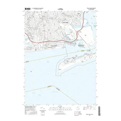 2016 Coney Island2016 Print · USGSThe Brooklyn and Queens waterfronts are shown here in great detail during the mid-2010s. Trace the dense urban fabric of Gravesend and Bensonhurst out to the iconic sands of Coney Island and the isolated peninsula of Breezy Point.
 - 2016 Map of Brooklyn, 2016 Print
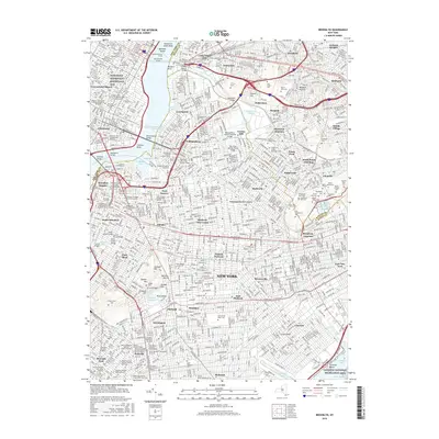 2016 Brooklyn2016 Print · USGSGreater Brooklyn and western Queens appear in high detail during the mid-2010s, showing a densely populated landscape of historic neighborhoods and industrial corridors. Researchers can trace institutional roots at Green-Wood Cem, Bushwick Junction, and the numerous rabbinical colleges of Williamsburg.
 - 2016 Map of Jamaica, 2016 Print
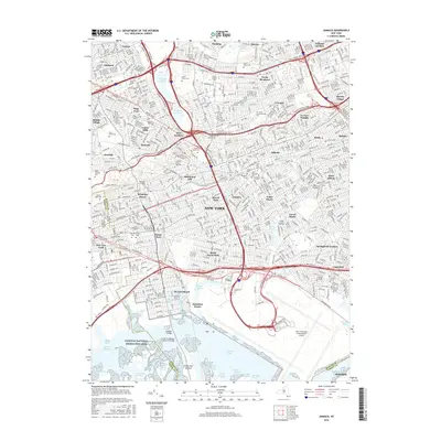 2016 Jamaica2016 Print · USGSThe borough of Queens is shown here in its modern complexity, from the marshes of Jamaica Bay to the busy terminals of John F Kennedy International Airport. Genealogists and historians can locate legacy landmarks like Maple Grove Cem, Saint Johns Cem, and Cuny Queens Coll amidst the urban grid.
 - 2016 Map of Jersey City, 2016 Print
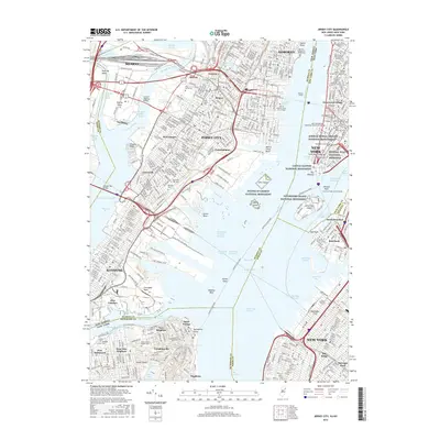 2016 Jersey City2016 Print · USGSThe harbor and urban core of the tri-state region are captured here in the mid-2010s, showing the intricate connections between Lower Manhattan and the New Jersey waterfront. Researchers can trace historic sites like the African Burial Ground National Monument or find family landmarks like Sailors Snug Harbor Cem.
 - 2019 Map of The Narrows, 2019 Print
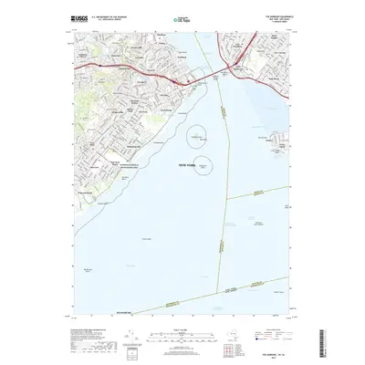 2019 The Narrows2019 Print · USGSStaten Island and the Brooklyn shore meet at the harbor entrance in this 2019 survey of the city's coastal edge. Genealogists and historians can trace the grounds of Fort Hamilton, the Old New Utrecht Cem, and the historic transit link at Old Town Station.
 - 2019 Map of Coney Island, 2019 Print
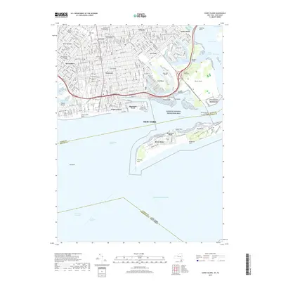 2019 Coney Island2019 Print · USGSThe Brooklyn and Queens waterfront is documented here in the 21st century, showing the dense residential streets and shifting shorelines of Coney Island. Local researchers can trace the locations of Washington Cem, Plumb Island, and the modern campus of Kingsborough Community College.
 - 2019 Map of Jamaica, 2019 Print
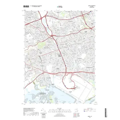 2019 Jamaica2019 Print · USGSThe Queens neighborhoods of Jamaica and Forest Hills are mapped here in the late 2010s, showing a landscape of dense urban grids and major transit hubs. Researchers can trace local history through the Wyckoff-Snediker Family Cem and the Jamaica Courthouse.
 - 2019 Map of Brooklyn, 2019 Print
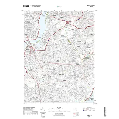 2019 Brooklyn2019 Print · USGSModern Brooklyn and Queens come alive in this recent survey of the New York metropolitan area. Researchers can trace family ties through Cypress Hills National Cemetery or locate historic sites like the Ridgewood Masonic Temple.
 - 2019 Map of Far Rockaway, 2019 Print
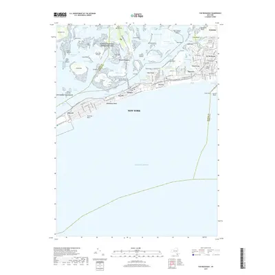 2019 Far Rockaway2019 Print · USGSThe Rockaway peninsula and Jamaica Bay are shown in detail during the late 2010s, revealing a landscape defined by urban density and coastal wetlands. Researchers can trace the Long Island RR through neighborhoods like Arverne and Edgemere or locate landmarks such as the Cross Bay Veterans Memorial Bridge.
 - 2019 Map of Jersey City, 2019 Print
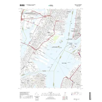 2019 Jersey City2019 Print · USGSThe harbor of New York and Jersey City is captured here in the late 2010s, showing the dense urban core and its vital maritime channels. Researchers can trace historic sites like Federal Hall National Memorial and find family records in Bayview Cem or Sailors Snug Harbor Cem.
End of results
Showing maps 1-24 of 24
Frequently asked questions
- What are the different types of historical maps available for Kings County?
- What is the oldest map of Kings County?
- Where can I purchase historical maps of Kings County for my home or office?
- Where can I download high-res historical maps of Kings County?
- Are there historical topographic maps available for Kings County?
- Is there historical aerial imagery available for Kings County?
- Where are historical maps of Kings County sourced from?