2000s (21st Century) Maps of Pendleton, New York
Explore 20 historic maps of Pendleton from the 2000s (21st Century). These maps offer a rare glimpse into what life looked like during the 2000s — showing old roads, neighborhoods, homes, and landmarks that have changed or disappeared over time.
Whether you're researching your family's past, planning a metal detecting trip, or studying how Pendleton's landscape evolved across the 2000s, these high-resolution maps are a powerful tool for exploring the history of this region.
- Focus on a specific era: All maps on this page are from the 2000s, giving you a focused view of this time period.
- See what’s changed: Compare century-old streets, trails, and buildings to today's modern landscape using overlays and satellite layers.
- Research with precision: Use these maps for genealogy, historical research, land use analysis, or educational projects.
- View, download, or print: Maps are fully viewable online in high resolution, and can be downloaded or printed for your own records.
Start exploring Pendleton's history through authentic maps from the 2000s. This is your window into the past.
Pendleton, NY maps
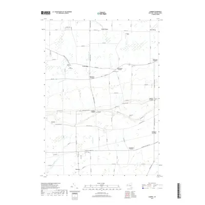
(20)- 2010 Map of Cambria, 2010 Print
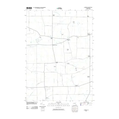 2010 Cambria2010 Print · USGSCovers Pendleton, including Lockport, Wheatfield, and other nearby areas
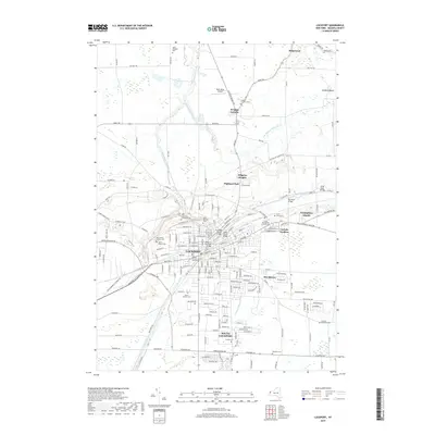
 - 2010 Map of Lockport, 2010 Print
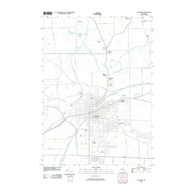 2010 Lockport2010 Print · USGSCovers Pendleton, including Lockport, Lockport, and other nearby areas
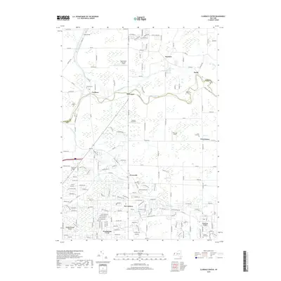
 - 2010 Map of Clarence Center, 2010 Print
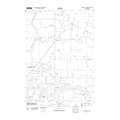 2010 Clarence Center2010 Print · USGSCovers Pendleton, including Amherst, Clarence, and other nearby areas
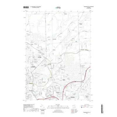
 - 2010 Map of Tonawanda East, 2010 Print
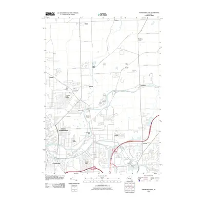 2010 Tonawanda East2010 Print · USGSCovers Pendleton, including Amherst, Tonawanda, and other nearby areas
 - 2013 Map of Tonawanda East, 2013 Print
 2013 Tonawanda East2013 Print · USGSCovers Pendleton, including Amherst, Tonawanda, and other nearby areas
 - 2013 Map of Cambria, 2013 Print
 2013 Cambria2013 Print · USGSCovers Pendleton, including Lockport, Wheatfield, and other nearby areas
 - 2013 Map of Lockport, 2013 Print
 2013 Lockport2013 Print · USGSCovers Pendleton, including Lockport, Lockport, and other nearby areas
 - 2013 Map of Clarence Center, 2013 Print
 2013 Clarence Center2013 Print · USGSCovers Pendleton, including Amherst, Clarence, and other nearby areas
 - 2016 Map of Tonawanda East, 2016 Print
 2016 Tonawanda East2016 Print · USGSCovers Pendleton, including Amherst, Tonawanda, and other nearby areas
 - 2016 Map of Cambria, 2016 Print
 2016 Cambria2016 Print · USGSCovers Pendleton, including Lockport, Wheatfield, and other nearby areas
 - 2016 Map of Lockport, 2016 Print
 2016 Lockport2016 Print · USGSCovers Pendleton, including Lockport, Lockport, and other nearby areas
 - 2016 Map of Clarence Center, 2016 Print
 2016 Clarence Center2016 Print · USGSCovers Pendleton, including Amherst, Clarence, and other nearby areas
 - 2019 Map of Cambria, 2019 Print
 2019 Cambria2019 Print · USGSCovers Pendleton, including Lockport, Wheatfield, and other nearby areas
 - 2019 Map of Lockport, 2019 Print
 2019 Lockport2019 Print · USGSCovers Pendleton, including Lockport, Lockport, and other nearby areas
 - 2019 Map of Clarence Center, 2019 Print
 2019 Clarence Center2019 Print · USGSCovers Pendleton, including Amherst, Clarence, and other nearby areas
 - 2019 Map of Tonawanda East, 2019 Print
 2019 Tonawanda East2019 Print · USGSCovers Pendleton, including Amherst, Tonawanda, and other nearby areas
 - 2023 Map of Cambria, 2023 Print
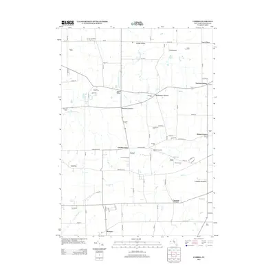
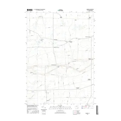
 2023 Cambria2023 Print · USGSNiagara County rural life is captured here in the early 2020s, showcasing a landscape of established hamlets and deep family roots. Researchers can locate numerous historical burial sites like Hillside Cem of Cambria and the North Ridge Cem near Cambria Center.
 - 2023 Map of Clarence Center, 2023 Print
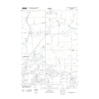
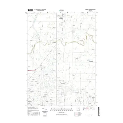
 2023 Clarence Center2023 Print · USGSClarence Center and the surrounding Erie County suburbs appear in great detail during the early twenty-first century. Researchers can locate family sites at Saint Pauls Cem, trace the Erie Canal, or explore the airfield at Clarence Aerodrome.
 - 2023 Map of Lockport, 2023 Print
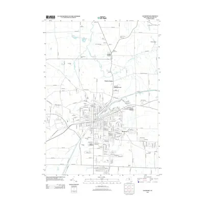
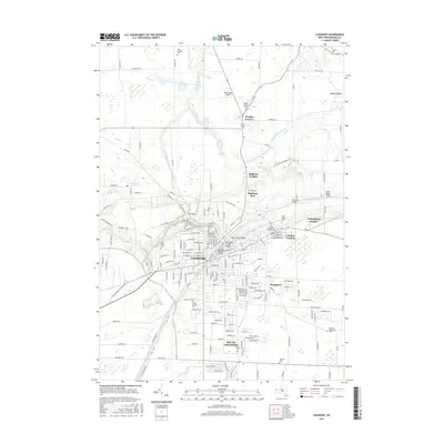
 2023 Lockport2023 Print · USGSNiagara County's canal-driven landscape is captured here, centered on the urban core of Lockport and its surrounding suburban communities. Researchers can trace historic cemeteries like Glenwood Cem or locate civic landmarks such as the Niagara County Courthouse and Bent-Wing Airport.
 - 2023 Map of Tonawanda East, 2023 Print
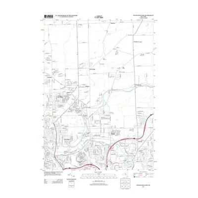
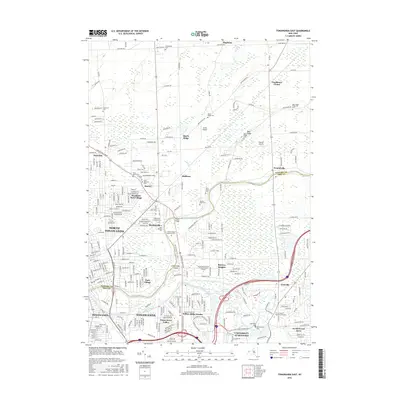
 2023 Tonawanda East2023 Print · USGSThe Niagara-Erie county line comes into focus here along the winding path of Tonawanda Creek in the 2020s. Researchers can trace the development of suburban enclaves like Wurlitzer Park Village and Willow Ridge Estates alongside the massive University at Buffalo campus.
End of results
Showing maps 1-20 of 20
Top cities near Pendleton
- Buffalo historical maps
- Amherst historical maps
- Cheektowaga historical maps
- Tonawanda historical maps
- Niagara Falls historical maps
- West Seneca historical maps
See more
Top neighborhoods of Pendleton
- Beach Ridge historical maps
- Pendleton Center historical maps
- Wendelville historical maps
- Mapleton historical maps
Frequently asked questions
- What are the different types of historical maps available for Pendleton?
- What is the oldest map of Pendleton?
- Where can I purchase historical maps of Pendleton for my home or office?
- Where can I download high-res historical maps of Pendleton?
- Are there historical topographic maps available for Pendleton?
- Is there historical aerial imagery available for Pendleton?
- Where are historical maps of Pendleton sourced from?