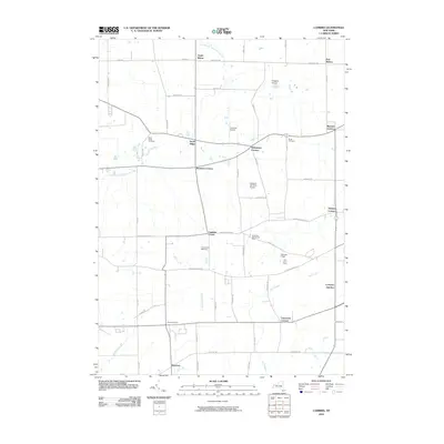
2010 Map of Cambria
USGS Topo · Published 2010About this map
Molyneaux Corners and Streeters Corners anchor a landscape defined by long-standing agricultural roots and crossroads hamlets in Niagara County. This 2010 survey illustrates the area's transition into the twenty-first century, where traditional sites like the Blackman Homestead Farm and Ellis Fruit Farm persist alongside modern aviation hubs such as Hibbards Airport and the Lockport Cambria Airport. The road network follows a strict grid, yet the presence of North Ridge Cemetery and Budd Cemetery provides tangible links to the early families who settled these rural tracts.
Find a feature on this map
52 named features on this map. Tap any name to fly to it.
Don’t see what you’re looking for? This feature index may not catch every label — zoom into the map to look around manually.
Map Details
Editions of this 2010 Cambria Map
This is the sole edition of this map. No revisions or reprints were ever made.
Other maps of this area

1894 · Wilson
USGS Topo · 1:62,500

1897 · Tonawanda
USGS Topo · 1:62,500

1897 · Olcott
USGS Topo · 1:62,500

1897 · Lockport
USGS Topo · 1:62,500

1899 · Niagara
USGS Topo · 1:125,000

1900 · Wilson
USGS Topo · 1:62,500

1900 · Tonawanda
USGS Topo · 1:62,500

1901 · Tonawanda
USGS Topo · 1:62,500

1902 · Lockport
USGS Topo · 1:62,500

1905 · Lockport
USGS Topo · 1:62,500