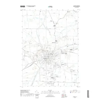
2019 Map of Lockport
USGS Topo · Published 2019About this map
The Erie Canal carves through the heart of Lockport, serving as the defining industrial and topographical spine of this Niagara County landscape. The town's historic infrastructure is documented through several crossings, including the Lockport Railroad Bridge, the Exchange Street Bridge, and the Adam Street Bridge. Surrounding the central business district near the Niagara County Courthouse, the residential layout extends into established neighborhoods like Carlisle Gardens and Nottingham Estates.
Find a feature on this map
69 named features on this map. Tap any name to fly to it.
Don’t see what you’re looking for? This feature index may not catch every label — zoom into the map to look around manually.
Map Details
Editions of this 2019 Lockport Map
This is the sole edition of this map. No revisions or reprints were ever made.
Other maps of this area

1894 · Wilson
USGS Topo · 1:62,500

1897 · Tonawanda
USGS Topo · 1:62,500

1897 · Olcott
USGS Topo · 1:62,500

1897 · Lockport
USGS Topo · 1:62,500

1899 · Niagara
USGS Topo · 1:125,000

1900 · Wilson
USGS Topo · 1:62,500

1900 · Tonawanda
USGS Topo · 1:62,500

1901 · Tonawanda
USGS Topo · 1:62,500

1902 · Lockport
USGS Topo · 1:62,500

1905 · Lockport
USGS Topo · 1:62,500