Old Maps of Sanborn, New York for Hiking & Exploration
Hike through history with 25 historic maps of Sanborn. Explore old trails, ghost towns, and forgotten backroads — perfect for outdoor adventurers and local explorers.
- Rediscover forgotten places: Map out old mining camps, roads, and footpaths that no longer exist on modern maps.
- Layer with modern tools: Combine with LiDAR or satellite views to plan hikes through historical terrain.
- Made for exploration: Popular among hikers, overlanders, and local history lovers.
Use these maps to find adventure and explore the hidden past of Sanborn.
Sanborn, NY maps
(25)- 1897 Map of Tonawanda
 1897 Tonawanda1897 Print · USGSNiagara and Erie counties thrived at the close of the nineteenth century as vital corridors of commerce. Genealogists and historians can trace the early rail networks through Pekin or locate riverside landmarks like Sour Spring Grove and the Erie Canal.
 - 1899 Map of Niagara
 1899 Niagara1899 Print · USGSThe Niagara Frontier is mapped here in the late nineteenth century as a bustling corridor of trade and transport. Researchers can trace the path of the Erie Canal through Lockport or locate early rural settlements like Ransomville and the Tuscarora Indian Reservation.6 unique versions available
 - 1900 Map of Tonawanda
 1900 Tonawanda1900 Print · USGSNiagara County and northern Erie County are shown at the turn of the century as the Erie Canal and heavy rail lines drove the growth of the North Tonawanda lumber and shipping hub. Genealogists can trace family footprints in outlying hamlets like Bergholtz, Ransomville, and Martinsville.
 - 1901 Map of Tonawanda
 1901 Tonawanda1901 Print · USGSAt the turn of the century, the Niagara Frontier was a powerhouse of canal and rail transit. Genealogists can trace family footprints in settlements like Sanborn, Martinsville, and Bergholtz, or follow the original path of the ERIE CANAL through Tonawanda.7 unique versions available
 - 1948 Map of Tonawanda, 1953 Print
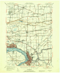 1948 Tonawanda1953 Print · USGSNiagara and Erie counties are shown here just after the war, where the Niagara River meets the historic Erie Canal. Genealogists and local historians can trace the early layout of North Tonawanda or locate family sites at Molyneaux Corners and Colonial Village.3 unique versions available
 - 1949 Map of Cambria
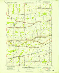 1949 Cambria1949 Print · USGSNiagara County's rural landscape is captured here in the late 1940s, highlighting the dramatic transition of the escarpment and the rail-fed agriculture of the era. Genealogists and historians can trace several named crossroads and early district schools, from Molyneaux Corners to School No 9 and the historic St Andrews Sch.
 - 1950 Map of Ransomville
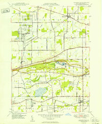 1950 Ransomville1950 Print · USGSMid-century Niagara County is captured here at a time when the Tuscarora Indian Reservation and the New York Central Railroad defined the local landscape. Genealogists can trace family footprints through numerous rural landmarks like St Michaels Cem, Model City, and School No 11.
 - 1952 Map of Toronto, 1954 Print
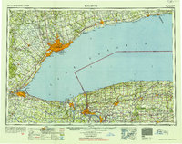 1952 Toronto1954 Print · USGSLake Ontario and the international border define this mid-century landscape of rapid industrial and suburban growth. Researchers can trace the vital shipping and rail corridors of the era, from the Welland Canal to the New York Central Railroad.
 - 1962 Map of Toronto, 1982 Print
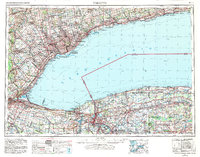 1962 Toronto1982 Print · USGSThe Golden Horseshoe and the Niagara Frontier meet in this early 1960s study of a growing international border region. Trace the path of the Welland Canal and locate land marks like the Scarborough Bluffs and Tuscarora Indian Reservation.
 - 1965 Map of Toronto
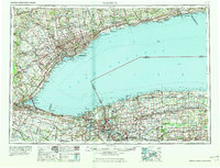 1965 Toronto1965 Print · USGSThe Golden Horseshoe and Niagara Frontier are shown in detail during the early sixties, highlighting the international shipping and transit networks. Trace the path of the Erie Canal, the Welland Canal, and rail lines connecting Toronto and Niagara Falls.2 unique versions available
 - 1965 Map of Cambria, 1968 Print
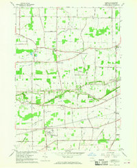 1965 Cambria1968 Print · USGSNiagara County farmland and crossroads settlements are captured here during the mid-1960s. Genealogists and researchers can trace family landmarks like Budd Cem and the extensive operations at the Lockport Air Force Station.
 - 1965 Map of Ransomville, 1968 Print
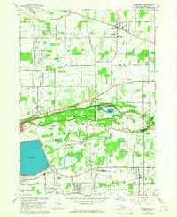 1965 Ransomville1968 Print · USGSNiagara County was undergoing a steady transition in the 1960s as local industry and suburban growth met long-standing farming communities. Genealogists and historians can trace the borders of the Tuscarora Indian Reservation or locate family sites near Model City and Sanborn.
 - 1980 Map of Cambria
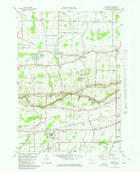 1980 Cambria1980 Print · USGSNiagara County in the early eighties shows a mix of Cold War military presence and educational growth. Researchers can trace the layout of the Lockport Air Force Station, find St Peters Ch, or explore the CONRAIL rail corridor.
 - 1980 Map of Ransomville
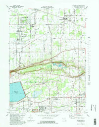 1980 Ransomville1980 Print · USGSNiagara County's agricultural and industrial character is preserved here in the early eighties, from the Lake Ontario plains to the Tuscarora escarpment. Trace local family roots and historical land use through landmarks like Mt Hope Cem, the settlement at Model City, and the Tuscarora Indian Reservation.2 unique versions available
 - 1984 Map of Lockport, 1985 Print
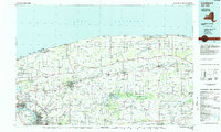 1984 Lockport1985 Print · USGSWestern New York in the 1980s shows a landscape of lakefront parks, industrial rail corridors, and vast protected wetlands. Genealogists and historians can trace the legacy of local families through sites like Acacia Park Cem or the Tuscarora Indian Reservation.2 unique versions available
 - 2010 Map of Ransomville, 2010 Print
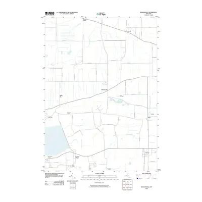 2010 Ransomville2010 Print · USGSNiagara County rural life and community centers are preserved in this 2010 survey of the landscape south of Lake Ontario. Genealogists and local historians can trace family locations near Model City, Pekin, and historic burial grounds like Mount View Cemetery.
 - 2010 Map of Cambria, 2010 Print
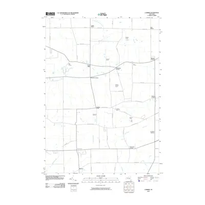 2010 Cambria2010 Print · USGSNiagara County’s crossroads communities and fruit farms are preserved here in the early twenty-first century. Genealogists and local researchers can trace family lands near North Ridge Cemetery and historic hubs like Molyneaux Corners and Cambria Station.
 - 2013 Map of Ransomville, 2013 Print
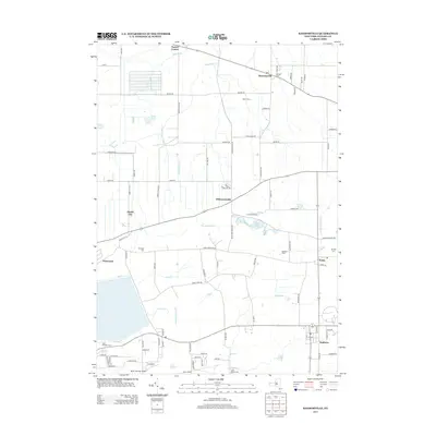 2013 Ransomville2013 Print · USGSWestern New York's agricultural heartland is captured here in the early 21st century, centered on the historic village of Ransomville. Genealogists and local historians can trace legacy sites like Pioneer Cem, the settlement of Pekin, and the grounds of Baker Farms.
 - 2013 Map of Cambria, 2013 Print
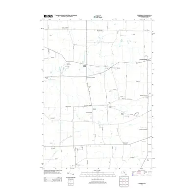 2013 Cambria2013 Print · USGSNiagara County's agricultural heartland is captured here in the early twenty-first century, showing a landscape of family-run operations and quiet rural crossroads. Researchers can locate historic burial grounds like North Ridge Cem and trace the footprints of multi-generational properties such as the Blackman Homestead Farm.
 - 2016 Map of Cambria, 2016 Print
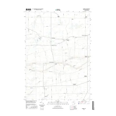 2016 Cambria2016 Print · USGSNiagara County's rural heartland is documented here in the late twenty-teens, showing the enduring crossroads settlements and churchyards along the escarpment. Genealogists can locate family landmarks like the Pomeroy Cem, Budd Cem, and the historic Shawnee settlement.
 - 2016 Map of Ransomville, 2016 Print
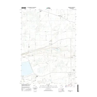 2016 Ransomville2016 Print · USGSNiagara County hamlets and rural landscape are captured here in the mid-2010s, showing the reach of local aviation and education. Researchers can locate historic family plots at Pioneer Cem or trace the grounds of Niagara County Community Coll and Colonial Airport.
 - 2019 Map of Cambria, 2019 Print
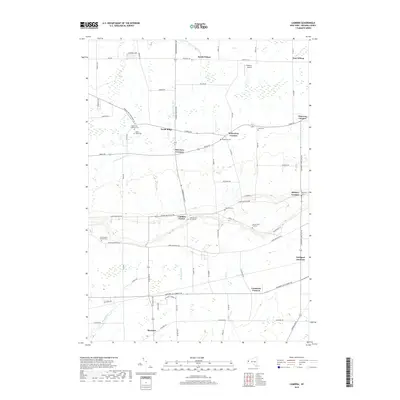 2019 Cambria2019 Print · USGSNiagara County's agricultural heartland is documented here in the early twenty-first century, spanning the ridge from Shawnee to the Wilson town line. Genealogists can locate several historic burial sites like Hillside Cem of Cambria, Molyneaux Cem, and Pomeroy Cem.
 - 2019 Map of Ransomville, 2019 Print
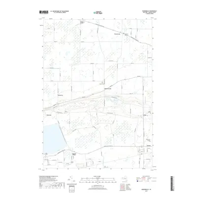 2019 Ransomville2019 Print · USGSNiagara County in the late 2010s shows a mix of rural crossroads and growing residential hubs between Lake Ontario and the escarpment. Local historians can trace family roots at Curtiss Pioneer Cem or explore the development around Model City and Colonial Village.
 - 2023 Map of Cambria, 2023 Print
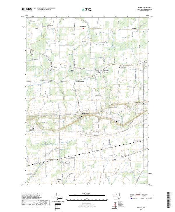 2023 Cambria2023 Print · USGSNiagara County rural life is captured here in the early 2020s, showcasing a landscape of established hamlets and deep family roots. Researchers can locate numerous historical burial sites like Hillside Cem of Cambria and the North Ridge Cem near Cambria Center.
 - 2023 Map of Ransomville, 2023 Print
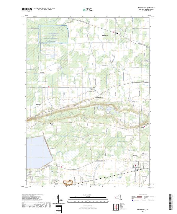 2023 Ransomville2023 Print · USGSNiagara County's rural landscape comes into focus in this contemporary survey of the hamlets and farms north of the Niagara Escarpment. Researchers can locate early burial sites like Mount Hope Cem and trace the development of Model City and Sanborn.
End of results
Showing maps 1-25 of 25
Top cities near Sanborn
- Buffalo historical maps
- Amherst historical maps
- Cheektowaga historical maps
- Tonawanda historical maps
- Niagara Falls historical maps
- Lancaster historical maps
See more
Frequently asked questions
- What are the different types of historical maps available for Sanborn?
- What is the oldest map of Sanborn?
- Where can I purchase historical maps of Sanborn for my home or office?
- Where can I download high-res historical maps of Sanborn?
- Are there historical topographic maps available for Sanborn?
- Is there historical aerial imagery available for Sanborn?
- Where are historical maps of Sanborn sourced from?