Old Maps of Saint Johnsburg, Wheatfield for Academic Research
Study the evolution of Saint Johnsburg with 19 high-resolution historic maps. Whether you're teaching, researching, or modeling changes in land use, these maps provide essential visual documentation of urban, environmental, and geographic change.
- Analyze long-term change: Track patterns in development, transportation, and natural features.
- Ideal for environmental or urban studies: Support academic projects with primary historical map data.
- Use in the classroom or lab: Educators and researchers rely on these maps to bring historical context to life.
These maps are a powerful tool for teaching, research, and visualizing how Saint Johnsburg has changed over the decades.
Saint Johnsburg, Wheatfield maps
(19)- 1897 Map of Tonawanda
 1897 Tonawanda1897 Print · USGSNiagara and Erie counties thrived at the close of the nineteenth century as vital corridors of commerce. Genealogists and historians can trace the early rail networks through Pekin or locate riverside landmarks like Sour Spring Grove and the Erie Canal.
 - 1899 Map of Niagara
 1899 Niagara1899 Print · USGSThe Niagara Frontier is mapped here in the late nineteenth century as a bustling corridor of trade and transport. Researchers can trace the path of the Erie Canal through Lockport or locate early rural settlements like Ransomville and the Tuscarora Indian Reservation.6 unique versions available
 - 1900 Map of Tonawanda
 1900 Tonawanda1900 Print · USGSNiagara County and northern Erie County are shown at the turn of the century as the Erie Canal and heavy rail lines drove the growth of the North Tonawanda lumber and shipping hub. Genealogists can trace family footprints in outlying hamlets like Bergholtz, Ransomville, and Martinsville.
 - 1901 Map of Tonawanda
 1901 Tonawanda1901 Print · USGSAt the turn of the century, the Niagara Frontier was a powerhouse of canal and rail transit. Genealogists can trace family footprints in settlements like Sanborn, Martinsville, and Bergholtz, or follow the original path of the ERIE CANAL through Tonawanda.7 unique versions available
 - 1948 Map of Tonawanda, 1953 Print
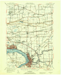 1948 Tonawanda1953 Print · USGSNiagara and Erie counties are shown here just after the war, where the Niagara River meets the historic Erie Canal. Genealogists and local historians can trace the early layout of North Tonawanda or locate family sites at Molyneaux Corners and Colonial Village.3 unique versions available
 - 1948 Map of Tonawanda West, 1958 Print
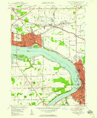 1948 Tonawanda West1958 Print · USGSThe industrial and riverfront character of the Niagara frontier is on full display during the postwar era. Genealogists and historians can trace rail networks like the New York Central RR and locate local landmarks such as Bishop Duffy High Sch or the Holy Ghost Cem (Church).2 unique versions available
 - 1950 Map of Tonawanda West
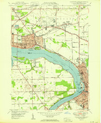 1950 Tonawanda West1950 Print · USGSNiagara Falls and North Tonawanda are captured during a period of major post-war industrial and suburban growth. Researchers can trace the development of Cayuga Island, find local schools like Gratwick Sch, and locate family plots at White Haven Cem.
 - 1952 Map of Toronto, 1954 Print
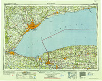 1952 Toronto1954 Print · USGSLake Ontario and the international border define this mid-century landscape of rapid industrial and suburban growth. Researchers can trace the vital shipping and rail corridors of the era, from the Welland Canal to the New York Central Railroad.
 - 1954 Map of Tonawanda West
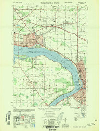 1954 Tonawanda West1954 Print · USGSThe Niagara River corridor and Grand Island are captured during a mid-century period of industrial and suburban growth. Researchers can locate family landmarks like St Johnsburg, Holy Ghost Cem, and Bishop Duffy High Sch.
 - 1962 Map of Toronto, 1982 Print
 1962 Toronto1982 Print · USGSThe Golden Horseshoe and the Niagara Frontier meet in this early 1960s study of a growing international border region. Trace the path of the Welland Canal and locate land marks like the Scarborough Bluffs and Tuscarora Indian Reservation.
 - 1965 Map of Toronto
 1965 Toronto1965 Print · USGSThe Golden Horseshoe and Niagara Frontier are shown in detail during the early sixties, highlighting the international shipping and transit networks. Trace the path of the Erie Canal, the Welland Canal, and rail lines connecting Toronto and Niagara Falls.2 unique versions available
 - 1965 Map of Tonawanda West, 1967 Print
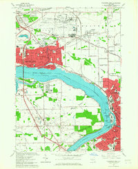 1965 Tonawanda West1967 Print · USGSNiagara and Erie counties are captured here in the mid-sixties, a period of heavy industrial activity and Cold War aviation expansion. Researchers can trace family sites like Holy Ghost Cem or explore the massive layout of the Niagara Falls Air Force Base and the riverfront Buckhorn Island State Park.
 - 1980 Map of Tonawanda West
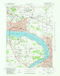 1980 Tonawanda West1980 Print · USGSThe Niagara River frontier in the early 1980s reveals a landscape of heavy industry, military aviation, and growing suburbs. Researchers can trace historic cemeteries like Holy Ghost Cem, local schools such as Duffy High Sch, and the layout of Grand Island.
 - 1984 Map of Lockport, 1985 Print
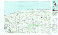 1984 Lockport1985 Print · USGSWestern New York in the 1980s shows a landscape of lakefront parks, industrial rail corridors, and vast protected wetlands. Genealogists and historians can trace the legacy of local families through sites like Acacia Park Cem or the Tuscarora Indian Reservation.2 unique versions available
 - 2010 Map of Tonawanda West, 2010 Print
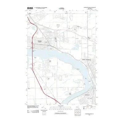 2010 Tonawanda West2010 Print · USGSThe Niagara River corridor at the turn of the decade shows a landscape of dense residential grids and heavy transport infrastructure. Genealogists and local historians can trace family sites at White Haven Cemetery or locate the historic Love Canal district and Sandy Beach.
 - 2013 Map of Tonawanda West, 2013 Print
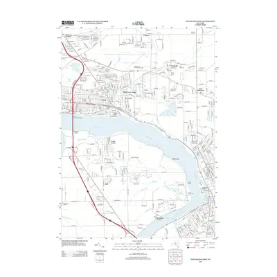 2013 Tonawanda West2013 Print · USGSThe Niagara River corridor and the eastern edge of Niagara Falls are captured here in the early twenty-first century. Researchers can trace neighborhood development near Love Canal or locate local landmarks like Saint Johns Cem and the Niagara Falls International Airport.
 - 2016 Map of Tonawanda West, 2016 Print
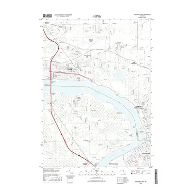 2016 Tonawanda West2016 Print · USGSThe Niagara River corridor and Grand Island are shown in detail during the mid-2010s, capturing the suburban development between NIAGARA FALLS and TONAWANDA. Researchers can trace local heritage through numerous sites like Saint Johns Cem or explore the geography of Cayuga Island and Buckhorn Island State Park.
 - 2019 Map of Tonawanda West, 2019 Print
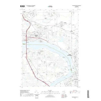 2019 Tonawanda West2019 Print · USGSNiagara and Erie Counties are captured here as the industrial riverfronts of the Buffalo-Niagara region continue to evolve. Genealogists and local historians can trace family roots through numerous denominational sites, including Holy Ghost Cem, Saint Johnsburg, and Maple Grove Cem.
 - 2023 Map of Tonawanda West, 2023 Print
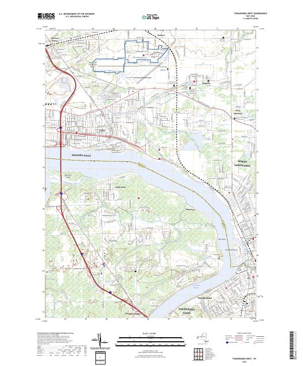 2023 Tonawanda West2023 Print · USGSThe Niagara River and its island communities are captured here in the early twenty-first century. Genealogists can locate family names at Saint Paul Lutheran Church Cem or trace the early street grids of Bergholtz and Grandyle Village.
End of results
Showing maps 1-19 of 19
Top cities near Saint Johnsburg
- Buffalo historical maps
- Amherst historical maps
- Cheektowaga historical maps
- Tonawanda historical maps
- Niagara Falls historical maps
- West Seneca historical maps
See more
Frequently asked questions
- What are the different types of historical maps available for Saint Johnsburg?
- What is the oldest map of Saint Johnsburg?
- Where can I purchase historical maps of Saint Johnsburg for my home or office?
- Where can I download high-res historical maps of Saint Johnsburg?
- Are there historical topographic maps available for Saint Johnsburg?
- Is there historical aerial imagery available for Saint Johnsburg?
- Where are historical maps of Saint Johnsburg sourced from?