Old Maps of De Witt, New York for Genealogy
Trace your family roots with 31 historic maps of De Witt. These high-res maps reveal old neighborhoods, homesites, landmarks, and streets — helping you uncover where your ancestors lived and how the area evolved over time.
- Explore historic neighborhoods: Identify where your relatives may have lived in the 1800s or 1900s.
- Compare maps over time: Trace the changes in streets, buildings, and landmarks for multi-generational research.
- Perfect for genealogy & ancestry research: Used by family historians and researchers to map out lineage and migration.
These maps are an incredible resource for exploring your personal connection to De Witt's past.
De Witt, NY maps
(31)- 1895 Map of Syracuse
 1895 Syracuse1895 Print · USGSSyracuse and the surrounding canal country are captured here in the late nineteenth century as the region thrived on salt production and rail traffic. Trace the vanished industrial Salt Sheds, the historic Erie Canal, and landmarks like the State Fair Grounds.
 - 1898 Map of Syracuse
 1898 Syracuse1898 Print · USGSSyracuse was a burgeoning railroad and canal junction at the end of the nineteenth century, surrounded by thriving villages and salt works. Genealogists and historians can trace family-named sites and vanished industrial works near the Salt Sheds, Cicero Swamp, and Fayetteville.10 unique versions available
 - 1900 Map of Tully
 1900 Tully1900 Print · USGSIn the hills south of Syracuse during the late 1890s, this area supported a network of dairy farms and rail-dependent hamlets. Genealogists can locate long-lost rural communities like Maple Grove (Case P.O.), the Onondaga Indian Reservation, and the resort grounds at Assembly Park.9 unique versions available
 - 1938 Map of Syracuse East
 1938 Syracuse East1938 Print · USGSOnondaga County in the late 1930s shows a landscape of rail yards and growing suburban hamlets. Researchers can trace the industrial footprint of the New York Central Yards or locate local landmarks like the Orphans Home and St Marys Cemetery.2 unique versions available
 - 1943 Map of Syracuse East
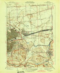 1943 Syracuse East1943 Print · USGSEastern Onondaga County during the mid-forties shows the industrial height of the rail and canal era. Genealogists and researchers can trace local landmarks like the Orphans Home, St Marys Cemetery, and the freight Yards at Minoa.2 unique versions available
 - 1943 Map of Jamesville
 1943 Jamesville1943 Print · USGSOnondaga County is captured during the mid-century as a network of hill-country villages and vital transit corridors. Researchers can trace ancestral locations through numerous family-named landmarks like Spoor Cem, the County Penitentiary, and several school districts including Central Sch.2 unique versions available
 - 1949 Map of Jamesville
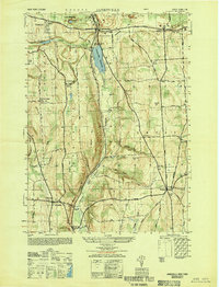 1949 Jamesville1949 Print · USGSCentral New York at the end of the 1940s shows a landscape of steep hills and winding valley roads. Researchers can trace the Delaware Lackawanna and Western line or locate family sites like Pioneer Cem and Onativia.
 - 1950 Map of Elmira
 1950 Elmira1950 Print · USGSThe Finger Lakes region thrived in the late 1940s as a hub of industry and transport. Trace family roots and vanished landmarks near Seneca Lake or explore the rail lines of the Erie RR and the sprawling Seneca Ordnance Depot.2 unique versions available
 - 1955 Map of Jamesville, 1956 Print
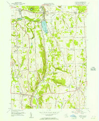 1955 Jamesville1956 Print · USGSOnondaga County in the mid-1950s shows a mix of rural homesteads and industrial growth centered on the village of Jamesville. Genealogists and researchers can trace local landmarks like Pioneer Cem, the County Penitentiary, and the old Onativia settlement.2 unique versions available
 - 1955 Map of Tully, 1961 Print
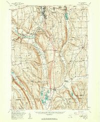 1955 Tully1961 Print · USGSCentral New York at the dawn of the interstate era reveals a landscape of glacial lakes and historic upland hamlets. Genealogists can trace family sites at Pioneer Cem or St Patrick Cem, while identifying rail stops like Apulia Station.2 unique versions available
 - 1957 Map of Syracuse East, 1959 Print
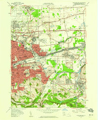 1957 Syracuse East1959 Print · USGSThe Syracuse suburbs and industrial corridors are captured during the peak of mid-century growth. Trace the rail-and-canal economy from the DeWitt Yards to the Erie Canal, alongside Syracuse University and the emerging Carrier Circle.4 unique versions available
 - 1958 Map of Elmira
 1958 Elmira1958 Print · USGSThe New York Finger Lakes during the late fifties reveal a complex landscape of glacial geology and industrial growth. Researchers can trace historic transport corridors like the Erie Canal and Erie RR, or locate institutional landmarks like Cornell University.2 unique versions available
 - 1960 Map of Rochester
 1960 Rochester1960 Print · USGSThe Lake Ontario shoreline in the late fifties was a bustling corridor of rail and water commerce. Genealogists and historians can trace the path of the New York Central through canal towns like Newark or explore the coastal landmarks around Sackets Harbor.2 unique versions available
 - 1961 Map of Rochester, 1973 Print
 1961 Rochester1973 Print · USGSThe Lake Ontario shoreline and Finger Lakes frontier are shown here at the height of the mid-century infrastructure boom. Genealogists and historians can trace the rail-and-road evolution from Sackets Harbor down to the New York State Thruway, passing through centers like Pulaski and Adams Center.3 unique versions available
 - 1962 Map of Elmira, 1969 Print
 1962 Elmira1969 Print · USGSThe Finger Lakes region and Southern Tier are captured here during a period of industrial maturity and highway expansion. Researchers can trace the path of the Erie Canal, the footprint of the Seneca Army Depot, and legacy rail lines through Elmira and Ithaca.4 unique versions available
 - 1965 Map of Rochester
 1965 Rochester1965 Print · USGSUpstate New York's industrial heartland is captured here during a period of significant growth between the Great Lakes and the Finger Lakes. Genealogists and historians can trace the evolution of canal towns and rail hubs from Rochester to Syracuse, noting features like the Erie Canal and the New York State Thruway.
 - 1965 Map of Elmira
 1965 Elmira1965 Print · USGSThe Finger Lakes and Southern Tier regions are captured in the mid-sixties, showcasing a landscape of deep glacial valleys and heavy rail infrastructure. Trace old railroad corridors like the Pennsylvania RR or visit landmarks like Letchworth State Park and the Seneca Army Depot.
 - 1973 Map of Jamesville, 1977 Print
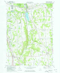 1973 Jamesville1977 Print · USGSCentral New York south of Syracuse in the early seventies shows a landscape of steep ridges and deep glacial valleys. Genealogists and historians can trace family locations through sites like Onativia Church, Pioneer Cemetery, and Fillmore Corner.
 - 1977 Map of Syracuse East, 1978 Print
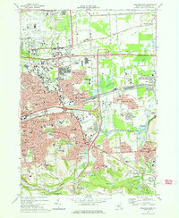 1977 Syracuse East1978 Print · USGSThe eastern suburbs of Syracuse come alive in the late seventies, showing the dense intersection of industrial rail and modern air travel. Trace local family history through St Marys Cemetery or explore the vast De Witt Yards and the historic Erie Canal.
 - 1985 Map of Syracuse
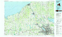 1985 Syracuse1985 Print · USGSCentral New York in the mid-eighties shows a landscape of established canal towns and growing metropolitan suburbs linked by rail and water. Researchers can trace the path of the Erie Canal, find the boundaries of Montezuma Marsh, and locate regional landmarks like Oneida Lake and Chimney Bluffs.3 unique versions available
 - 1986 Map of Auburn
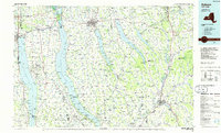 1986 Auburn1986 Print · USGSThe Finger Lakes region in the mid-eighties shows a landscape of deep glacial waters and significant military sites. Trace the layout of the Seneca Army Depot, find the campus of Wells College, and follow the historic Lehigh Valley RR lines.2 unique versions available
 - 2010 Map of Jamesville, 2010 Print
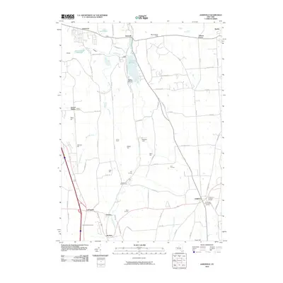 2010 Jamesville2010 Print · USGSSoutheast of Syracuse in the early twenty-first century, this landscape preserves a dense network of early settlement sites and family cemeteries. Genealogists can locate ancestors at the LaFayette Rural Cemetery or Bush Cemetery while tracing the geography of Stebbins Gulf and Onativia.
 - 2010 Map of Syracuse East, 2010 Print
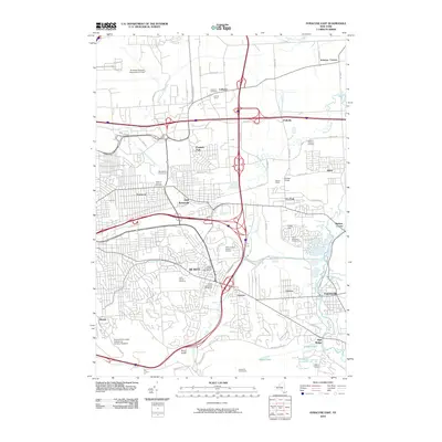 2010 Syracuse East2010 Print · USGSSyracuse's eastern suburbs and industrial corridors are captured here during a period of modern transit growth. Researchers can trace the layout of the DeWitt Yards or locate local landmarks like Ratnour Bridge and Saint Marys Cemetery.
 - 2013 Map of Jamesville, 2013 Print
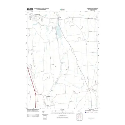 2013 Jamesville2013 Print · USGSThe hills south of Syracuse appear in great detail here, showing the transition from the valley floor to the high ridges of Pompey. Researchers can trace historic burial sites like Houghtaling Bush Cemetery or locate the old NY S & W Railroad line through The Tunnel.
 - 2013 Map of Syracuse East, 2013 Print
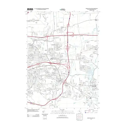 2013 Syracuse East2013 Print · USGSThe eastern suburbs of Syracuse come into focus during this early 21st-century survey of Onondaga County. Genealogists and local researchers can trace legacy family plots at the DeWitt Cemetery Old Section or explore the industrial hubs around Carrier Circle and DeWitt Yards.
Showing maps 1-25 of 31
Top cities near De Witt
- Syracuse historical maps
- Clay historical maps
- Manlius historical maps
- Salina historical maps
- Cicero historical maps
- DeWitt historical maps
See more
Top neighborhoods of De Witt
- Franklin Park historical maps
- Collamer historical maps
- Lyndon historical maps
- Jamesville historical maps
- DeWitt historical maps
- East Syracuse historical maps
See more
Frequently asked questions
- What are the different types of historical maps available for De Witt?
- What is the oldest map of De Witt?
- Where can I purchase historical maps of De Witt for my home or office?
- Where can I download high-res historical maps of De Witt?
- Are there historical topographic maps available for De Witt?
- Is there historical aerial imagery available for De Witt?
- Where are historical maps of De Witt sourced from?